Río Negro
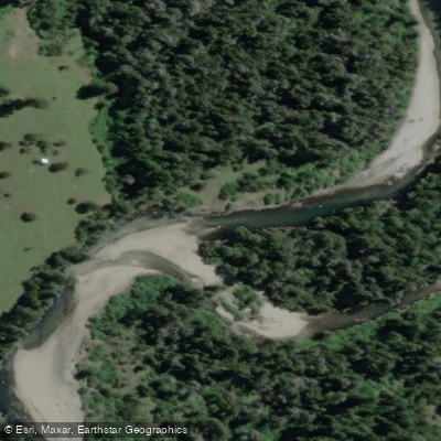
Río Negro
- Boat Ramps
- 0
- Access Points
- 0
- Campsites
- 0
The Río Negro in the Los Lagos Region of southern Chile is one of the principal tributaries of the Rahue River, originating in the Coastal Precordillera and draining part of the eastern slopes of Cordillera Pelada as it flows from south to north. Its confluence with the Rahue sits at an elevation of approximately 26 meters. The commune of Río Negro takes its name from this river.
The section of the Río Negro near Hornopirén is known to kayakers for its steep basalt drops, giving it a notably different character from the nearby Río Blanco, which features smooth granite boulders and glacial meltwater. The two rivers run only a few miles apart in the Hornopirén area but present distinctly different paddling experiences. Hornopirén itself is accessible from Puerto Montt via a combination of road and small ferry, and it is considered the gateway to Patagonia.
The steep basalt drops indicate that this is a technically demanding river, and paddlers should be prepared for committing whitewater. Beyond this general characterization, specific details on access points, portages, seasonal flow levels, water temperature, and facilities are not well documented, so thorough on-the-ground scouting and consultation with local outfitters in the Hornopirén area is advisable before attempting a descent.
Water access, boat ramps & amenities
Learn how to get on Río Negro. Uncover great paddling access points, boat ramps, and all the facilities you need for an unforgettable day on the water. Some locations shown may border or include private property. Always check property boundaries and applicable regulations before visiting. PaddleWays's Public & Private Land layer can help you plan your access with confidence.
Paddle smarter with real-time insights
Whether you're en route and conditions shift or you're looking for the best spot based on current flows, we enable you to make informed decisions on the fly.







Los Lagos licenses and regulations
No licenses or regulations available for Los Lagos.
Find Places to Paddle

Over 400,000 Places to Paddle
Every user gets free access to launch points, boat ramps, and public property parcels.


Water and weather conditions (10 day forecast)
See the best times to paddle Río Negro and check the forecast before you go.
No forecast data available.
Paddling near Río Negro
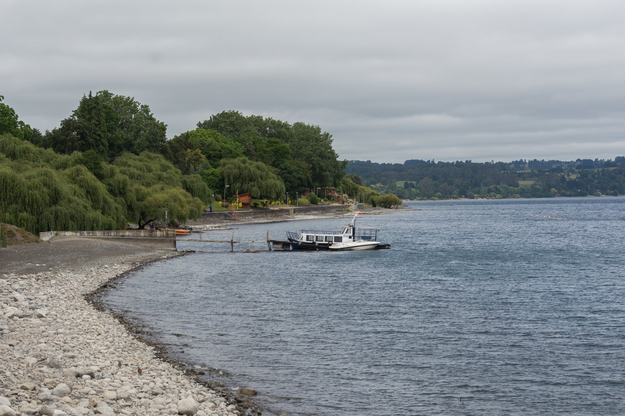
Lago Ranco
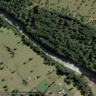
Río Nilahue
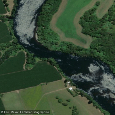
Río Bueno
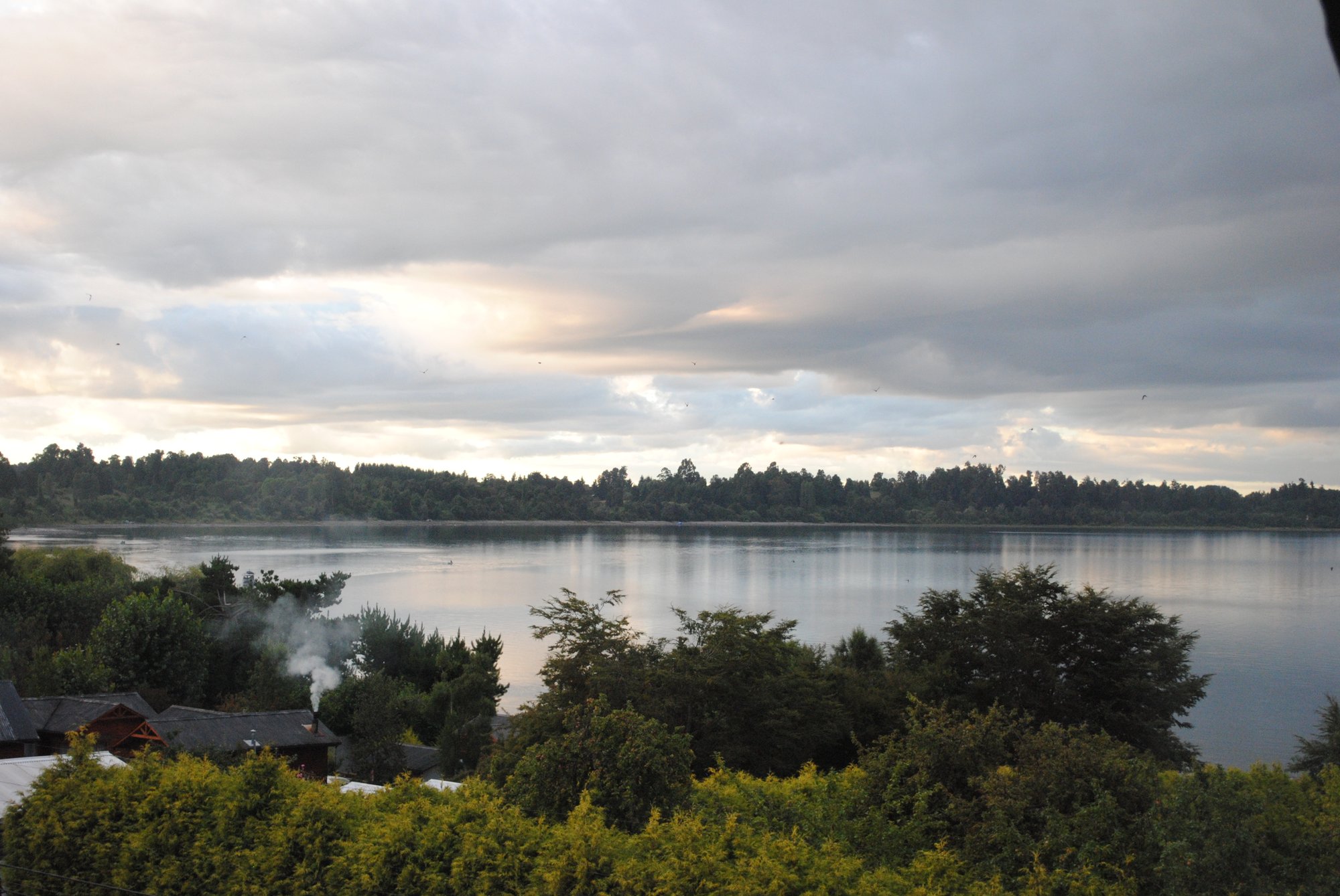
Lago Puyehue
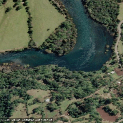
Río Calcurrupe
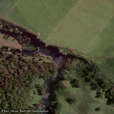
Río Pilmaiquén

Río Calle Calle
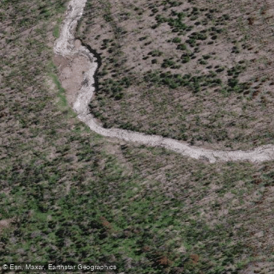
Río Golgol
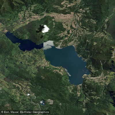
Lago Maihue
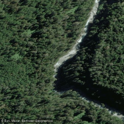
Río Fuy
Explore Los Lagos waters
Top paddling waters
No waters available right now.
Popular Cities
Loading popular cities...
Explore near Río Negro

Smarter Paddling Starts in the App.
Paddleways gives you everything you need to plan smarter, paddle better, and own every trip from first launch to takeout.