Río Negro
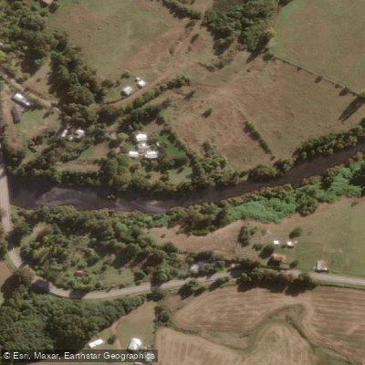
Río Negro
- Boat Ramps
- 0
- Access Points
- 0
- Campsites
- 0
The Río Negro is one of the principal tributaries of the Rahue River in the Los Lagos Region of southern Chile. It originates in the Coastal Precordillera and flows from south to north, draining part of the eastern slopes of the Cordillera Pelada, before joining the Rahue River at an elevation of approximately 26 meters. The commune of Río Negro takes its name from the river.
The local tourism office of Río Negro has organized guided kayak descents on the river, running from Puente Esmeralda downstream to Puente Chapaco. Organizers have described the river as presenting minimal technical complexity, making it accessible to paddlers without advanced whitewater skills. These organized events have included safety personnel and a specialized kayak instructor, reflecting a cautious approach to the river even at lower difficulty levels. Participation in organized descents has been limited to adults aged 18 and over.
Given how little is publicly documented about this river's seasonal conditions, water temperature, hazards, and independent access logistics, paddlers planning a trip should contact the Unidad de Turismo of the Municipalidad de Río Negro directly for current guidance on put-in and take-out access, safety considerations, and any requirements for paddling the river independently.
Water access, boat ramps & amenities
Learn how to get on Río Negro. Uncover great paddling access points, boat ramps, and all the facilities you need for an unforgettable day on the water. Some locations shown may border or include private property. Always check property boundaries and applicable regulations before visiting. PaddleWays's Public & Private Land layer can help you plan your access with confidence.
Paddle smarter with real-time insights
Whether you're en route and conditions shift or you're looking for the best spot based on current flows, we enable you to make informed decisions on the fly.







Los Lagos licenses and regulations
No licenses or regulations available for Los Lagos.
Find Places to Paddle

Over 400,000 Places to Paddle
Every user gets free access to launch points, boat ramps, and public property parcels.


Water and weather conditions (10 day forecast)
See the best times to paddle Río Negro and check the forecast before you go.
No forecast data available.
Paddling near Río Negro
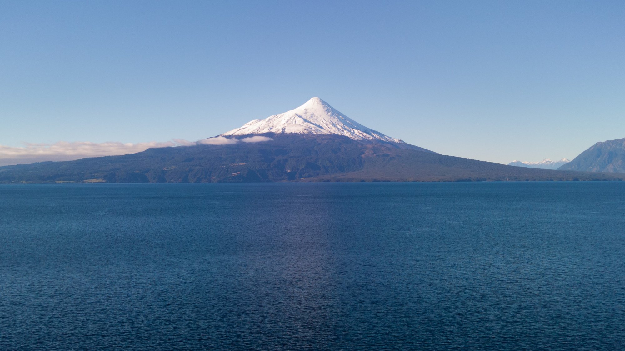
Lago Llanquihue
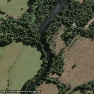
Río Maullín
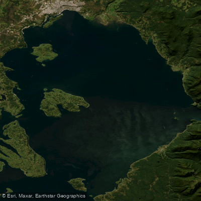
Seno de Reloncaví
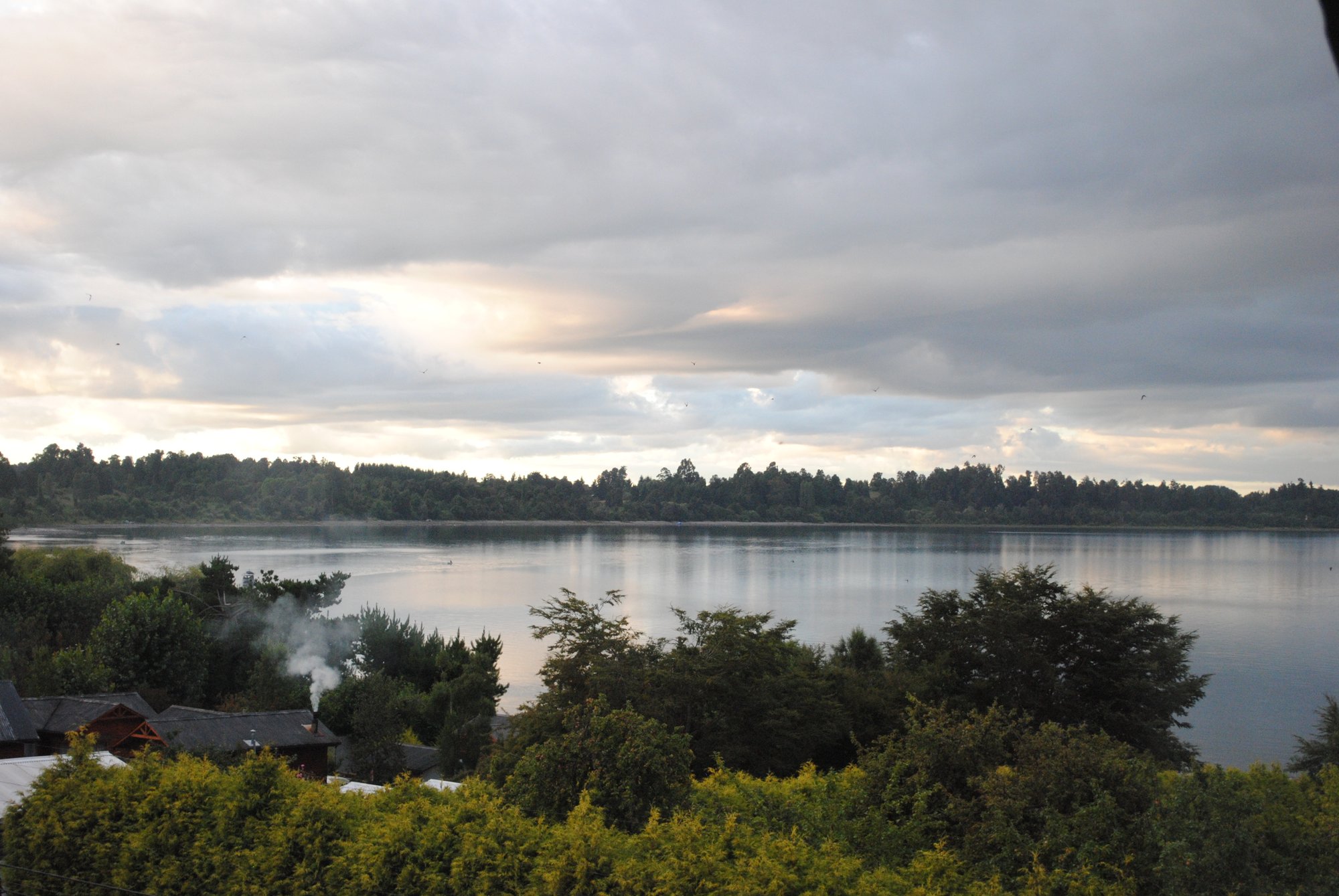
Lago Puyehue
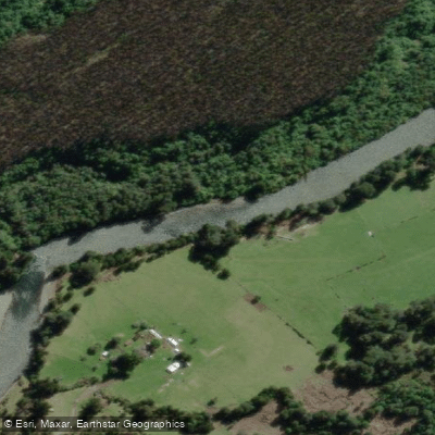
Río Coihueco
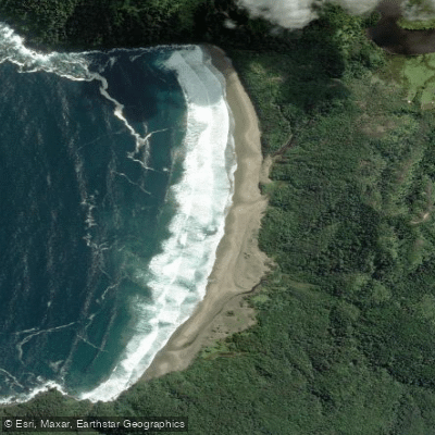
Playa Rada de Ranú
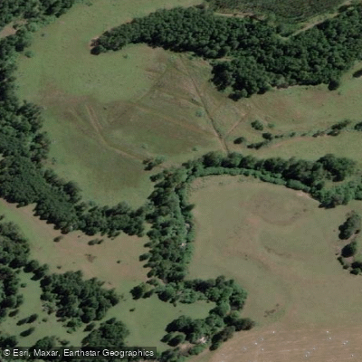
Río Blanco
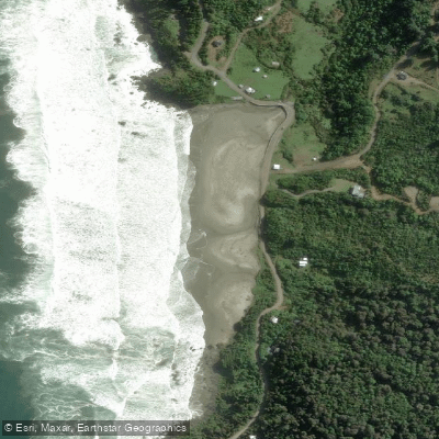
Playa Panguirruca
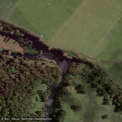
Río Pilmaiquén
Explore Los Lagos waters
Top paddling waters
No waters available right now.
Popular Cities
Loading popular cities...
Explore near Río Negro

Smarter Paddling Starts in the App.
Paddleways gives you everything you need to plan smarter, paddle better, and own every trip from first launch to takeout.