Lago Llanquihue
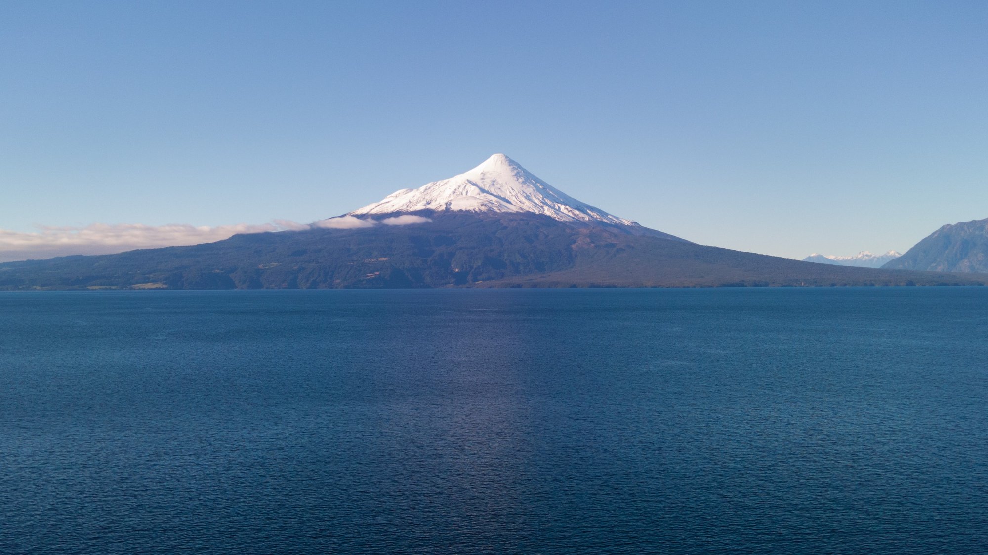
Lago Llanquihue
- Boat Ramps
- 0
- Access Points
- 5
- Campsites
- 18
Lago Llanquihue is the second-largest lake in Chile, located in the Los Lagos Region of southern Chile. A 186-kilometer paved road encircles the entire shoreline, making it one of only two lakes in the Chilean Lake Region with a complete ring road. The lake is framed by three prominent volcanoes — Osorno, Calbuco, and Puntiagudo — whose snow-capped peaks are frequently reflected in the lake's intensely blue waters. Lush native and evergreen forests, including ancient alerce trees, border much of the shoreline, shaped by past glaciations.
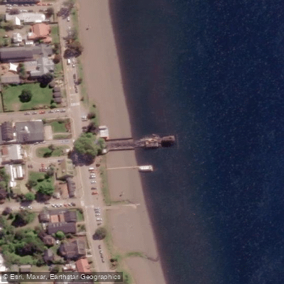
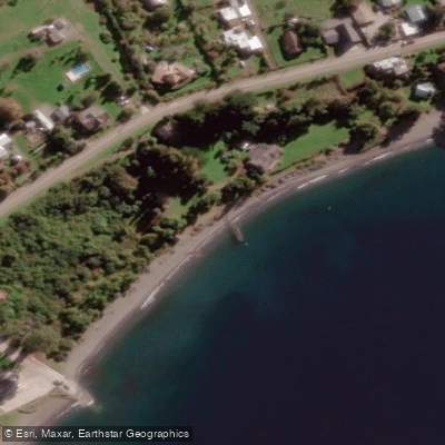
The main towns along the lake are Puerto Varas on the southern shore, Frutillar to the northwest, Puerto Octay to the north, and Ensenada to the east near the base of Volcán Osorno. Puerto Varas serves as the primary hub for visitors and is reachable from El Tepual Airport in Puerto Montt, approximately 25 kilometers away. Several beaches along the shoreline, including Niklitschek and Venado near Puerto Varas, offer free public access and are suitable for launching kayaks and other small watercraft.
Kayaking and windsurfing are the primary paddling activities on the lake. The area around Puerto Varas along Route 225 toward Ensenada provides direct beach access suitable for kayaking. The lake's clear waters are considered appropriate for swimming as well as paddling. The surrounding towns retain significant architectural heritage from German settlers who arrived in the mid-nineteenth century, giving the shoreline communities a distinctive character visible from the water.
The Vicente Pérez Rosales National Park lies to the east of the lake near Ensenada and adds a wilderness dimension to paddling in that direction. Waterfalls such as those along the Río Blanco are accessible in the broader area. The lake's size means paddlers should be prepared for open-water conditions; the scale of the lake and exposure to Patagonian weather patterns warrant appropriate preparation. The full circuit of the lake's shoreline spans 186 kilometers, offering an extended multi-day paddling route for those wishing to explore the entire perimeter.
Water access, boat ramps & amenities
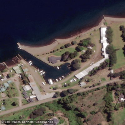
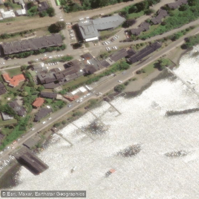
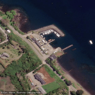
Learn how to get on Lago Llanquihue. Uncover great paddling access points, boat ramps, and all the facilities you need for an unforgettable day on the water. Some locations shown may border or include private property. Always check property boundaries and applicable regulations before visiting. PaddleWays's Public & Private Land layer can help you plan your access with confidence.
Paddle smarter with real-time insights
Whether you're en route and conditions shift or you're looking for the best spot based on current flows, we enable you to make informed decisions on the fly.







Los Lagos licenses and regulations
No licenses or regulations available for Los Lagos.
Find Places to Paddle

Over 400,000 Places to Paddle
Every user gets free access to launch points, boat ramps, and public property parcels.


Water and weather conditions (10 day forecast)
See the best times to paddle Lago Llanquihue and check the forecast before you go.
Rio Maullin En Llanquihue (Efluente)
Paddling near Lago Llanquihue
Río Maullín
Seno de Reloncaví
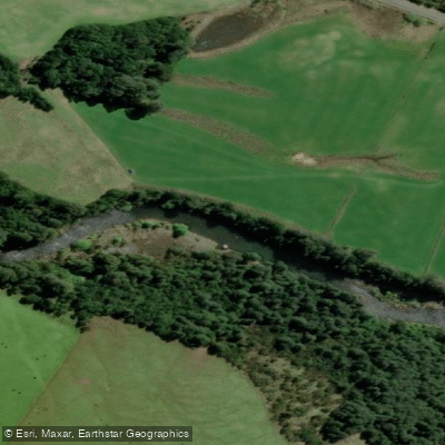
Río Chamiza
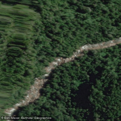
Río Cochamó
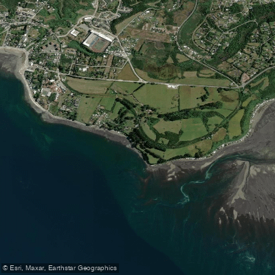
Playa Pelluhuin
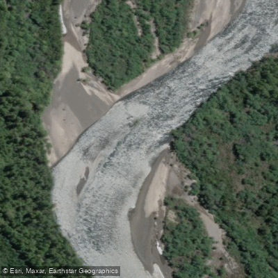
Río Petrohué
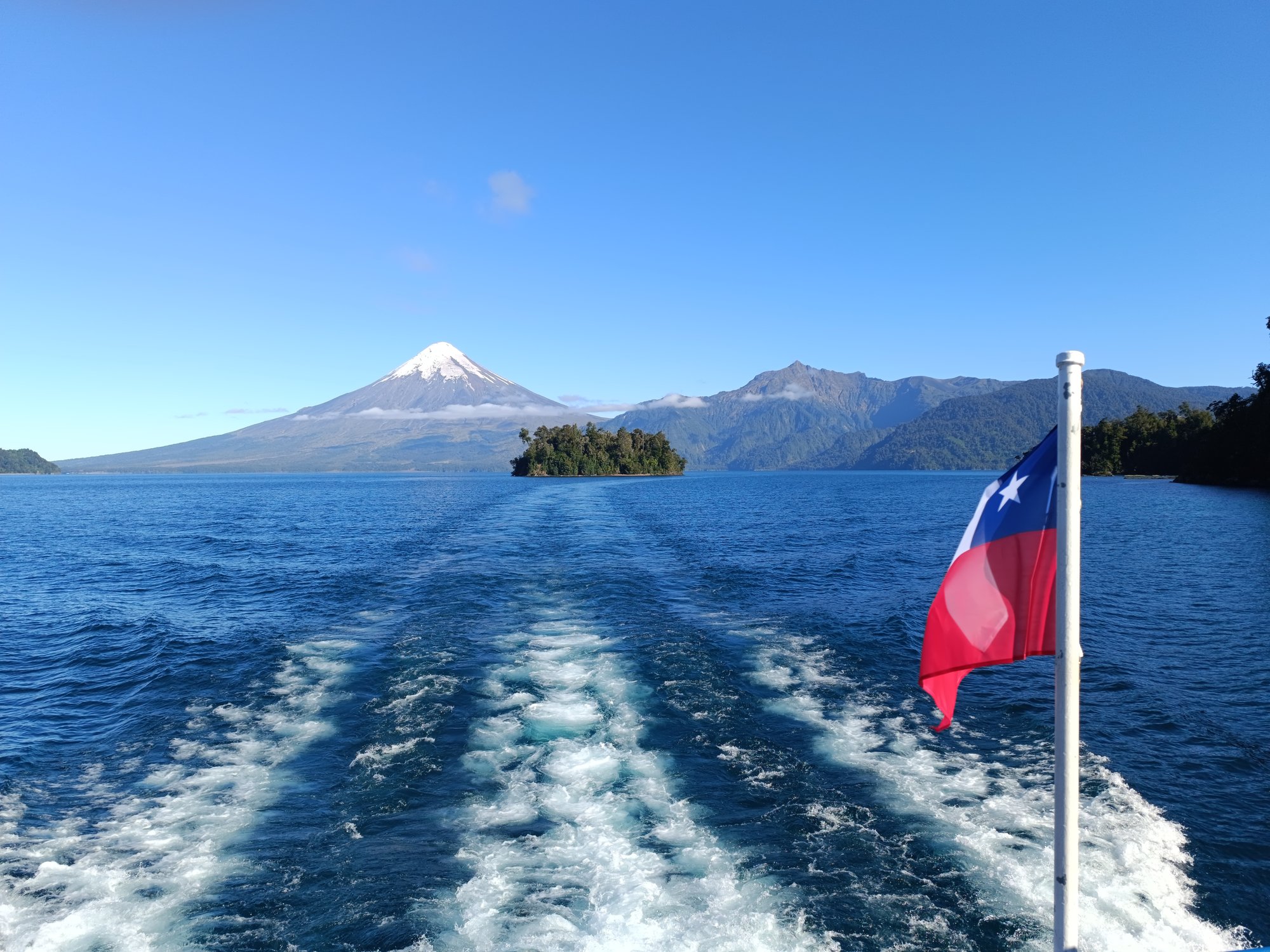
Lago Todos Los Santos
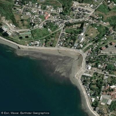
Playa Pelluco
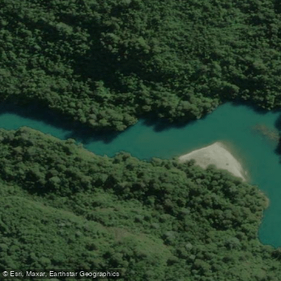
Río Puelo
Explore Los Lagos waters
Top paddling waters
No waters available right now.
Popular Cities
Loading popular cities...
Explore near Lago Llanquihue
Access points
Nearby waters
More in Los Lagos

Smarter Paddling Starts in the App.
Paddleways gives you everything you need to plan smarter, paddle better, and own every trip from first launch to takeout.