Lago Maihue
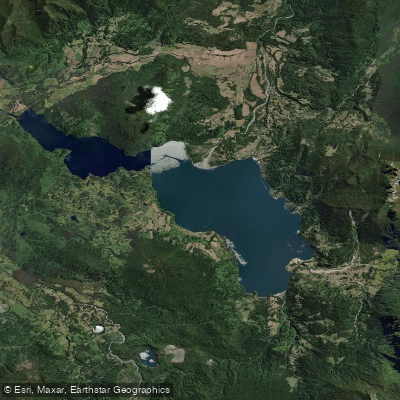
Lago Maihue
- Boat Ramps
- 1
- Access Points
- 0
- Campsites
- 1
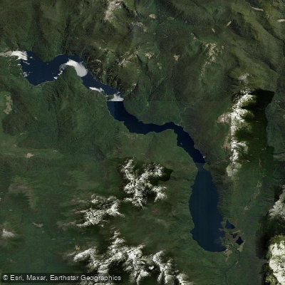
Lago Maihue is a glacial lake located in the Ranco Province of the Los Ríos Region in southern Chile, at approximately 40°17′S 72°03′W. It sits at an elevation of 90 meters within the Andean foothills, enclosed on all sides by mountain ranges. The lake measures 16 km in length and up to 6 km in width, covering a surface area of 47.2 km², with an average depth of around 121 meters and a maximum depth of 207 meters. Its primary inflows are the Río Pillanleufú and the Río Hueinahue, and it drains westward into Lago Ranco via the Río Calcurrupe.
The main access point is from Futrono, approximately 53 km to the west via Route T-55, a paved road that passes through forested terrain. The small settlement of Puerto Maihue sits on the lake's shores and serves as a base for visitors. The eastern shore is accessible via Puerto Hueinahue, reached by continuing roughly 35 km past Llifén.
For paddlers, the lake offers a multi-day traverse option: one documented trip covers nearly 90 km from Lago Maihue to Playa Coique over four days, traveling through the Lago Ranco basin via the Río Calcurrupe. The lake also serves as a staging point for exploring tributary rivers. The Río Hueinahue enters the lake from the east and offers Class 2–3 whitewater on its lower section, while the Río Pillanleufú and the more remote Río Melipué are also accessible from the lake's shores. Kayakers have used the lake itself to reach the mouth of the Río Melipué when road access was unavailable.
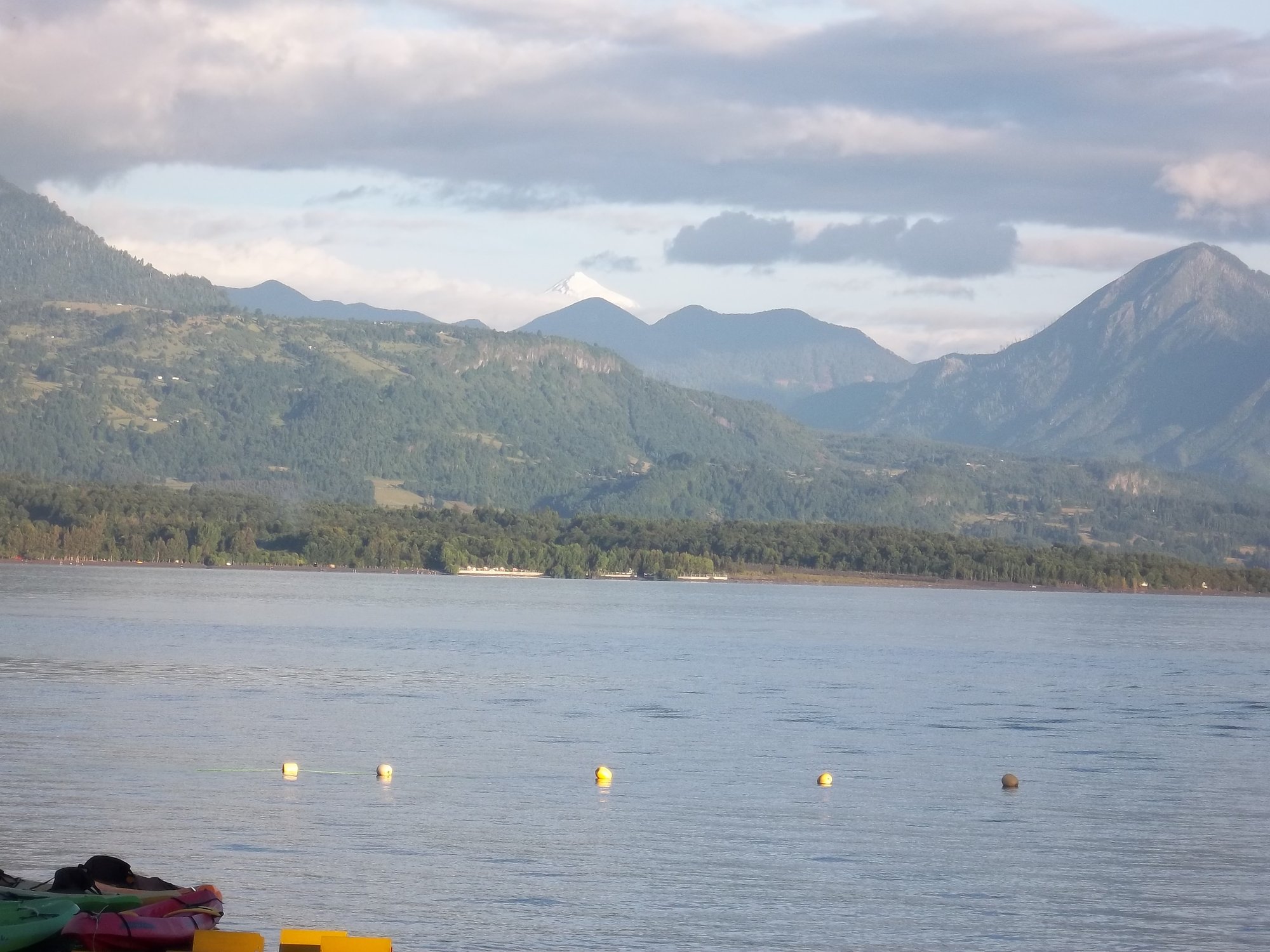
The water is crystal-clear and blue-green in appearance, consistent with its glacial origin. The surrounding landscape is heavily forested with native vegetation. The lake is known for salmon fishing, particularly Chinook salmon, which complete their life cycle in the lake's tributary rivers. The Termas de Chihuio hot springs are located in the broader area and are included in at least one guided kayak itinerary that combines paddling on the lake with a visit to the springs. Camping is available near the lake, including at Camping Los Arrayanes, which has direct lake access. Guided kayak tours operating on the lake provide full equipment including kayaks, PFDs, neoprene suits, and paddling jackets.
Water access, boat ramps & amenities
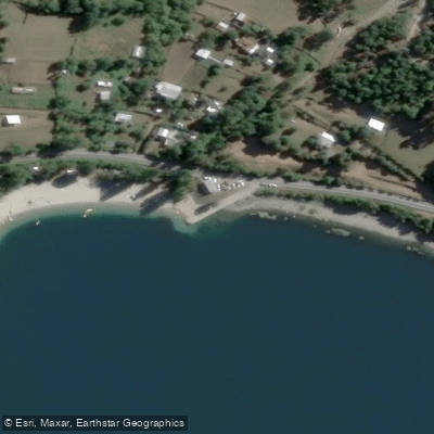
Learn how to get on Lago Maihue. Uncover great paddling access points, boat ramps, and all the facilities you need for an unforgettable day on the water. Some locations shown may border or include private property. Always check property boundaries and applicable regulations before visiting. PaddleWays's Public & Private Land layer can help you plan your access with confidence.
Paddle smarter with real-time insights
Whether you're en route and conditions shift or you're looking for the best spot based on current flows, we enable you to make informed decisions on the fly.







Los Ríos licenses and regulations
No licenses or regulations available for Los Ríos.
Find Places to Paddle

Over 400,000 Places to Paddle
Every user gets free access to launch points, boat ramps, and public property parcels.


Water and weather conditions (10 day forecast)
See the best times to paddle Lago Maihue and check the forecast before you go.
No forecast data available.
Paddling near Lago Maihue
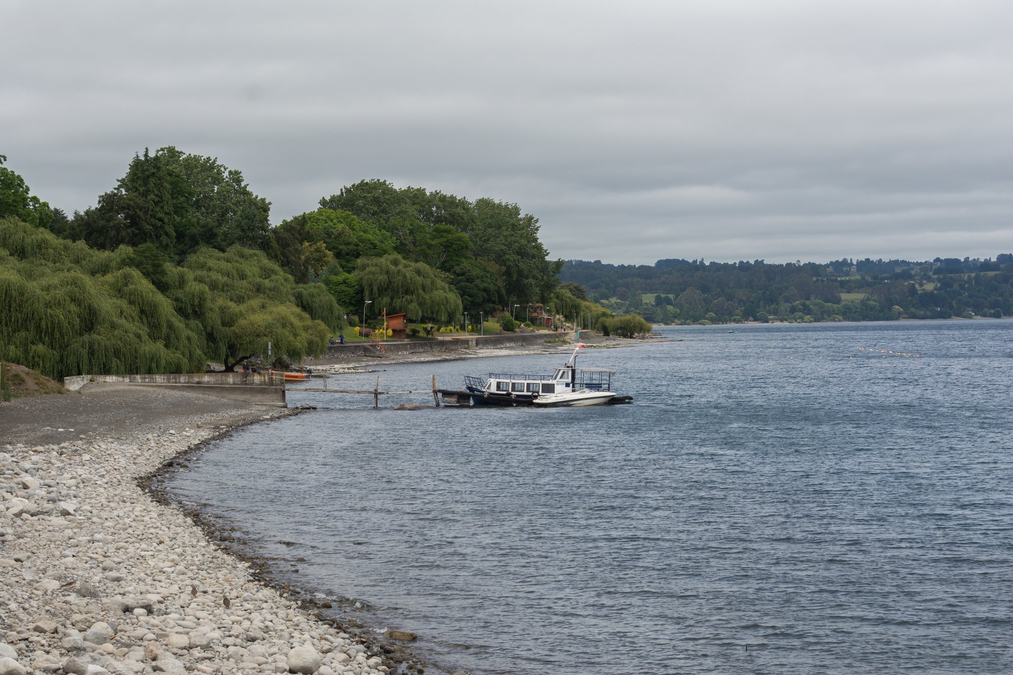
Lago Ranco
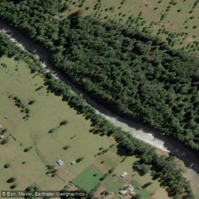
Río Nilahue
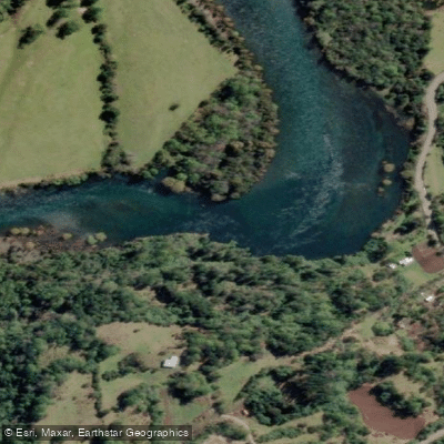
Río Calcurrupe
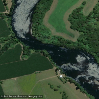
Río Bueno

Río Calle Calle
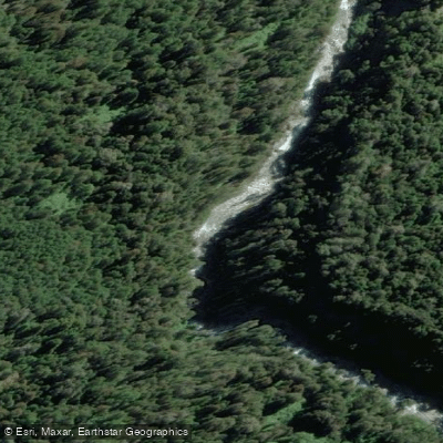
Río Fuy
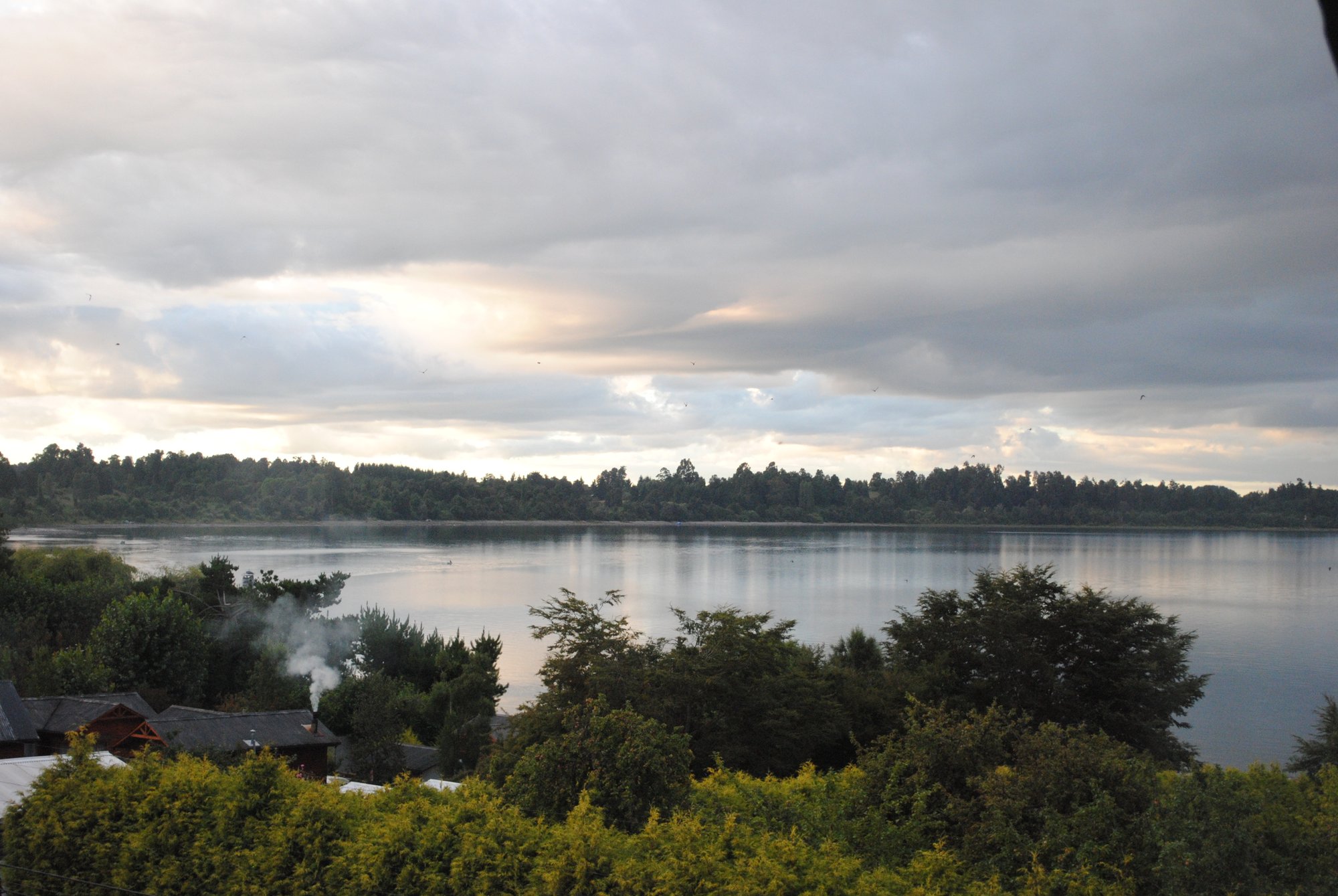
Lago Puyehue
Lago Pirihueico
Lago Calafquén
Explore Los Ríos waters
Top paddling waters
No waters available right now.
Popular Cities
Loading popular cities...
Explore near Lago Maihue
Access points
Nearby waters
More in Los Ríos

Smarter Paddling Starts in the App.
Paddleways gives you everything you need to plan smarter, paddle better, and own every trip from first launch to takeout.