Lago Ranco
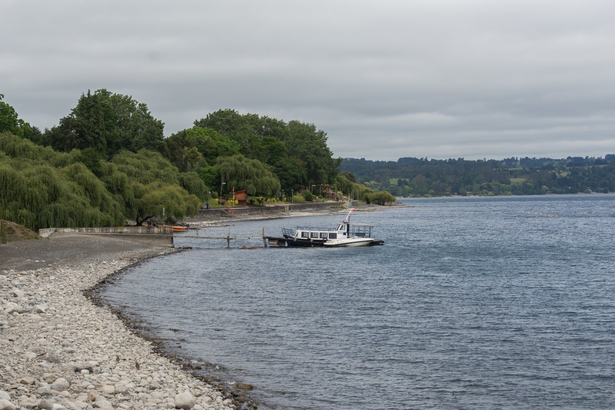
Lago Ranco
- Boat Ramps
- 1
- Access Points
- 1
- Campsites
- 9
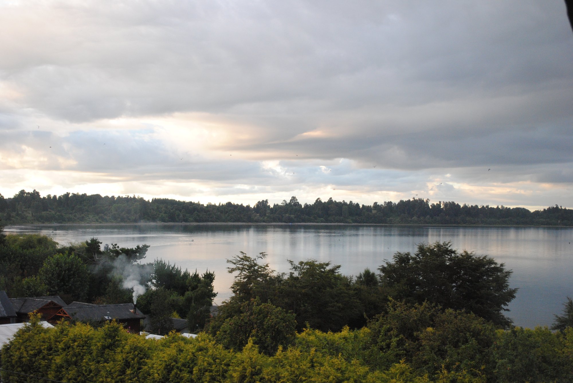
Lago Ranco is a large lake in the Ranco Province of the Los Ríos Region of southern Chile, covering approximately 443 km² and sitting at an elevation of around 69 meters above sea level, with a maximum depth of 199 meters. Its considerable size and depth give it an open, expansive character that demands respect from paddlers, particularly in changeable weather conditions typical of the southern Chilean lake district.
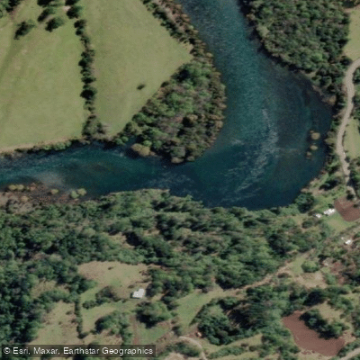
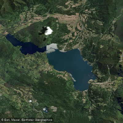
The lake sits within the broader Río Bueno watershed, a system characterized by high rainfall and strong drainage from the surrounding Andean terrain. Several rivers feed into and drain from the lake, including the Río Calcurrupe, Río Riñinahue, Río Pillanleufu, and Río Colorado, offering paddlers the option to extend trips onto connected waterways. The Río Calcurrupe in particular connects Lago Ranco to Lago Maihue, and a multi-day kayak traverse of roughly 90 kilometers has been completed by paddlers moving from Lago Maihue through the Calcurrupe drainage to the shores of Lago Ranco, taking approximately four days.
For those interested in river paddling as part of a Lago Ranco visit, the Calcurrupe River offers a 16-kilometer guided kayak route starting from the Lolles port on Lago Maihue. The river features seven or eight rapids, none exceeding Class I in difficulty, making it accessible to paddlers with modest whitewater experience. Wildlife along this corridor includes kingfishers, cranes, cormorants, and various duck species.
Access points around the lake include areas near the town of Futrono on the northern shore and the town of Lago Ranco on the southern shore. The Rininahue sector on the lake's southern side provides another access point near Parque Futangue. Several private properties around the lake offer beach access and small marinas, and kayaks are available for rent at some accommodations in the area.
The lake is well regarded for fishing, with rainbow trout and Chinook salmon being the most commonly targeted species. Nearby attractions include the waterfalls within Parque Futangue and the Saltos del Nilahue, located approximately 20 minutes by road from the lake's southern shore.
Water access, boat ramps & amenities
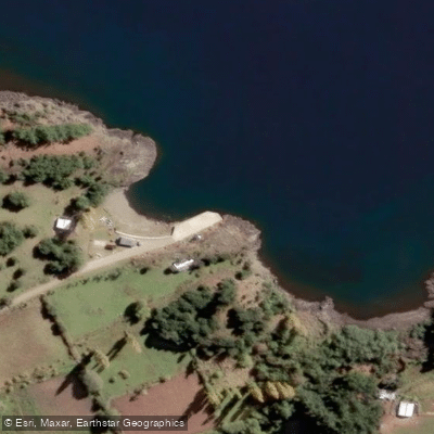
Learn how to get on Lago Ranco. Uncover great paddling access points, boat ramps, and all the facilities you need for an unforgettable day on the water. Some locations shown may border or include private property. Always check property boundaries and applicable regulations before visiting. PaddleWays's Public & Private Land layer can help you plan your access with confidence.
Paddle smarter with real-time insights
Whether you're en route and conditions shift or you're looking for the best spot based on current flows, we enable you to make informed decisions on the fly.







Los Ríos licenses and regulations
No licenses or regulations available for Los Ríos.
Find Places to Paddle

Over 400,000 Places to Paddle
Every user gets free access to launch points, boat ramps, and public property parcels.


Water and weather conditions (10 day forecast)
See the best times to paddle Lago Ranco and check the forecast before you go.
No forecast data available.
Paddling near Lago Ranco
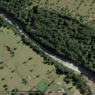
Río Nilahue
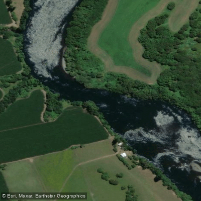
Río Bueno
Lago Puyehue
Río Calcurrupe
Río Pilmaiquén

Río Calle Calle
Río Golgol
Lago Maihue
Río Fuy
Explore Los Ríos waters
Top paddling waters
No waters available right now.
Popular Cities
Loading popular cities...
Explore near Lago Ranco
Access points
Nearby waters
More in Los Ríos

Smarter Paddling Starts in the App.
Paddleways gives you everything you need to plan smarter, paddle better, and own every trip from first launch to takeout.