Río Calcurrupe
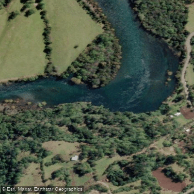
Río Calcurrupe
- Boat Ramps
- 0
- Access Points
- 0
- Campsites
- 1
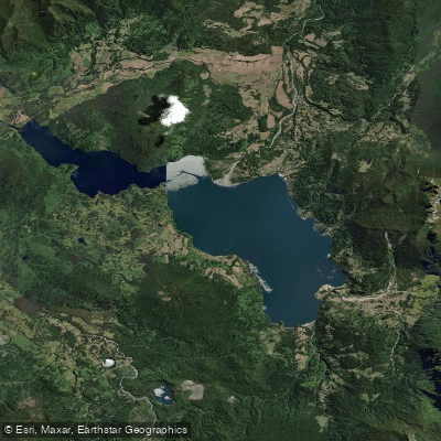
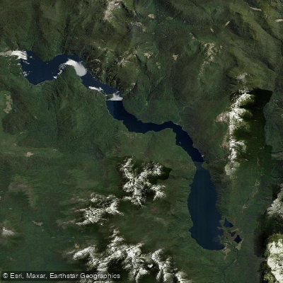
The Río Calcurrupe is a roughly 13 to 15 kilometer river in Ranco Province, Los Ríos Region of southern Chile, flowing westward from Lago Maihue to Lago Ranco, where it serves as that lake's primary tributary. Its mean discharge is estimated at 100 to 175 cubic meters per second under normal precipitation conditions, and the river is rarely narrower than 50 meters across. The name derives from the Mapudungun "Kalku-rüpü Leufü," meaning "Path of the Sorcerer." The river's course follows a valley framed by forested hills and the slopes of Monte Llifén, and it passes through temperate rainforest within a subbasin of approximately 1,564 km².
The standard paddling route begins at Puerto Los Llolles on Lago Maihue and covers approximately 14 kilometers to the river's mouth at Lago Ranco. The descent includes both calm stretches and rapids, making it accessible to a range of paddlers. Organized guided kayak trips run as full-day outings (roughly 09:00 to 17:00), and local operators also offer wooden boat and raft descents. No prior paddling experience is required for guided trips, according to local outfitters. The waters are described as crystal clear throughout the run.
Fishing regulations directly affect how paddlers interact with the river. Chile's fisheries authority SERNAPESCA has designated the Calcurrupe a catch-and-release-only zone, permitting only artificial lures with a single barbless hook. This protection was put in place to conserve populations of brown trout (fario), rainbow trout, and Chinook salmon. Paddlers should be aware that these regulations govern the river and that the area carries formal protections as part of the Biosphere Reserve of the Southern Temperate Rainforests, also designated by Chile's tourism ministry as a Zone of Tourist Interest Lago Ranco-Futrono.
Access to the put-in at Puerto Los Llolles is reached via local roads branching from Route T-350 near Futrono, approximately 22 kilometers from the town of Llifén on the northern shore of Lago Ranco. Guided kayak trips are available through local operators including Fluye Kayak Llifén and Aventura Sport. Activities are subject to cancellation in extreme weather conditions.
Water access, boat ramps & amenities
Learn how to get on Río Calcurrupe. Uncover great paddling access points, boat ramps, and all the facilities you need for an unforgettable day on the water. Some locations shown may border or include private property. Always check property boundaries and applicable regulations before visiting. PaddleWays's Public & Private Land layer can help you plan your access with confidence.
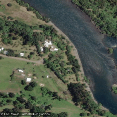
Paddle smarter with real-time insights
Whether you're en route and conditions shift or you're looking for the best spot based on current flows, we enable you to make informed decisions on the fly.







Los Ríos licenses and regulations
No licenses or regulations available for Los Ríos.
Find Places to Paddle

Over 400,000 Places to Paddle
Every user gets free access to launch points, boat ramps, and public property parcels.


Water and weather conditions (10 day forecast)
See the best times to paddle Río Calcurrupe and check the forecast before you go.
Rio Calcurrupe En Desembocadura
Paddling near Río Calcurrupe
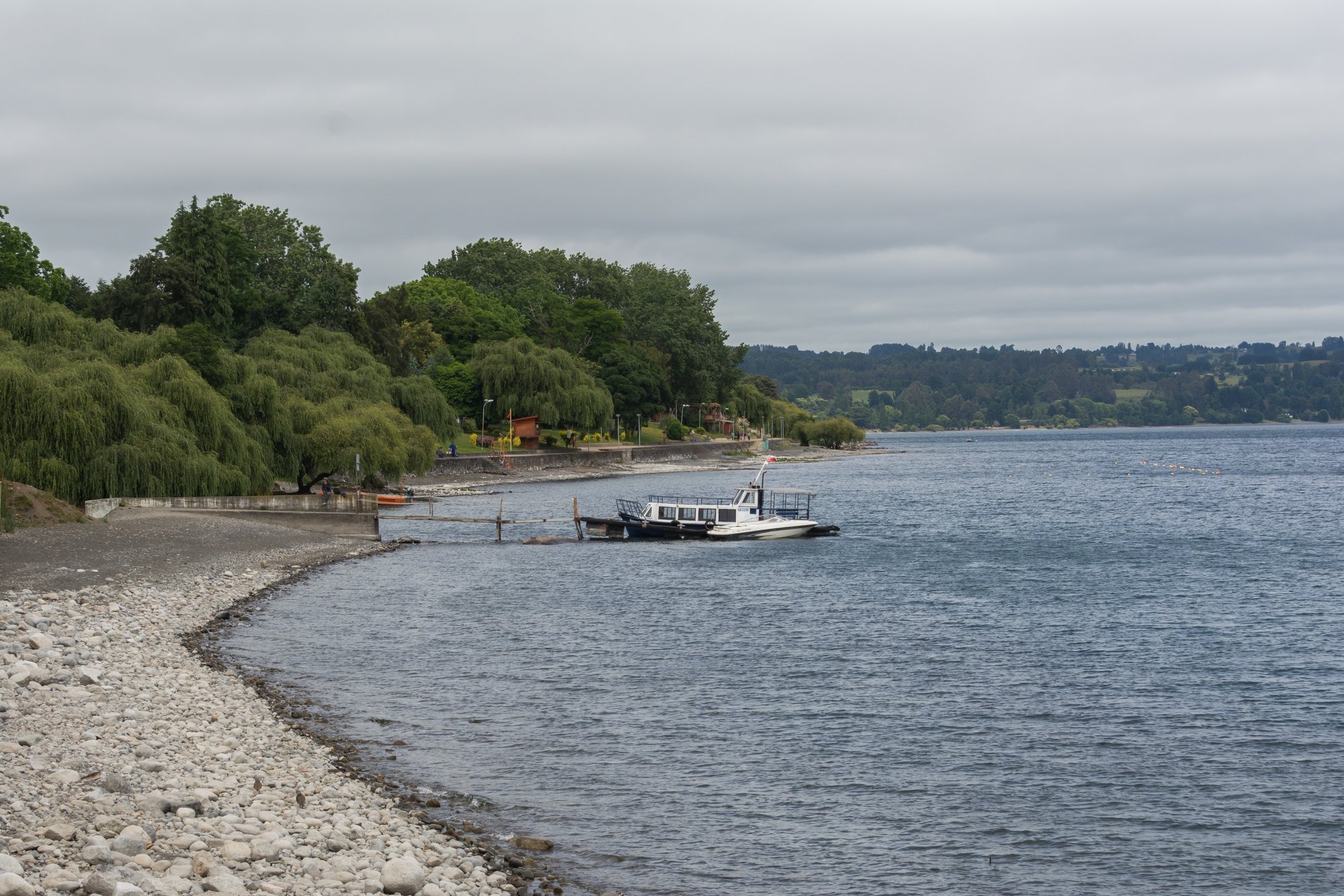
Lago Ranco
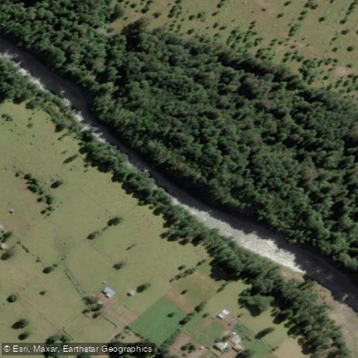
Río Nilahue
Río Bueno

Río Calle Calle
Río Fuy
Lago Maihue
Lago Puyehue
Lago Pirihueico
Lago Calafquén
Explore Los Ríos waters
Top paddling waters
No waters available right now.
Popular Cities
Loading popular cities...
Explore near Río Calcurrupe
Access points
Nearby waters
More in Los Ríos

Smarter Paddling Starts in the App.
Paddleways gives you everything you need to plan smarter, paddle better, and own every trip from first launch to takeout.