Río Cau Cau
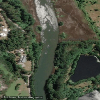
Río Cau Cau
- Boat Ramps
- 0
- Access Points
- 0
- Campsites
- 0
The Río Cau Cau flows through Valdivia in the Los Ríos region, running alongside the Universidad Austral de Chile's botanical garden and bordering Isla Teja. The river is subject to tidal influence, producing alternating currents that reverse direction depending on the tide. Paddlers should be aware that the current encountered heading in one direction will typically be running opposite on the return leg, and this reversal becomes particularly noticeable where the Río Cau Cau meets the Río Cruces.
A commonly paddled route follows the perimeter of Isla Teja, combining the Río Cau Cau with the Río Cruces. This circuit requires paddlers to work against the current at some point during the trip, with the direction of effort depending on tidal timing. The river's banks feature distinctive riparian vegetation and active birdlife throughout the route.
Paddlers should be aware of a significant regulatory consideration: the Chilean Navy (Armada de Chile) has classified the Río Cau Cau as a restricted zone under Ordinario 12.400, citing safety concerns. Anyone planning to paddle here should consult current Armada regulations and confirm whether access is permitted before launching. There is a viewpoint (Mirador Río y Puente Cau Cau) accessible by foot near the river's bridge, which may serve as a useful reference point for orientation.
Water access, boat ramps & amenities
Learn how to get on Río Cau Cau. Uncover great paddling access points, boat ramps, and all the facilities you need for an unforgettable day on the water. Some locations shown may border or include private property. Always check property boundaries and applicable regulations before visiting. PaddleWays's Public & Private Land layer can help you plan your access with confidence.
Paddle smarter with real-time insights
Whether you're en route and conditions shift or you're looking for the best spot based on current flows, we enable you to make informed decisions on the fly.







Los Ríos licenses and regulations
No licenses or regulations available for Los Ríos.
Find Places to Paddle

Over 400,000 Places to Paddle
Every user gets free access to launch points, boat ramps, and public property parcels.


Water and weather conditions (10 day forecast)
See the best times to paddle Río Cau Cau and check the forecast before you go.
No forecast data available.
Paddling near Río Cau Cau
Río Valdivia

Río Calle Calle
Playa Curiñanco
Río Chaihuín
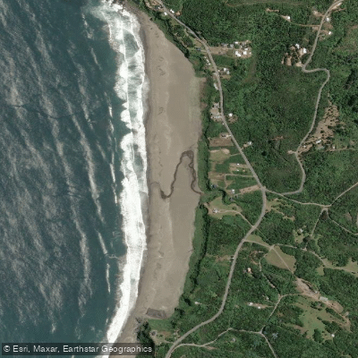
Playa Calfuco
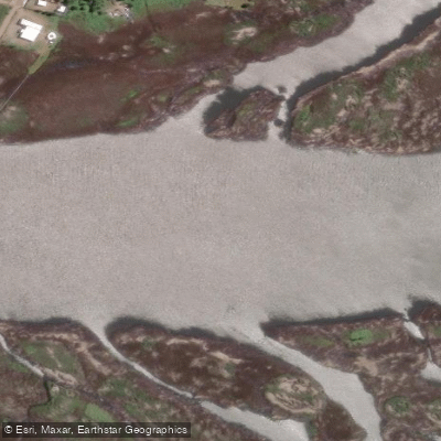
Río Angachilla
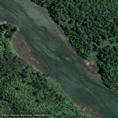
Río Cutipay
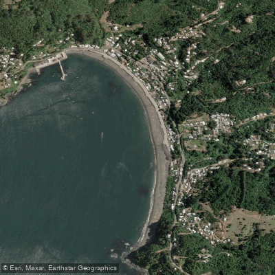
Playa Los Molinos

Río Toltén
Explore Los Ríos waters
Top paddling waters
No waters available right now.
Popular Cities
Loading popular cities...
Explore near Río Cau Cau
Access points
Nearby waters
More in Los Ríos

Smarter Paddling Starts in the App.
Paddleways gives you everything you need to plan smarter, paddle better, and own every trip from first launch to takeout.