Río Cutipay
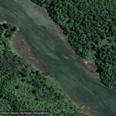
Río Cutipay
- Boat Ramps
- 0
- Access Points
- 0
- Campsites
- 0
The Río Cutipay is a tidal river in the municipality of Valdivia, Los Ríos Region, southern Chile. It is often described as an inlet of the Río Valdivia rather than a conventional river, and its water flow reverses twice daily in response to tidal influence from the Río Valdivia. The river originates from the confluence of the estero Lliuco and the Río Negro, and drains into the Río Valdivia estuary, which ultimately empties into the Pacific Ocean at the Bahía de Corral. The northern section of the river is home to a small artisan shipyard with a tradition of constructing wooden boats.
The river flows through the Santuario de la Naturaleza Humedal de Cutipay, a protected wetland of approximately 170.8 hectares. The wetland combines estuarine (saline-influenced) and freshwater environments, including riparian and seasonally flooded zones. Near the river mouth, vegetation tolerant of salinity and high humidity predominates, including junco, totora, and botón de oro. Further upstream, the freshwater wetland supports hualve-type swamp forests dominated by myrtle-family species such as temu and pitra, alongside evergreen coastal forest species including foye, notro, pelu, triwe, arrayán, coigüe, and various ferns.
Wildlife within the sanctuary is notable in both diversity and conservation significance. The area supports approximately 76 bird species, including resident and migratory populations of herons, cormorants, ducks, grebes, the martín pescador, and the siete colores. Mammals include the huillín (river otter) and coipo. Around 17 native fish species with high endemism are also recorded, along with reptiles and amphibians, all of which carry some conservation classification.
Guided kayak tours operate on the river, with one established route — the Ruta Canelo — covering 12 kilometers round-trip and typically taking around 7 hours. This route begins at the river mouth and proceeds upstream to its headwaters, continuing into the estero Pichauka, one of the tributary streams. A stop for a meal and a walk through native forest is included in guided versions of this trip. Stand-up paddleboard crossings are also offered commercially on the river. Access to the river is from Camino a Niebla, km 8, approximately 8 kilometers from Valdivia, reachable by public bus toward Niebla; paddlers disembark at the Puente Cutipay stop. Kayak rental without a guide is available at the river.
Water access, boat ramps & amenities
Learn how to get on Río Cutipay. Uncover great paddling access points, boat ramps, and all the facilities you need for an unforgettable day on the water. Some locations shown may border or include private property. Always check property boundaries and applicable regulations before visiting. PaddleWays's Public & Private Land layer can help you plan your access with confidence.
Paddle smarter with real-time insights
Whether you're en route and conditions shift or you're looking for the best spot based on current flows, we enable you to make informed decisions on the fly.







Los Ríos licenses and regulations
No licenses or regulations available for Los Ríos.
Find Places to Paddle

Over 400,000 Places to Paddle
Every user gets free access to launch points, boat ramps, and public property parcels.


Water and weather conditions (10 day forecast)
See the best times to paddle Río Cutipay and check the forecast before you go.
No forecast data available.
Paddling near Río Cutipay
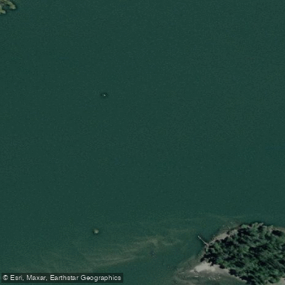
Río Valdivia

Río Calle Calle
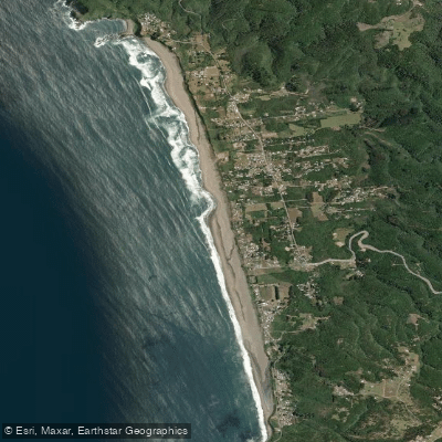
Playa Curiñanco

Río Chaihuín
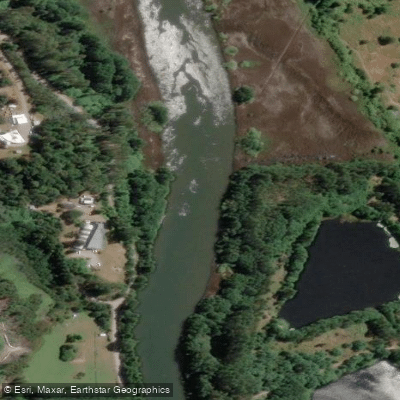
Río Cau Cau
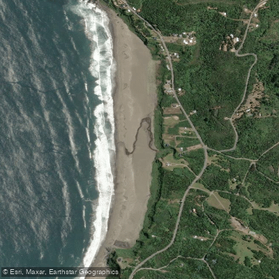
Playa Calfuco
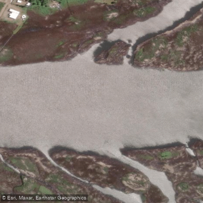
Río Angachilla
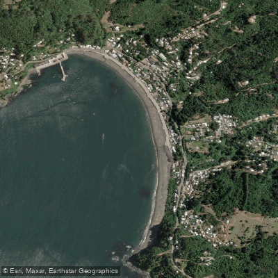
Playa Los Molinos

Río Toltén
Explore Los Ríos waters
Top paddling waters
No waters available right now.
Popular Cities
Loading popular cities...
Explore near Río Cutipay
Access points
Nearby waters
More in Los Ríos

Smarter Paddling Starts in the App.
Paddleways gives you everything you need to plan smarter, paddle better, and own every trip from first launch to takeout.