Río Nilahue
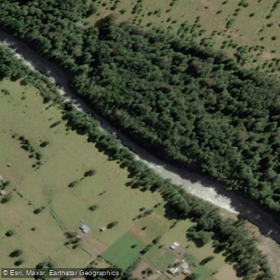
Río Nilahue
- Boat Ramps
- 0
- Access Points
- 0
- Campsites
- 2
The Río Nilahue originates on the slopes of the Cordón Caulle volcanic complex in the Los Ríos Region of southern Chile and flows more than 40 kilometers before discharging into Lago Ranco, of which it is the second largest tributary after the Calcurrupe River. The upper southern section runs approximately 20 kilometers in a north-south direction along the Liquiñe-Ofqui Fault through a tectono-glacial valley, while the lower northern portion covers another 20 kilometers from the Carrán maar to Lago Ranco. The river's catchment receives water from both rainfall and snowmelt off the Cordón Caulle plateau.
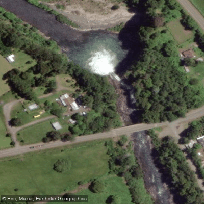
The most significant whitewater feature on the river is the Salto del Nilahue, a class 5 waterfall located in the commune of Lago Ranco, roughly 37 kilometers from Futrono via the Ruta Interlagos. The falls consist of a sloping ramp in the right channel, described as approximately 60 feet. The geology of the falls has changed over time — an earlier configuration featured a 50-plus-foot boof in the left channel dropping onto a shelf that has since collapsed. The current right-channel line is considered safer at lower water levels, though at higher flows an undercut wall on river left at the base becomes a serious hazard. The documented put-in for running the falls is a small eddy on river right directly above the drop. The falls were first descended by LJ Groth and Trip Jennings prior to the geological change.
Paddlers should be aware that the 2011 eruption of Puyehue contaminated the river with volcanic ash, killing an estimated 4.5 million fish and causing the river to overflow its banks. While this event occurred in 2011, it is relevant historical context for understanding the river's ecosystem and the potential for volcanic activity in the area given its proximity to the Puyehue-Cordón Caulle volcanic complex.
Parque Saltos del Nilahue, which encompasses the waterfall area, provides basic visitor infrastructure including parking and restrooms, and is open daily from 9:00 AM to 6:00 PM with a general entry fee of CLP 2,000 (as of 2024).
Water access, boat ramps & amenities
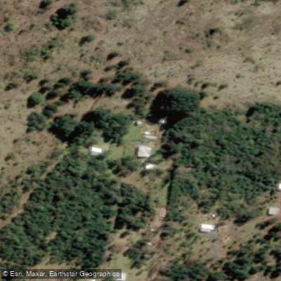
Learn how to get on Río Nilahue. Uncover great paddling access points, boat ramps, and all the facilities you need for an unforgettable day on the water. Some locations shown may border or include private property. Always check property boundaries and applicable regulations before visiting. PaddleWays's Public & Private Land layer can help you plan your access with confidence.
Paddle smarter with real-time insights
Whether you're en route and conditions shift or you're looking for the best spot based on current flows, we enable you to make informed decisions on the fly.







Los Ríos licenses and regulations
No licenses or regulations available for Los Ríos.
Find Places to Paddle

Over 400,000 Places to Paddle
Every user gets free access to launch points, boat ramps, and public property parcels.


Water and weather conditions (10 day forecast)
See the best times to paddle Río Nilahue and check the forecast before you go.
Rio Nilahue En Mayay
Paddling near Río Nilahue
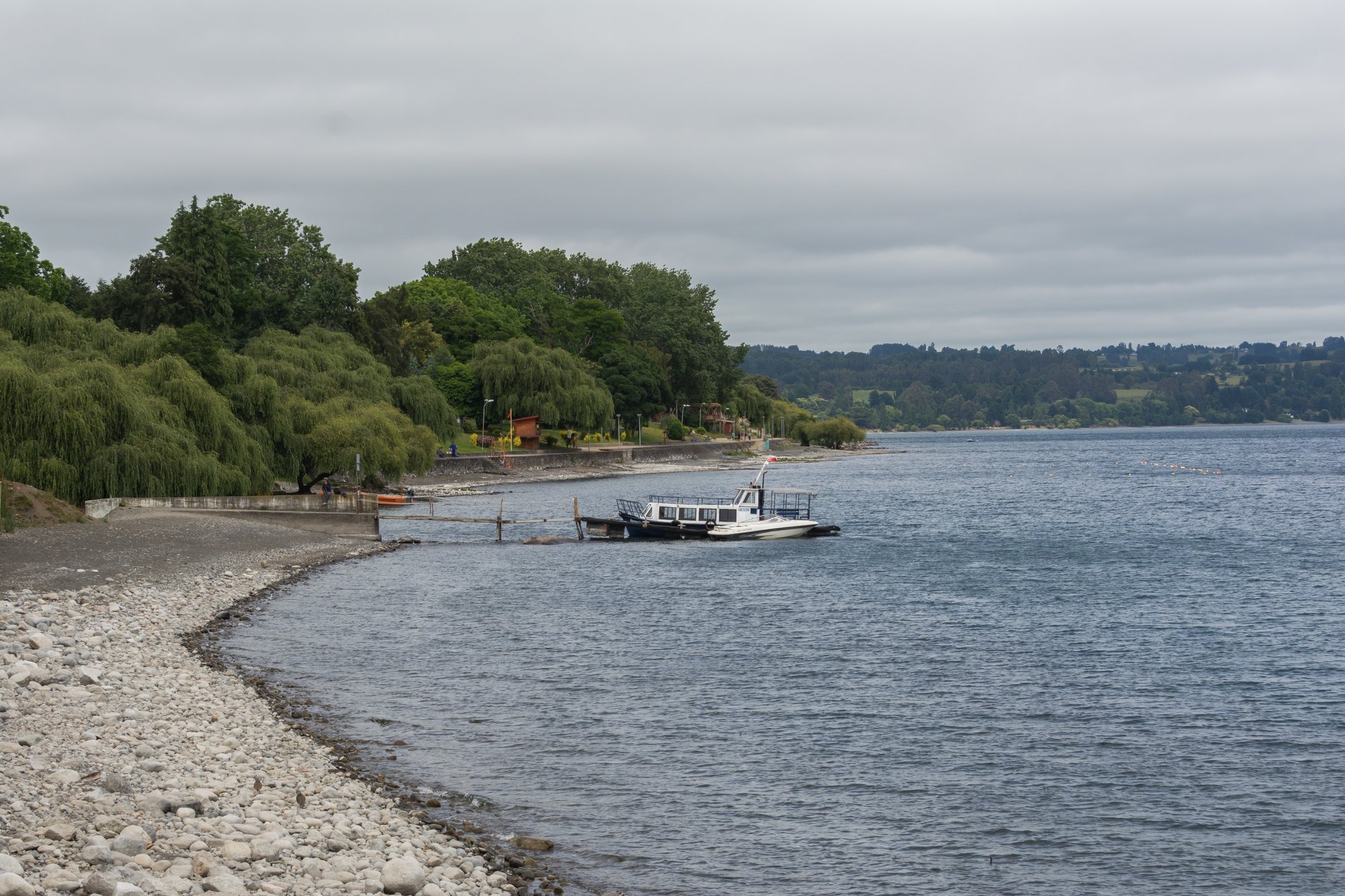
Lago Ranco
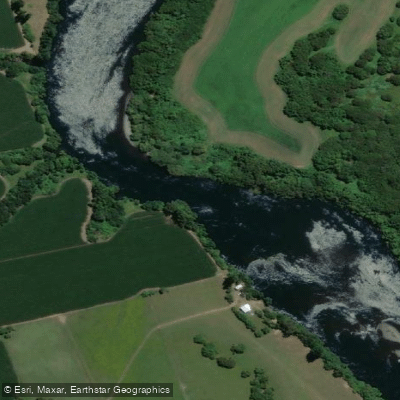
Río Bueno
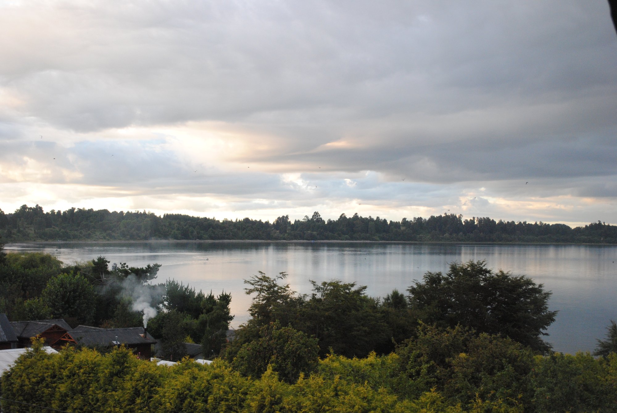
Lago Puyehue
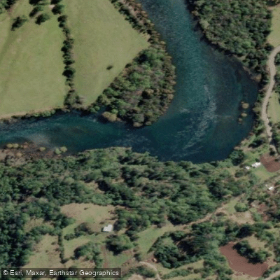
Río Calcurrupe
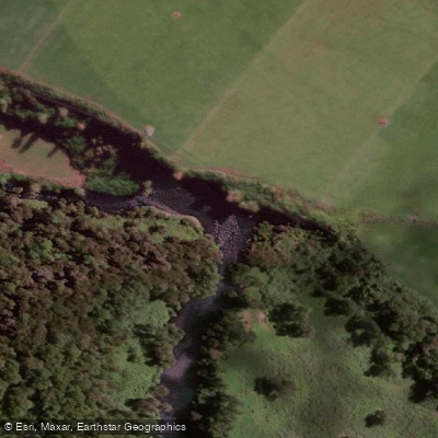
Río Pilmaiquén

Río Calle Calle
Río Golgol
Lago Maihue
Río Fuy
Explore Los Ríos waters
Top paddling waters
No waters available right now.
Popular Cities
Loading popular cities...
Explore near Río Nilahue

Smarter Paddling Starts in the App.
Paddleways gives you everything you need to plan smarter, paddle better, and own every trip from first launch to takeout.