Río Valdivia
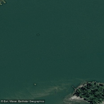
Río Valdivia
- Boat Ramps
- 0
- Access Points
- 7
- Campsites
- 1
The Río Valdivia flows through the city of Valdivia in the Los Ríos region of southern Chile, forming part of a broader river system that includes the Río Calle Calle. Near the city, the river takes on an estuarine character, widening as it moves toward the coast and the towns of Niebla and Corral. The river passes Islote Haverbeck, a small islet located at the confluence of the Río Calle Calle and Río Valdivia, which serves as a notable landmark and stopping point on paddling routes in the area.
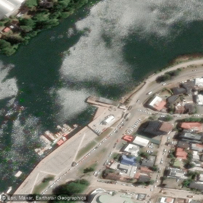
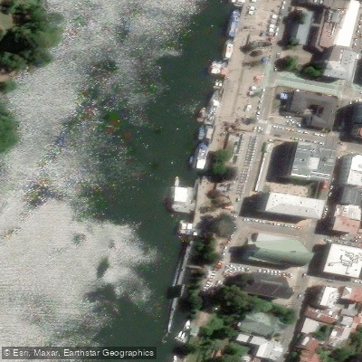
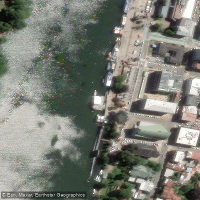
Organized SUP and kayak tours operate on the river, with at least one operator departing from Gral Lagos 1221 in central Valdivia. These tours typically follow a route along the Río Calle Calle and Río Valdivia, circling Islote Haverbeck and making a brief stop at the islet before returning to the launch point. Independent paddlers can also access the river from the dock area near the downtown market. Sunset tours are offered, suggesting the evening hours are a viable and popular time to paddle.
The Río Vivo outfitter, based a short distance from Valdivia, offers day-long and multi-day kayak excursions focused on the estuary of the Río Valdivia and surrounding wetlands, providing an option for those interested in exploring beyond the immediate city reach.
Valdivia itself is a university city with good transport connections to other parts of southern Chile, making it a practical base for paddling trips. Boat traffic is present on the river, as watercraft have historically been and continue to be a common form of transportation between riverside towns, which is a relevant consideration for paddlers sharing the water.
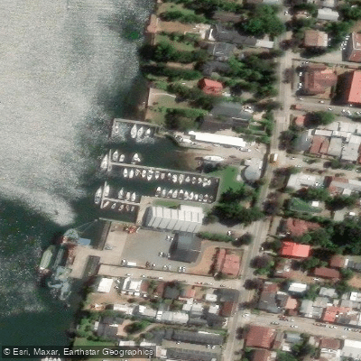
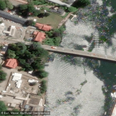
Water access, boat ramps & amenities
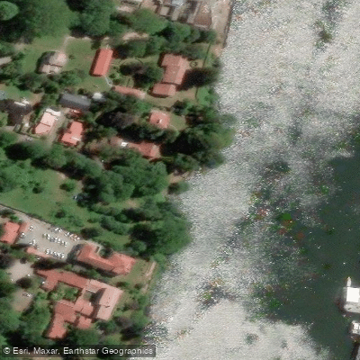
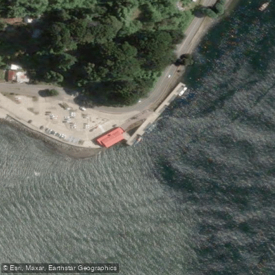
Learn how to get on Río Valdivia. Uncover great paddling access points, boat ramps, and all the facilities you need for an unforgettable day on the water. Some locations shown may border or include private property. Always check property boundaries and applicable regulations before visiting. PaddleWays's Public & Private Land layer can help you plan your access with confidence.
Paddle smarter with real-time insights
Whether you're en route and conditions shift or you're looking for the best spot based on current flows, we enable you to make informed decisions on the fly.







Los Ríos licenses and regulations
No licenses or regulations available for Los Ríos.
Find Places to Paddle

Over 400,000 Places to Paddle
Every user gets free access to launch points, boat ramps, and public property parcels.


Water and weather conditions (10 day forecast)
See the best times to paddle Río Valdivia and check the forecast before you go.
No forecast data available.
Paddling near Río Valdivia

Río Calle Calle
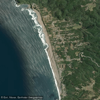
Playa Curiñanco
Río Chaihuín
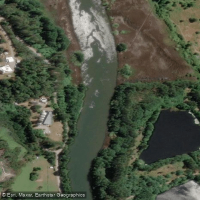
Río Cau Cau
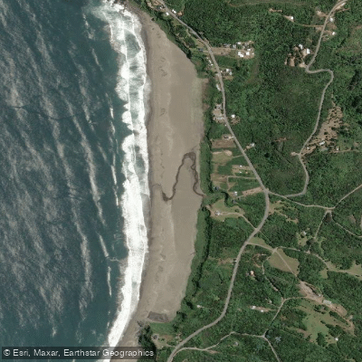
Playa Calfuco
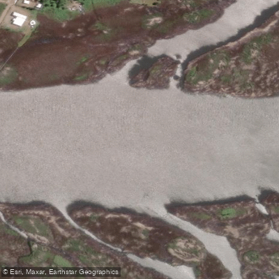
Río Angachilla
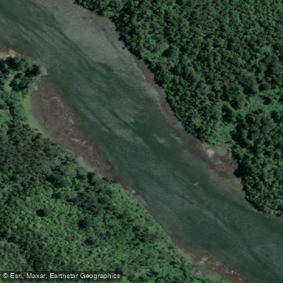
Río Cutipay
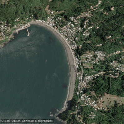
Playa Los Molinos

Río Toltén
Explore Los Ríos waters
Top paddling waters
No waters available right now.
Popular Cities
Loading popular cities...
Explore near Río Valdivia
Access points
Nearby waters
More in Los Ríos

Smarter Paddling Starts in the App.
Paddleways gives you everything you need to plan smarter, paddle better, and own every trip from first launch to takeout.