Río Llancahue
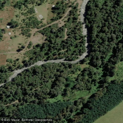
Río Llancahue
- Boat Ramps
- 0
- Access Points
- 0
- Campsites
- 0
The Río Llancahue is a whitewater river in the Panguipulli commune of Los Ríos Region, draining Pellaifa Lake and flowing westward into Calafquén Lake. It originates from the southern flanks of Volcán Villarrica (2,840 meters) and Volcán Quetrupillán (2,360 meters), and the river's name is pronounced "Yan-Cow-Weh." The river is located directly south of Pucon on the opposite side of the volcano, roughly an hour's drive from Pucon. Despite its proximity to the Río Palguin as the crow flies, the volcano and rough four-wheel-drive roads between them mean access typically requires going the long way around the volcano.
The upper section is characterized by a notable waterfall near the put-in — a clean 18-to-20-foot drop rated Class IV- to IV+. This feature, known as Llancahue Falls, has an auto-boof line left of center with a pool below, and offers good safety positions both above and below. Paddlers are advised to scout from the left eddy at the top. Below the falls, a couple of easy rapids lead into tighter terrain featuring multi-move rapids in narrow, walled mini-gorges and several small vertical drops. The final rapid, approximately 100 yards above the take-out, is considered a significant hazard — one documented run resulted in a swimmer recirculating three times in the hydraulic. Paddlers should scout this feature carefully before committing.
The lower section carries a reputation as arguably the most demanding steep creek run in Chile, requiring Class 5+ skills with exceptional eddy-catching ability. Flow assessment at the put-in can be made by observing the lip of a feature called Gerd's Drop: if water is spilling over a right channel at the lip, the river is likely too high to run safely.
The upper run is considered a classic by visiting paddlers and has been used as a warm-up run alongside the Río Fuy. The scenery is shaped by the volcanic landscape, and paddlers on the upper section have noted the opportunity to paddle behind the main waterfall. The river is part of the broader Valdivia River Basin.
Water access, boat ramps & amenities
Learn how to get on Río Llancahue. Uncover great paddling access points, boat ramps, and all the facilities you need for an unforgettable day on the water. Some locations shown may border or include private property. Always check property boundaries and applicable regulations before visiting. PaddleWays's Public & Private Land layer can help you plan your access with confidence.
Paddle smarter with real-time insights
Whether you're en route and conditions shift or you're looking for the best spot based on current flows, we enable you to make informed decisions on the fly.







Los Ríos licenses and regulations
No licenses or regulations available for Los Ríos.
Find Places to Paddle

Over 400,000 Places to Paddle
Every user gets free access to launch points, boat ramps, and public property parcels.


Water and weather conditions (10 day forecast)
See the best times to paddle Río Llancahue and check the forecast before you go.
No forecast data available.
Paddling near Río Llancahue
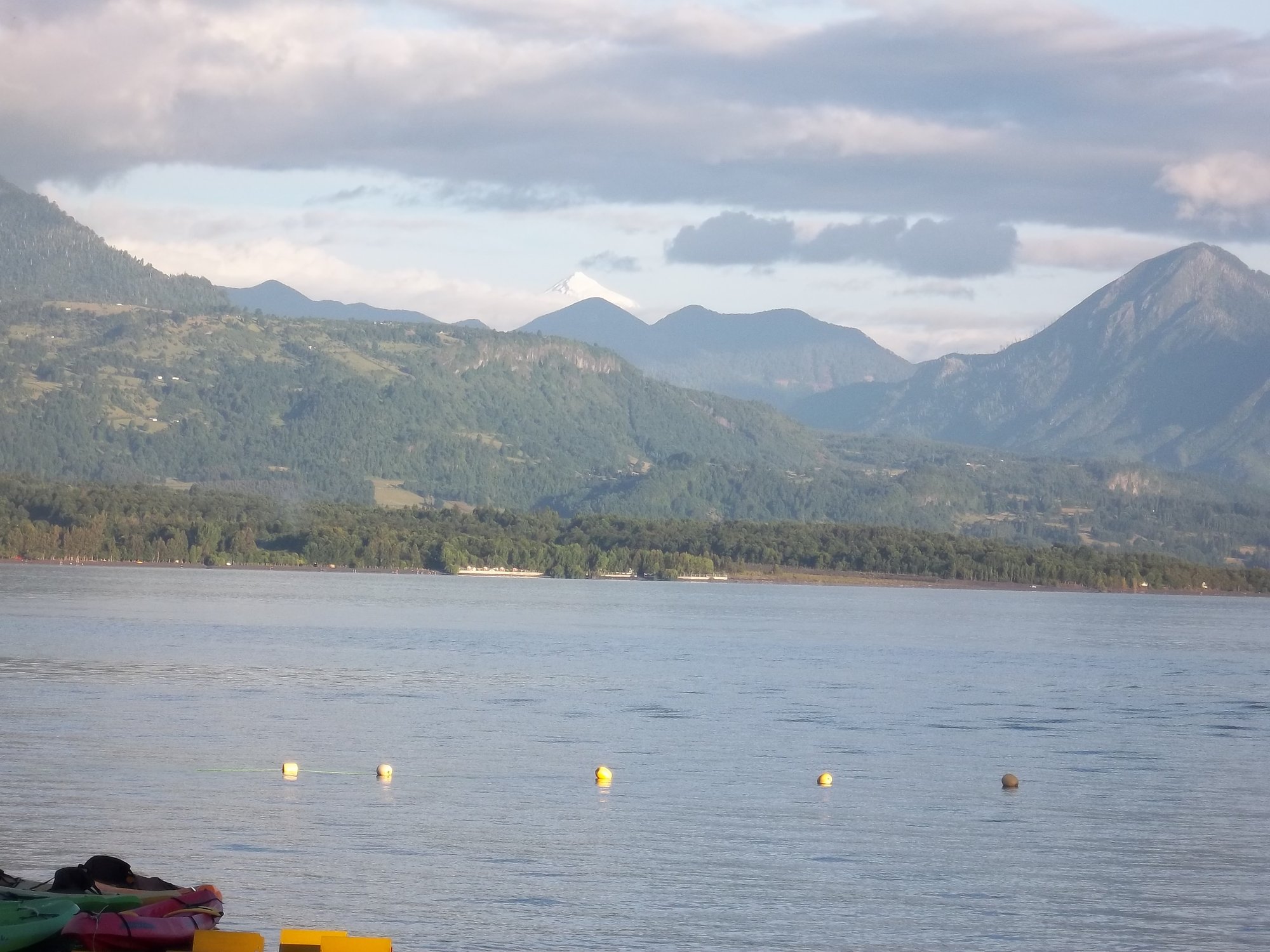
Lago Calafquén
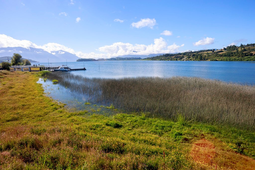
Lago Panguipulli
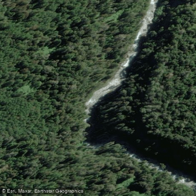
Río Fuy
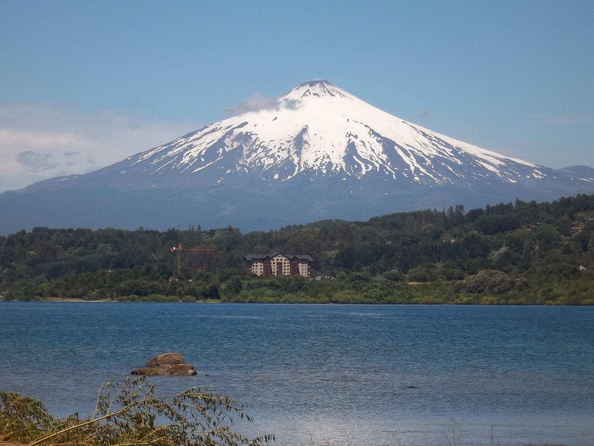
Lago Villarrica

Río Toltén

Río Calle Calle
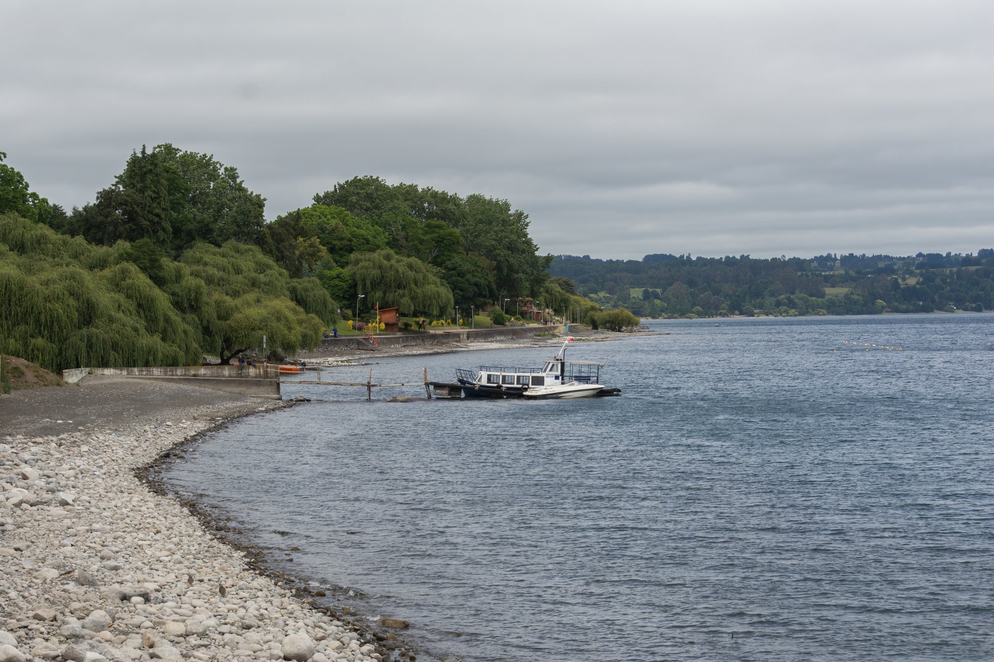
Lago Ranco
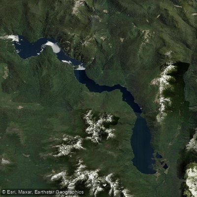
Lago Pirihueico
Río San Pedro
Explore Los Ríos waters
Top paddling waters
No waters available right now.
Popular Cities
Loading popular cities...
Explore near Río Llancahue
Access points
Nearby waters
More in Los Ríos

Smarter Paddling Starts in the App.
Paddleways gives you everything you need to plan smarter, paddle better, and own every trip from first launch to takeout.