Lago del Toro
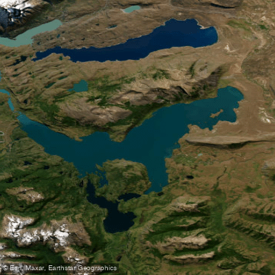
Lago del Toro
- Boat Ramps
- 0
- Access Points
- 0
- Campsites
- 0
Lago del Toro sits in the Magallanes Region of southern Chile, within the Torres del Paine area, and is one of the more demanding lakes in Patagonia for paddlers. Its name — meaning "Lake Bull" — reflects its reputation for violent conditions: the lake is oriented along a roughly 30-kilometer axis that aligns with the prevailing winds, and this long fetch allows swells to build to approximately 4 meters. Locals have long described the lake as one that is "angry a lot," and this characterization should be taken seriously by anyone considering time on the water. The combination of sustained high winds and open exposure across such a large surface makes Lago del Toro a genuinely hazardous environment, and paddlers should treat it with the same caution appropriate to open coastal water.
The Río Paine flows into the lake, and the point where the river meets the lake can be viewed from the Mirador del Lago Toro, reached via a 14.3-kilometer loop trail that begins near the Weber Bridge. This trail, rated as difficult and typically taking around four and a half hours, also passes through forest with low vegetation and visits several nearby lagoons including Lakal Lagoon, Laguna Honda, and Deer Lagoon. The best period for visiting the area is generally October through March, corresponding to the Southern Hemisphere spring and summer.
Bahía el Bote offers camping and fishing facilities on the lake, representing one of the few documented amenities directly on the water. The nearby Sierra del Toro provides a prominent geographical reference point. Given the lake's location within or adjacent to Torres del Paine National Park, paddlers should verify any applicable park regulations before launching.
Water access, boat ramps & amenities
Learn how to get on Lago del Toro. Uncover great paddling access points, boat ramps, and all the facilities you need for an unforgettable day on the water. Some locations shown may border or include private property. Always check property boundaries and applicable regulations before visiting. PaddleWays's Public & Private Land layer can help you plan your access with confidence.
Paddle smarter with real-time insights
Whether you're en route and conditions shift or you're looking for the best spot based on current flows, we enable you to make informed decisions on the fly.







Magallanes licenses and regulations
No licenses or regulations available for Magallanes.
Find Places to Paddle

Over 400,000 Places to Paddle
Every user gets free access to launch points, boat ramps, and public property parcels.


Water and weather conditions (10 day forecast)
See the best times to paddle Lago del Toro and check the forecast before you go.
Rio Serrano En Desague Lago Del Toro
Paddling near Lago del Toro
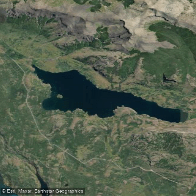
Lago Sofía
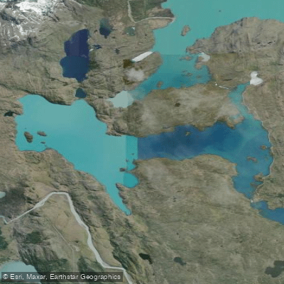
Lago Pehoé
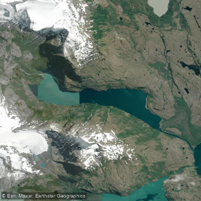
Laguna Azul
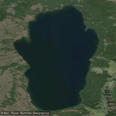
Lago Aníbal Pinto
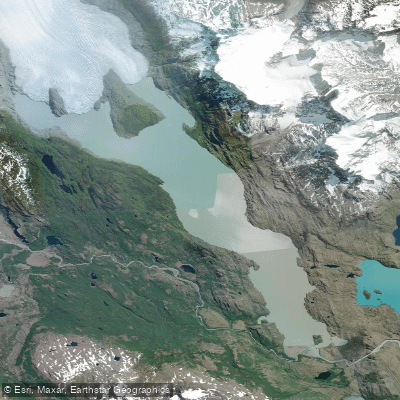
Lago Grey
Río Serrano
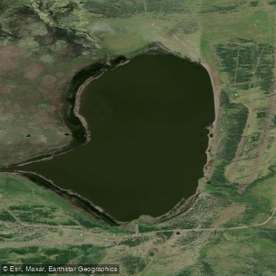
Laguna Escondida
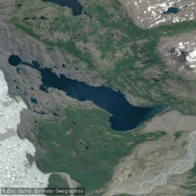
Lago Tyndall
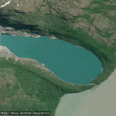
Laguna Serrano
Explore Magallanes waters
Top paddling waters
No waters available right now.
Popular Cities
Loading popular cities...
Explore near Lago del Toro

Smarter Paddling Starts in the App.
Paddleways gives you everything you need to plan smarter, paddle better, and own every trip from first launch to takeout.