Lago Pehoé
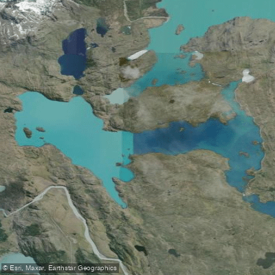
Lago Pehoé
- Boat Ramps
- 0
- Access Points
- 2
- Campsites
- 4
Lago Pehoé is a surface water body covering approximately 22 square kilometers (8.5 square miles), located within Torres del Paine National Park in the Magallanes Region of southern Chile, at coordinates 51°06′S 73°04′W. The lake is fed primarily by the Paine River, which carries water through Lago Nordenskjöld before entering Pehoé. It also receives outflow from Skottsberg Lake. The Paine River's upper reaches, including the Salto Grande waterfall, form part of the lake's broader watershed, an area that supports diverse flora and fauna, including wild guanaco.
The lake is navigable by boat, and a passenger ferry service operates on the water, with a crossing of roughly 35 minutes connecting to Pudeto. This boat service functions as a practical access point for hikers heading to various trails within the park, making the lake an important transit corridor as well as a destination in its own right.
The visual setting is defined by the dramatic backdrop of the Cuernos del Paine, the distinctive horned peaks that rise above the lake's shoreline and are frequently photographed from the water's edge. The combination of glacially influenced water, surrounding steppe and subpolar vegetation, and the proximity of major Patagonian peaks gives the lake a stark, open character typical of the region.
Torres del Paine National Park, in which the lake sits, is a managed protected area, and paddlers should anticipate that access and activities on the lake are subject to park regulations. The park is accessible from Puerto Natales and from Punta Arenas, both of which serve as common staging points for visits to the area. Given the park's location in Chilean Patagonia at roughly 51 degrees south latitude, weather conditions can be severe and highly variable, with strong winds being a consistent feature of the region. Paddlers planning a trip to Lago Pehoé should factor in the remote location, the potential for rapidly changing conditions, and the need to comply with any restrictions imposed by park administration.
Water access, boat ramps & amenities
Learn how to get on Lago Pehoé. Uncover great paddling access points, boat ramps, and all the facilities you need for an unforgettable day on the water. Some locations shown may border or include private property. Always check property boundaries and applicable regulations before visiting. PaddleWays's Public & Private Land layer can help you plan your access with confidence.
Paddle smarter with real-time insights
Whether you're en route and conditions shift or you're looking for the best spot based on current flows, we enable you to make informed decisions on the fly.







Magallanes licenses and regulations
No licenses or regulations available for Magallanes.
Find Places to Paddle

Over 400,000 Places to Paddle
Every user gets free access to launch points, boat ramps, and public property parcels.


Water and weather conditions (10 day forecast)
See the best times to paddle Lago Pehoé and check the forecast before you go.
No forecast data available.
Paddling near Lago Pehoé
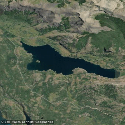
Lago Sofía
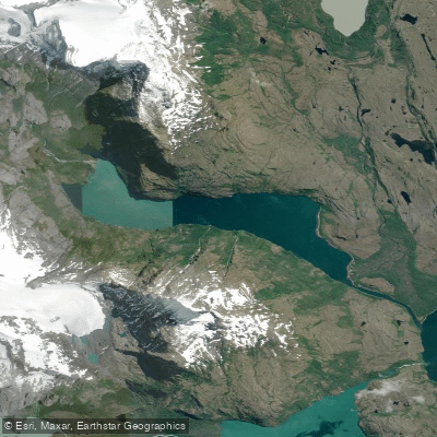
Laguna Azul
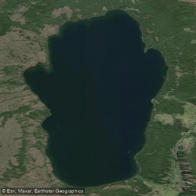
Lago Aníbal Pinto
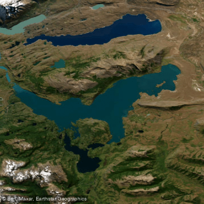
Lago del Toro
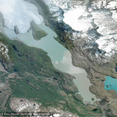
Lago Grey
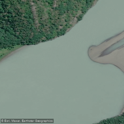
Río Serrano
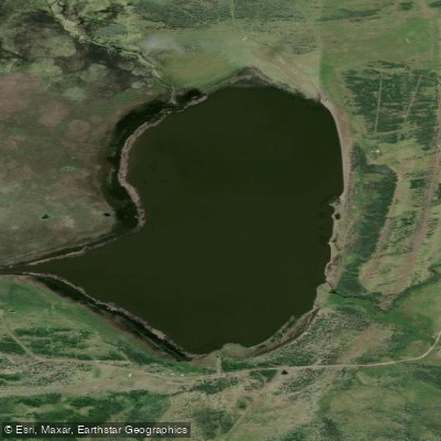
Laguna Escondida
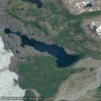
Lago Tyndall
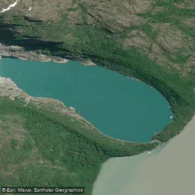
Laguna Serrano
Explore Magallanes waters
Top paddling waters
No waters available right now.
Popular Cities
Loading popular cities...
Explore near Lago Pehoé
Access points
Nearby waters
More in Magallanes

Smarter Paddling Starts in the App.
Paddleways gives you everything you need to plan smarter, paddle better, and own every trip from first launch to takeout.