Lago Tyndall
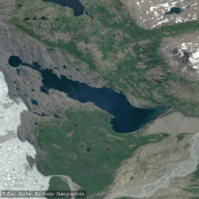
Lago Tyndall
- Boat Ramps
- 0
- Access Points
- 0
- Campsites
- 0
Lago Tyndall is a remote glacial lake located within Torres del Paine National Park in the Magallanes region of Chilean Patagonia. The lake sits approximately 5 km across and is bordered by the Southern Patagonian Ice Field, with Glaciar Tyndall and the Geike Range forming a dramatic backdrop. Access to the lake is not straightforward — it is reached by paddling downstream along the Río Serrano from the Torres del Paine area, then turning upstream along the Río Tyndall for roughly 4 km. Portions of the Río Tyndall are too shallow or swift to paddle, requiring lining (towing the kayak upstream on foot). The lake can only be reached by this water route, making it genuinely inaccessible by road or trail.
The crossing of the lake itself is approximately 5 km. From the lake, paddlers can approach the face of Glaciar Tyndall and the Southern Patagonian Ice Field, and there is at least one small bay where kayakers can land and hike to view the glacier on foot. A significant hazard is floating ice: at times the lake can be blocked by ice pieces calved from the glacier, making paddling impossible. Wind is a persistent factor throughout Patagonia and should be expected on the lake.
The Río Serrano leg of the approach involves a portage of approximately 100 meters around a waterfall. The river corridor passes through native Coigue and Cypress forest, with views of the Paine massif and Glaciar Tyndall along the way. Camping on the shores of Lago Tyndall is done at a wild campsite with no permanent facilities other than a portable toilet provided by guided operators. The area sees essentially no other visitors, and the route is typically run as part of a multi-day guided kayak expedition departing from Puerto Natales.
The overall character of the paddling is that of a genuine wilderness expedition in a high-latitude environment. Conditions are demanding, with upstream lining, potential ice hazards, and strong Patagonian winds all factoring into the experience. The lake is paddled as part of organized expeditions that typically run three to four days in total, with the lake crossing occurring on day three of the itinerary.
Water access, boat ramps & amenities
Learn how to get on Lago Tyndall. Uncover great paddling access points, boat ramps, and all the facilities you need for an unforgettable day on the water. Some locations shown may border or include private property. Always check property boundaries and applicable regulations before visiting. PaddleWays's Public & Private Land layer can help you plan your access with confidence.
Paddle smarter with real-time insights
Whether you're en route and conditions shift or you're looking for the best spot based on current flows, we enable you to make informed decisions on the fly.







Magallanes licenses and regulations
No licenses or regulations available for Magallanes.
Find Places to Paddle

Over 400,000 Places to Paddle
Every user gets free access to launch points, boat ramps, and public property parcels.


Water and weather conditions (10 day forecast)
See the best times to paddle Lago Tyndall and check the forecast before you go.
No forecast data available.
Paddling near Lago Tyndall
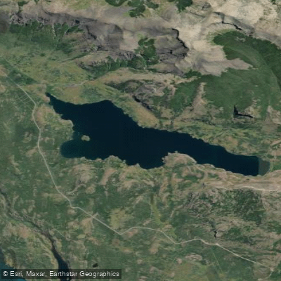
Lago Sofía
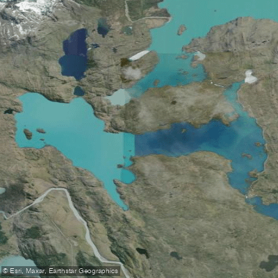
Lago Pehoé
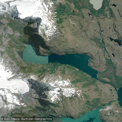
Laguna Azul
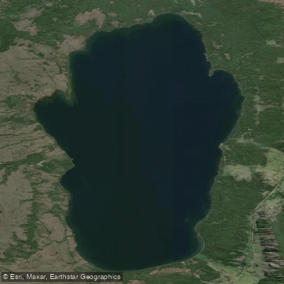
Lago Aníbal Pinto
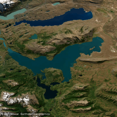
Lago del Toro
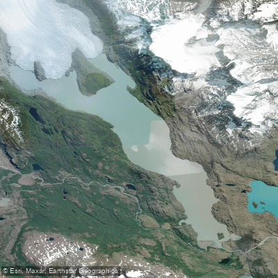
Lago Grey
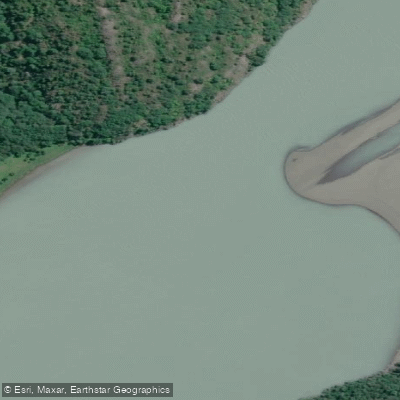
Río Serrano
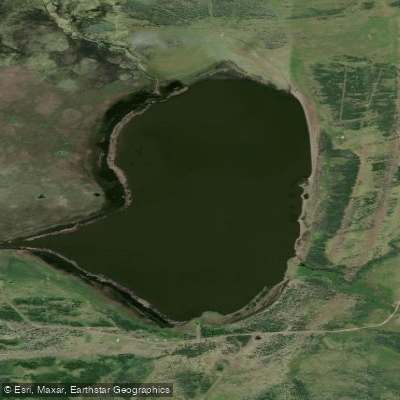
Laguna Escondida
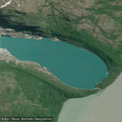
Laguna Serrano
Explore Magallanes waters
Top paddling waters
No waters available right now.
Popular Cities
Loading popular cities...
Explore near Lago Tyndall

Smarter Paddling Starts in the App.
Paddleways gives you everything you need to plan smarter, paddle better, and own every trip from first launch to takeout.