Río Serrano
Río Serrano
- Boat Ramps
- 0
- Access Points
- 0
- Campsites
- 1
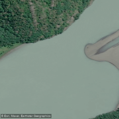
The Río Serrano flows from Torres del Paine National Park through Bernardo O'Higgins National Park before emptying into the Ultima Esperanza Fjord near Puerto Natales. The river runs at a generally flat grade 1–2, making it accessible to paddlers of varying skill levels, though it is consistently made challenging by strong, often gale-force winds that are a defining feature of Patagonian paddling. The river is surrounded by native coigue and cypress forests, and the route offers views of the Paine massif, Tyndall Glacier, the Geike range, and ultimately the Serrano Glacier as the river approaches the fjord.
There is one notable mandatory portage on the river: the Salto Río Serrano, a waterfall only a few meters high but with sharp rocks below that make running it inadvisable. The portage around it is approximately 100 meters. Paddlers should also be prepared to navigate around currents and partially submerged trees in addition to managing the wind.
Multi-day trips typically begin in the northern section of the Río Serrano, where the water is calmer and useful for assessing paddling conditions. A common route connects the Río Serrano with Lago Tyndall and the Río Grey, covering significant wilderness terrain over three to four days. The river passes through a remote stretch between the two national parks, where gaucho estancias can be found along the banks. The trip typically concludes near the Serrano Glacier, where paddlers can access a glacial lagoon and paddle among icebergs. This iceberg section is described as more sheltered from wind than the open river.
The Río Serrano entrance serves as one of the main access points into Torres del Paine National Park and functions as the park's administrative headquarters sector. Puerto Natales, reachable by boat from the fjord, is the primary gateway town for organizing trips. Guided multi-day expeditions are well established in the area, with operators providing equipment, camp setup, and meals. The remote character of the lower river, combined with the proximity to active glaciers and the unpredictability of Patagonian weather, means that even novice paddlers undertaking guided trips should be prepared for physically demanding conditions.
Water access, boat ramps & amenities
Learn how to get on Río Serrano. Uncover great paddling access points, boat ramps, and all the facilities you need for an unforgettable day on the water. Some locations shown may border or include private property. Always check property boundaries and applicable regulations before visiting. PaddleWays's Public & Private Land layer can help you plan your access with confidence.
Paddle smarter with real-time insights
Whether you're en route and conditions shift or you're looking for the best spot based on current flows, we enable you to make informed decisions on the fly.







Magallanes licenses and regulations
No licenses or regulations available for Magallanes.
Find Places to Paddle

Over 400,000 Places to Paddle
Every user gets free access to launch points, boat ramps, and public property parcels.


Water and weather conditions (10 day forecast)
See the best times to paddle Río Serrano and check the forecast before you go.
Rio Serrano En Desague Lago Del Toro
Paddling near Río Serrano
Lago Sofía
Lago Pehoé
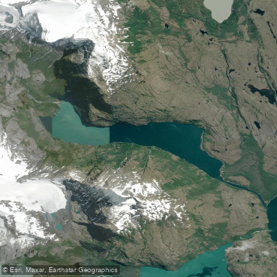
Laguna Azul
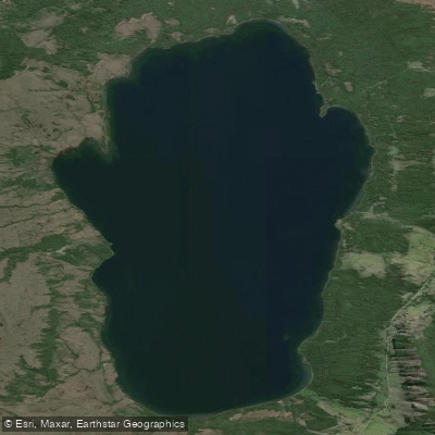
Lago Aníbal Pinto
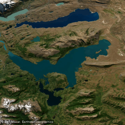
Lago del Toro
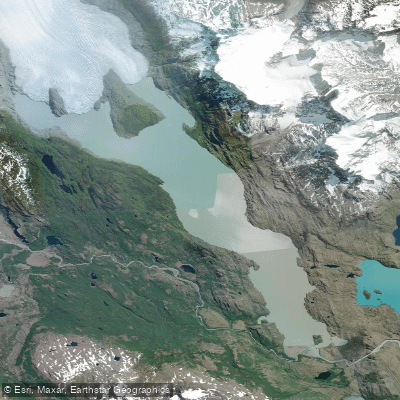
Lago Grey
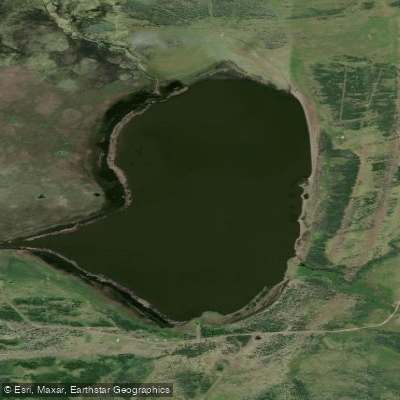
Laguna Escondida
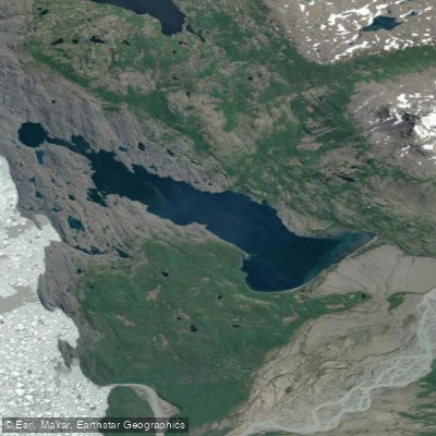
Lago Tyndall
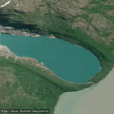
Laguna Serrano
Explore Magallanes waters
Top paddling waters
No waters available right now.
Popular Cities
Loading popular cities...
Explore near Río Serrano
Access points
Nearby waters
More in Magallanes

Smarter Paddling Starts in the App.
Paddleways gives you everything you need to plan smarter, paddle better, and own every trip from first launch to takeout.