Río Bullileo
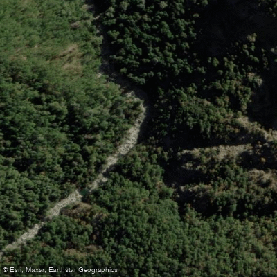
Río Bullileo
- Boat Ramps
- 0
- Access Points
- 0
- Campsites
- 2
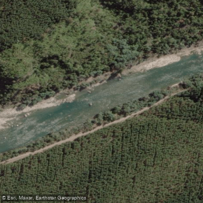
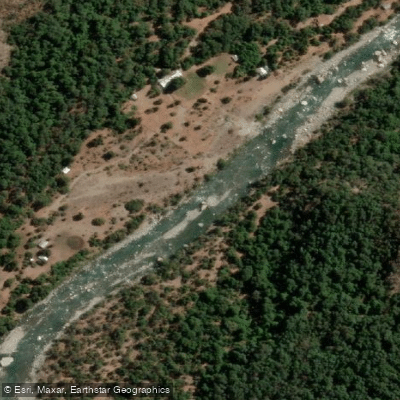
The Río Bullileo is a river in the Nuble Region of Chile that flows westward toward the Pacific Ocean. The primary paddling run described here is the lower section, beginning just below the discharge of Embalse Bullileo dam. The put-in is located approximately 47 kilometers from Parral along a paved road, near a Carabinero station. Paddlers typically put on at the end of a soccer field about 150 meters below the dam discharge. The take-out sits above the confluence with the Río Longaví.
The run covers 9.5 kilometers with a put-in elevation of approximately 590 meters and a take-out elevation of 471 meters, yielding an average gradient of 12.72 meters per kilometer (roughly 60 feet per mile). The relevant topographic map is Bullileo F-093. GPS coordinates for the put-in are 36.31°S, 71.4°W, and for the take-out, 36.23°S, 71.49°W.
The river is noted as being best run after heavy rain, suggesting flows are variable and dependent on precipitation as well as dam releases. Other rivers in the immediate area include the Longaví, Achibueno, Perquilauquén, and Ñuble, making the region a destination for paddlers looking to combine multiple runs.
The Bullileo serves as an important water source for regional agriculture and hydroelectric generation, and the presence of the dam at Embalse Bullileo directly influences flow conditions on the lower run. The river supports diverse plant and animal life, including various fish and bird species.
Water access, boat ramps & amenities
Learn how to get on Río Bullileo. Uncover great paddling access points, boat ramps, and all the facilities you need for an unforgettable day on the water. Some locations shown may border or include private property. Always check property boundaries and applicable regulations before visiting. PaddleWays's Public & Private Land layer can help you plan your access with confidence.
Paddle smarter with real-time insights
Whether you're en route and conditions shift or you're looking for the best spot based on current flows, we enable you to make informed decisions on the fly.







Ñuble licenses and regulations
No licenses or regulations available for Ñuble.
Find Places to Paddle

Over 400,000 Places to Paddle
Every user gets free access to launch points, boat ramps, and public property parcels.


Water and weather conditions (10 day forecast)
See the best times to paddle Río Bullileo and check the forecast before you go.
No forecast data available.
Paddling near Río Bullileo
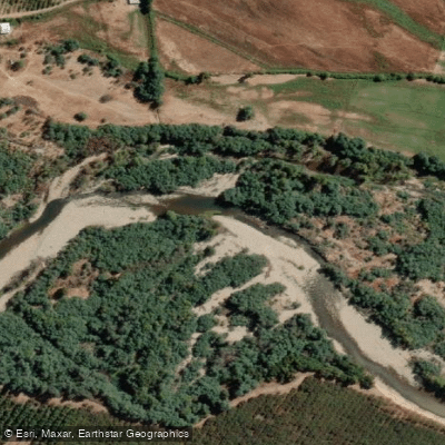
Explore Ñuble waters
Top paddling waters
No waters available right now.
Popular Cities
Loading popular cities...
Explore near Río Bullileo
Access points
Nearby waters
More in Ñuble

Smarter Paddling Starts in the App.
Paddleways gives you everything you need to plan smarter, paddle better, and own every trip from first launch to takeout.