Río Melado
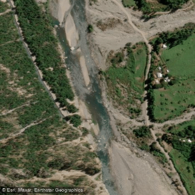
Río Melado
- Boat Ramps
- 0
- Access Points
- 0
- Campsites
- 0
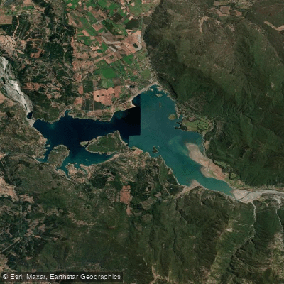
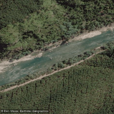
The Río Melado is a high-volume wilderness river located in the Linares province of the Maule Region in central Chile. It originates in the Cordillera de los Andes under the name Río Guaiquivilo, formed by two tributaries: the Río Cajón Troncoso, which rises near the Argentine border, and the Río Palaleo, which drains from Lago Dial approximately 70 kilometers upstream from their confluence. The Guaiquivilo flows northward through a classic interandean longitudinal valley before becoming the Melado. The Canal Melado, an infrastructure feature of the basin, diverts water from the river through the Guaiquivilo basin via a 4.2-kilometer tunnel to the Río Ancoa.
From a paddling standpoint, the Río Melado has long been on the radar of experienced whitewater paddlers as a serious wilderness objective. It is characterized as a high-volume run, and completing it from the source has historically proven extremely challenging — at least three unsuccessful attempts are documented. This context places it firmly in the category of committing, expedition-style whitewater rather than a casual day run. The remote and wilderness nature of the river means that self-sufficiency and careful planning are essential for any attempt.
The river also has a reputation among anglers, with trout fishing noted as an activity in the area, which reflects the relatively pristine character of the watershed. The surrounding terrain is mountainous Andean landscape consistent with the broader Maule Region. Given the remote location and the documented difficulty of accessing and completing the run, paddlers should approach the Río Melado with significant prior experience in wilderness whitewater environments and thorough logistical preparation.
Water access, boat ramps & amenities
Learn how to get on Río Melado. Uncover great paddling access points, boat ramps, and all the facilities you need for an unforgettable day on the water. Some locations shown may border or include private property. Always check property boundaries and applicable regulations before visiting. PaddleWays's Public & Private Land layer can help you plan your access with confidence.
Paddle smarter with real-time insights
Whether you're en route and conditions shift or you're looking for the best spot based on current flows, we enable you to make informed decisions on the fly.







Maule licenses and regulations
No licenses or regulations available for Maule.
Find Places to Paddle

Over 400,000 Places to Paddle
Every user gets free access to launch points, boat ramps, and public property parcels.


Water and weather conditions (10 day forecast)
See the best times to paddle Río Melado and check the forecast before you go.
Rio Melado En Zona De Presa
All Flow Stations
Explore Maule waters
Top paddling waters
No waters available right now.
Popular Cities
Loading popular cities...
Explore near Río Melado
Access points
Nearby waters
More in Maule

Smarter Paddling Starts in the App.
Paddleways gives you everything you need to plan smarter, paddle better, and own every trip from first launch to takeout.