Rio Cortaderal
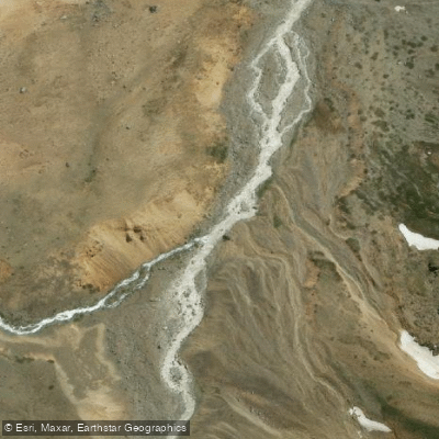
Rio Cortaderal
- Boat Ramps
- 0
- Access Points
- 0
- Campsites
- 0
The Río Cortaderal is located in Chile's O'Higgins Region (Sexta Región), where it flows as a tributary of the Río Cachapoal, itself part of the broader Río Rapel watershed. The river originates on the eastern slopes of Cerro El Palomo and runs approximately 30 kilometers before emptying into the southern bank of the Río Cachapoal near a place known as Resguardo Cortaderal. Along its course, it passes through Laguna Pejerreyes and Laguna Matancilla, and receives the waters of Estero Colorado, Estero Maravillas, and Estero Blanco. The river is visually distinctive for its turquoise-colored water.
Access to the river involves traveling via the Carretera El Cobre, passing through the locality of Coya. Continuing along this route past Puente Chacayes, travelers reach a second junction where a right turn leads toward the river. The road is rough, and a 4x4 vehicle is strongly recommended; standard passenger vehicles have been reported to struggle significantly on this route. There is also a gate at some point along the access road that may restrict further progress, so travelers should be prepared for the possibility of limited vehicle access beyond a certain point.
The surrounding landscape includes mountain scenery consistent with the Andean foothills of the O'Higgins Region, and the area is within reasonable driving distance of Santiago. The upper reaches of the valley connect to areas near Laguna del Yeso, which is accessible by continuing up the Cajón de las Leñas. Camping appears to be practiced in the area, though no formal facilities for paddlers are available.
No specific paddling routes, put-in or take-out points, hazard information, or regulations specific to paddling on the Río Cortaderal are known. Paddlers planning a trip should conduct additional research on river conditions, access permissions, and any seasonal flow data before committing to a route on this river.
Water access, boat ramps & amenities
Learn how to get on Rio Cortaderal. Uncover great paddling access points, boat ramps, and all the facilities you need for an unforgettable day on the water. Some locations shown may border or include private property. Always check property boundaries and applicable regulations before visiting. PaddleWays's Public & Private Land layer can help you plan your access with confidence.
Paddle smarter with real-time insights
Whether you're en route and conditions shift or you're looking for the best spot based on current flows, we enable you to make informed decisions on the fly.







O'higgins licenses and regulations
No licenses or regulations available for O'higgins.
Find Places to Paddle

Over 400,000 Places to Paddle
Every user gets free access to launch points, boat ramps, and public property parcels.


Water and weather conditions (10 day forecast)
See the best times to paddle Rio Cortaderal and check the forecast before you go.
Rio Cortaderal Ante Junta Rio Cachapoal
Paddling near Rio Cortaderal
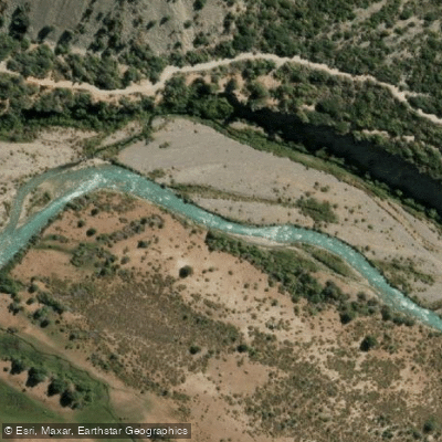
Rio Cachapoal
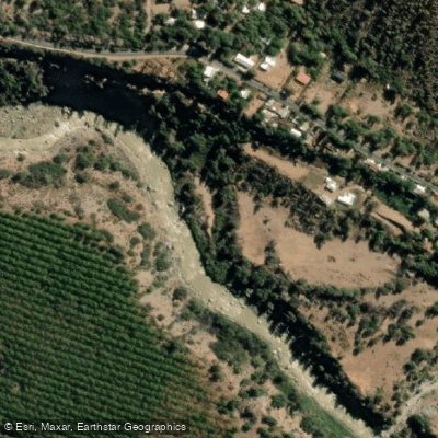
Rio Maipo
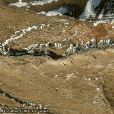
Rio Yeso
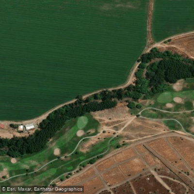
Rio Mapocho
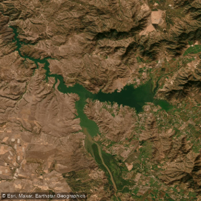
Lago Rapel
Rio Colorado
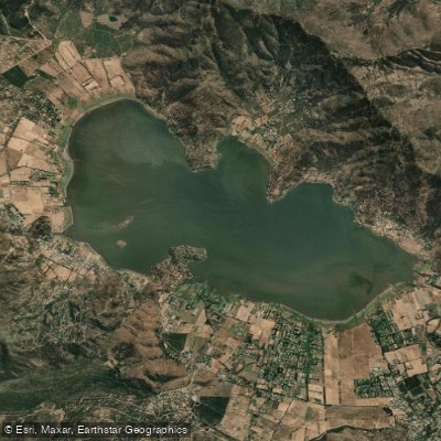
Laguna de Aculeo
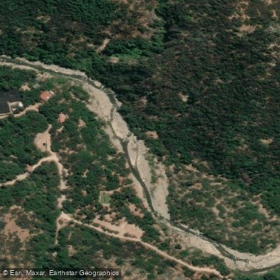
Rio Clarillo
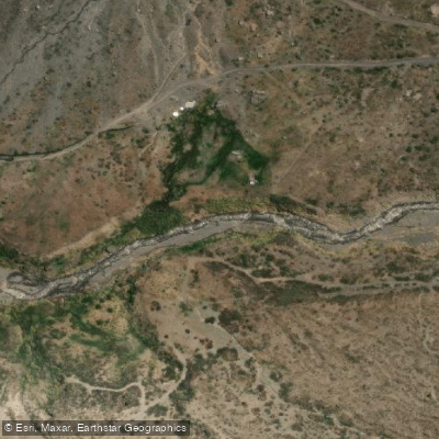
Rio Volcan
Explore O'higgins waters
Top paddling waters
No waters available right now.
Popular Cities
Loading popular cities...
Explore near Rio Cortaderal
Nearby waters
More in O'higgins

Smarter Paddling Starts in the App.
Paddleways gives you everything you need to plan smarter, paddle better, and own every trip from first launch to takeout.