Paddling in Vicente Pérez Rosales National Park
- National Park
- Lakes
- 7
- Rivers
- 17
- Access
- 1
- Boat Ramps
- 0
- Shops
- 0
Chile's oldest national park holds some of the most compelling paddling water in the Lake District — a system of deep glacial lakes, volcanically shaped rivers, and forested tributaries that together form a continuous corridor from the Andes toward the Pacific lowlands.
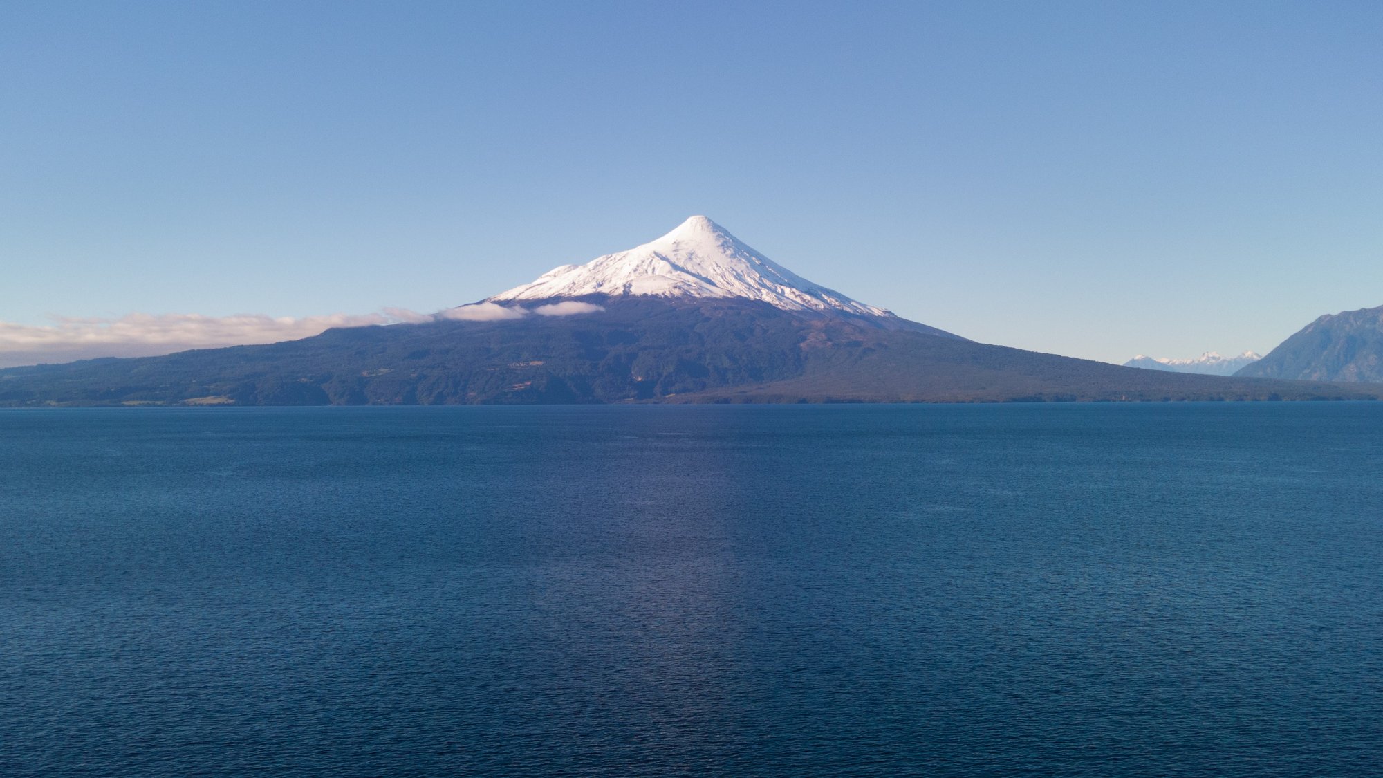
The park sits northeast of Puerto Montt, anchored by the Andes and bounded by Osorno and Puntiagudo volcanoes, with access running east along Route 225 from Puerto Varas. Lago Todos Los Santos is the park's gravitational center for paddlers.
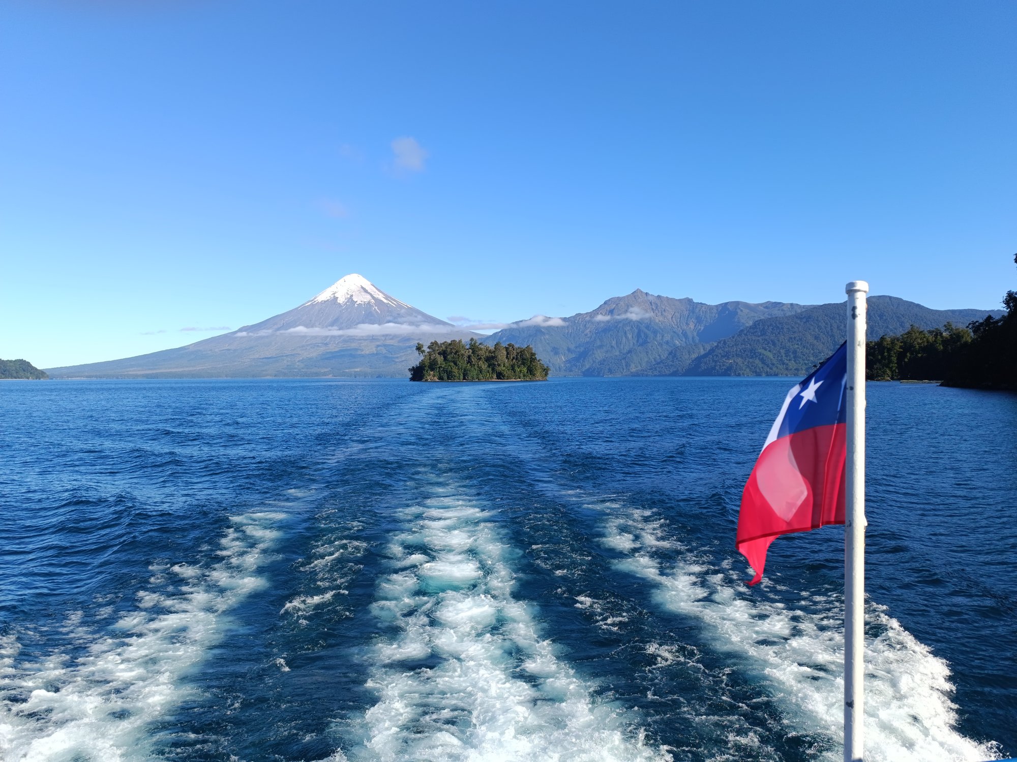
Long, deep, and surrounded by temperate rainforest rising steeply to snowcapped peaks, it draws touring kayakers who want to move across open water with Osorno and Monte Tronador filling the skyline.
The lake also functions as the crossing point on the Cruce Andino route toward Bariloche, so boat traffic from ferries and catamarans is part of the reality here — plan crossings with that in mind.
Lago Cayutué, a smaller lake within the park, sits in flatter, poorly drained terrain where gallery forest of canelo and coigüe crowds the shore; it is a humid, sheltered environment, which translates to calm, protected water.
The Río Petrohué drains Lago Todos Los Santos westward and is the park's signature moving water.
The Petrohué Falls — where the river forces through volcanic rock channels — are a hard stop for downstream passage, but the river draws whitewater rafters and is run commercially from the park.
Fly-fishing for rainbow and brown trout is also active on the Petrohué. The Río Peulla feeds into the eastern end of Lago Todos Los Santos near the town of Peulla, and Río Negro and Río Blanco are among the tributaries draining the park's interior ranges.
Lago Llanquihue lies along the western approach to the park on Route 225 and frames the drive in from Puerto Varas, though it sits outside the park boundary proper.
Because this is a protected national park administered by CONAF, entry requires a ticket purchased through Pases Parques — check there and directly with CONAF for current access conditions, any permit requirements for overnight trips, and rules specific to the water you plan to paddle.
The park's status as part of the Temperate Rainforests of the Southern Andes Biosphere Reserve means the resource carries weight beyond the park boundary; treat it accordingly.
Rain is a constant in this climate, even in summer — waterproof everything, and build weather days into any multi-day itinerary on the lakes.
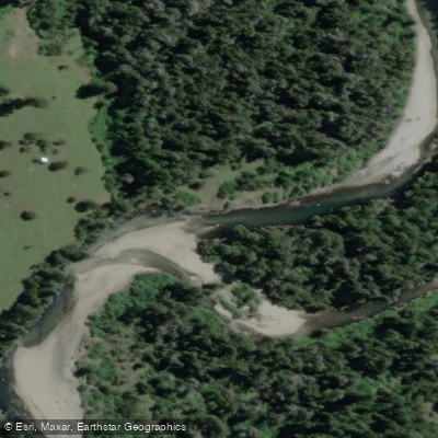
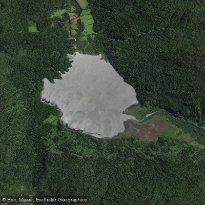
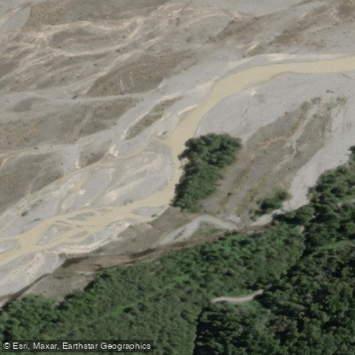
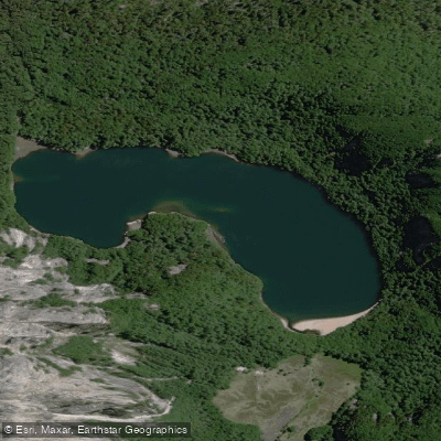
Top waters to paddle near Vicente Perez Rosales National Park
Water and weather conditions (10 day forecast)
See the best times to paddle Vicente Pérez Rosales National Park and check the forecast before you go.
No forecast data available.
Paddle smarter with real-time insights
Whether you're en route and conditions shift or you're looking for the best spot based on current flows, we enable you to make informed decisions on the fly.







Paddling near Vicente Pérez Rosales National Park
Loading...
Gateway towns
Where to base yourself for paddling in Vicente Pérez Rosales National Park.
- Puerto VarasLos Lagos
Main gateway to the park, with the widest range of lodging, tour operators, and outfitters serving the park.
- EnsenadaLos Lagos
Small village at the park's western entrance, closest to the Petrohué Waterfalls and Osorno Volcano trailheads.
- PetrohuéLos Lagos
Sits inside the park at Lago Todos los Santos, the launch point for lake crossings and the Cruce Andino route to Argentina.
- PeullaLos Lagos
Remote village on the eastern shore of Lago Todos los Santos, reachable by ferry and a stop on the Cruce Andino crossing.
Explore Vicente Pérez Rosales National Park
Top paddling waters
Popular Cities
Loading popular cities...

Smarter Paddling Starts in the App.
Paddleways gives you everything you need to plan smarter, paddle better, and own every trip from first launch to takeout.