Lago Todos Los Santos
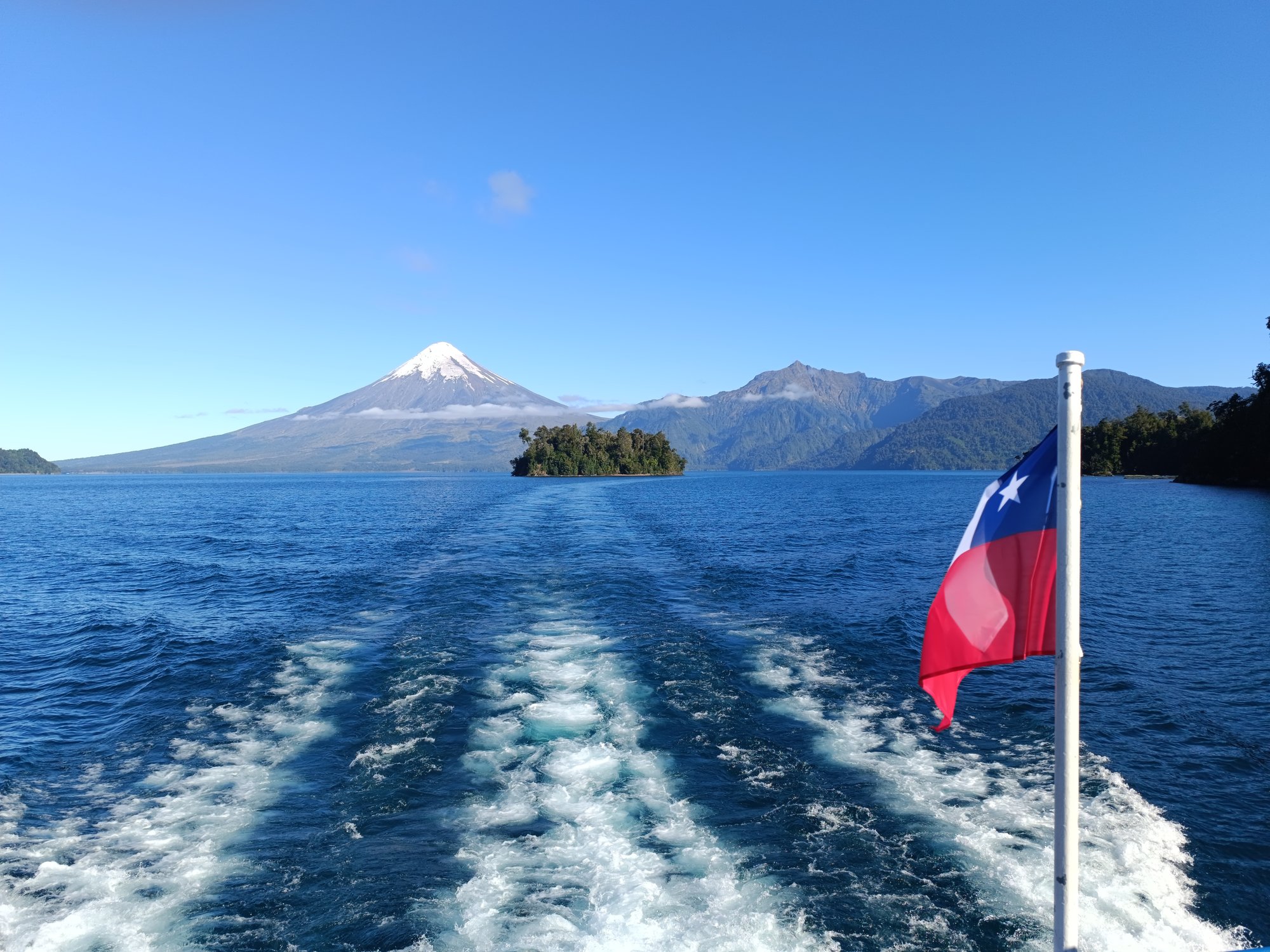
Lago Todos Los Santos
- Boat Ramps
- 0
- Access Points
- 2
- Campsites
- 1
Lago Todos los Santos lies within the Vicente Pérez Rosales National Park in the Los Lagos Region of southern Chile, approximately 76 km east of Puerto Varas and 96 km northeast of Puerto Montt. The lake covers a surface area of 178.5 km², stretches 32 km in length and up to 16 km in width, and reaches a maximum depth of 337 m with an average depth of 190 m. It sits at an elevation of 189 m above sea level. A single island, Isla Margarita, lies within the lake. The waters are notably emerald-green in color, a characteristic attributed to their glacial origin, and the lake's surface acts as a reflective mirror for the surrounding forested slopes.
The lake is flanked by three prominent volcanoes — Osorno, Puntiagudo, and Tronador — and the catchment is largely covered with old-growth Valdivian temperate rain forests. The eastern shore is home to Villa Peulla, a small settlement that offers accommodation and ecotourism services. The lake's primary use by visitors is as a transit route for the Andean Lakes Crossing, a multi-lake journey connecting the Chilean Lake District to Bariloche, Argentina, meaning commercial boat traffic is a regular presence on the water.
Kayaking is a recognized activity on the lake, with calm coves available for paddling. However, the lake's large size, significant depth, and exposure to variable weather conditions in this part of Patagonia make preparation essential. Paddlers should carry warm and waterproof clothing, as the climate is highly changeable. As the lake falls entirely within Vicente Pérez Rosales National Park, leave-no-trace principles apply and visitors are expected to follow park ranger instructions and respect native fauna and flora.
Fishing is also practiced on the lake. Access to the western end is via Petrohué, which serves as the main gateway and is reachable from Puerto Varas. Despite the lake's scenic qualities and suitability for kayaking, independent paddling remains relatively uncommon compared to commercial boat tours, which run year-round. The park's protected status has preserved the surrounding old-growth forest and water quality, keeping the environment in good condition.
Water access, boat ramps & amenities
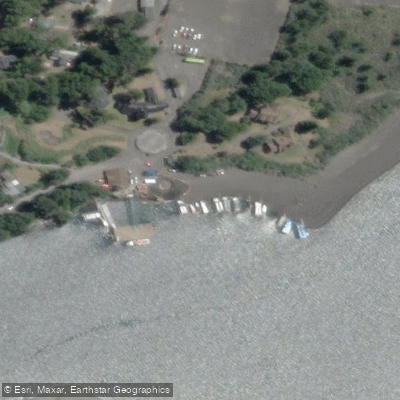
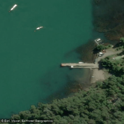
Learn how to get on Lago Todos Los Santos. Uncover great paddling access points, boat ramps, and all the facilities you need for an unforgettable day on the water. Some locations shown may border or include private property. Always check property boundaries and applicable regulations before visiting. PaddleWays's Public & Private Land layer can help you plan your access with confidence.
Paddle smarter with real-time insights
Whether you're en route and conditions shift or you're looking for the best spot based on current flows, we enable you to make informed decisions on the fly.







Los Lagos licenses and regulations
No licenses or regulations available for Los Lagos.
Find Places to Paddle

Over 400,000 Places to Paddle
Every user gets free access to launch points, boat ramps, and public property parcels.


Water and weather conditions (10 day forecast)
See the best times to paddle Lago Todos Los Santos and check the forecast before you go.
Rio Petrohue En Desague Lago Todos Los Santos
Paddling near Lago Todos Los Santos
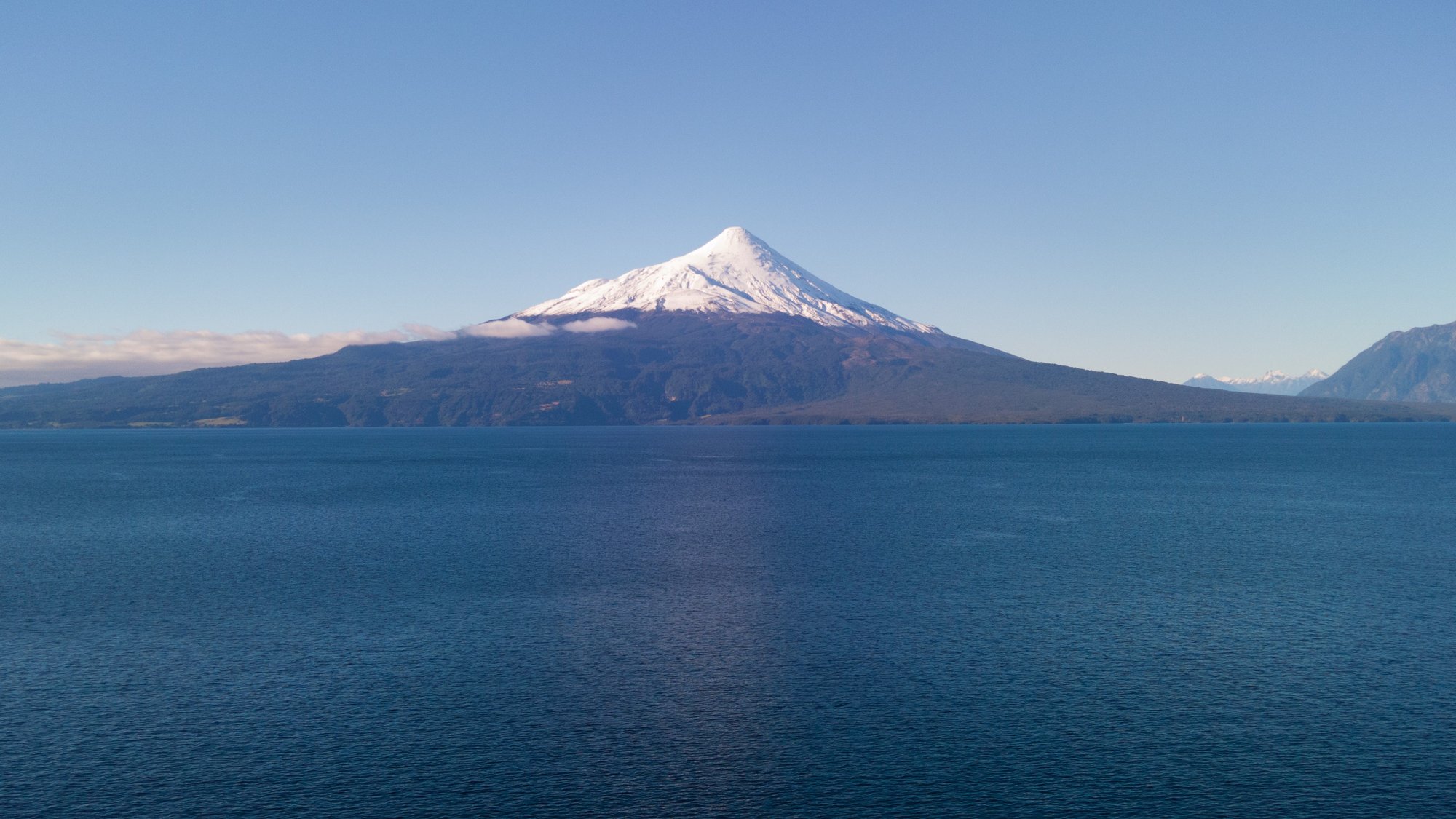
Lago Llanquihue
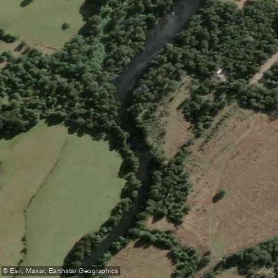
Río Maullín
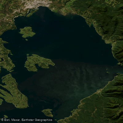
Seno de Reloncaví
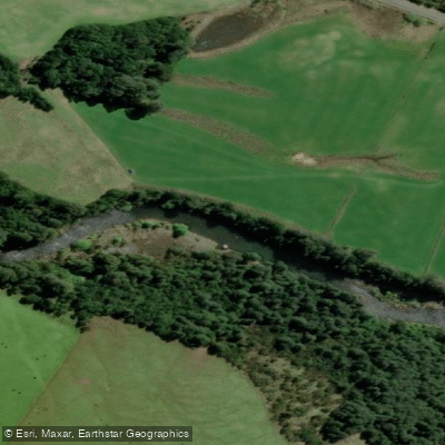
Río Chamiza
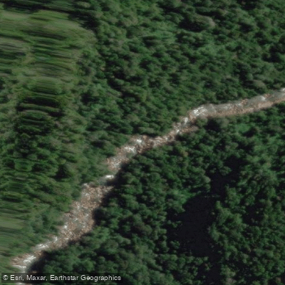
Río Cochamó
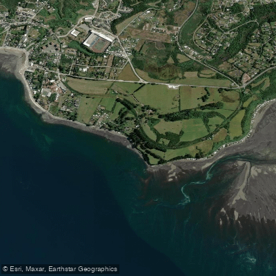
Playa Pelluhuin
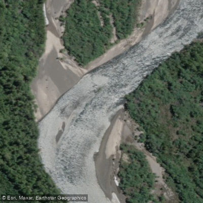
Río Petrohué
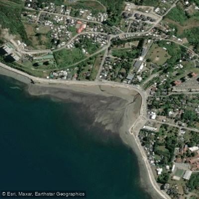
Playa Pelluco
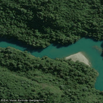
Río Puelo
Explore Los Lagos waters
Top paddling waters
No waters available right now.
Popular Cities
Loading popular cities...
Explore near Lago Todos Los Santos

Smarter Paddling Starts in the App.
Paddleways gives you everything you need to plan smarter, paddle better, and own every trip from first launch to takeout.