Río Petrohué
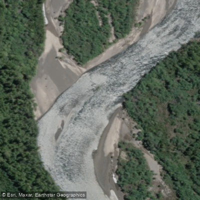
Río Petrohué
- Boat Ramps
- 0
- Access Points
- 0
- Campsites
- 0
The Río Petrohué flows from Lago Todos los Santos westward through Vicente Pérez Rosales National Park in the Los Lagos Region of Chile, draining into the Reloncaví estuary near Ralun. The river is characterized by turquoise water moving through volcanic rock formations, with the snowcapped Volcán Osorno providing a prominent backdrop throughout much of the run. Volcanes Calbuco and Puntiagudo are also visible from the river corridor.
The most notable feature along the river is the Saltos de Petrohué, a series of waterfalls where the water charges through channels carved into old lava flows. Rafting and kayaking take place below these falls, on a section rated Class III. Commercial operators describe the run as approximately one hour on the water, combining fast-moving rapids with calmer stretches. The river is also used for full-day kayak descents that continue to the river's mouth at the Reloncaví estuary, with a lunch break mid-route. The estuary section near Ralun is used for flatwater kayaking, with at least one operator offering access to a private put-in at the tidal mouth.
The best conditions for whitewater paddling are generally from December through March, when flows are at their peak due to the combination of rainfall and seasonal glacial meltwater. Multiple commercial operators run trips from Puerto Varas and from Ensenada, with transport to the put-in typically included. The Petrohue Lodge, situated on the shore of Lago Todos los Santos at the river's headwaters, serves as a base for organizing river activities.
The river runs entirely within Vicente Pérez Rosales National Park, Chile's oldest national park, established in 1926, so paddlers should be aware of any park regulations that may apply. The river is well regarded for fly fishing, with trout present throughout. The overall character of the paddling experience combines accessible whitewater in a volcanically shaped landscape, with the river's distinctive turquoise color a consistent feature noted across the full length of the run.
Water access, boat ramps & amenities
Learn how to get on Río Petrohué. Uncover great paddling access points, boat ramps, and all the facilities you need for an unforgettable day on the water. Some locations shown may border or include private property. Always check property boundaries and applicable regulations before visiting. PaddleWays's Public & Private Land layer can help you plan your access with confidence.
Paddle smarter with real-time insights
Whether you're en route and conditions shift or you're looking for the best spot based on current flows, we enable you to make informed decisions on the fly.







Los Lagos licenses and regulations
No licenses or regulations available for Los Lagos.
Find Places to Paddle

Over 400,000 Places to Paddle
Every user gets free access to launch points, boat ramps, and public property parcels.


Water and weather conditions (10 day forecast)
See the best times to paddle Río Petrohué and check the forecast before you go.
Rio Petrohue En Desague Lago Todos Los Santos
Paddling near Río Petrohué
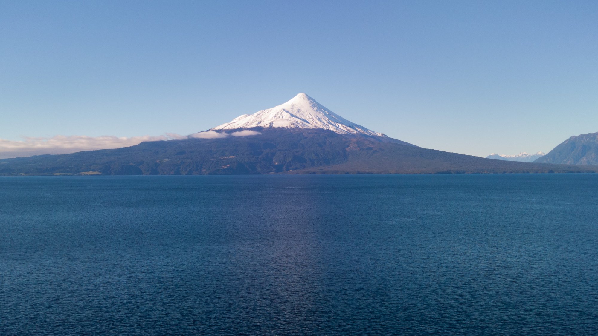
Lago Llanquihue
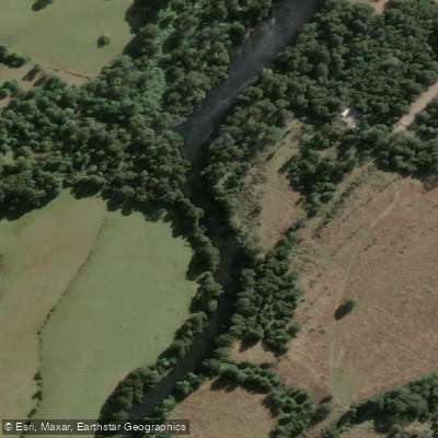
Río Maullín
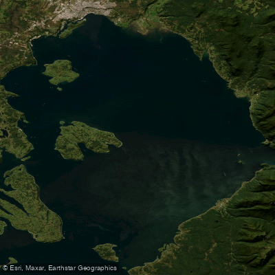
Seno de Reloncaví
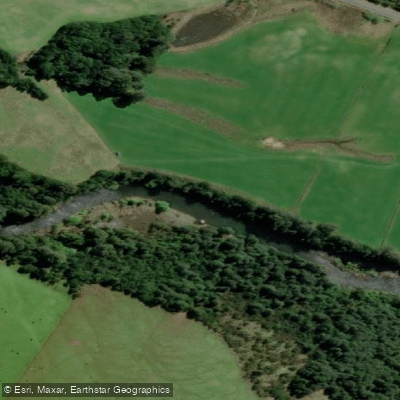
Río Chamiza
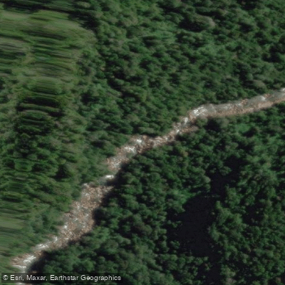
Río Cochamó
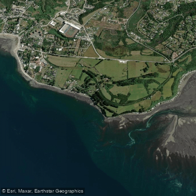
Playa Pelluhuin
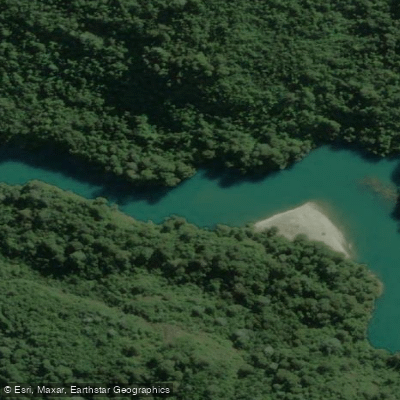
Río Puelo
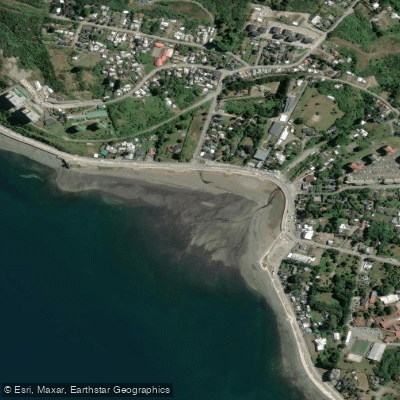
Playa Pelluco
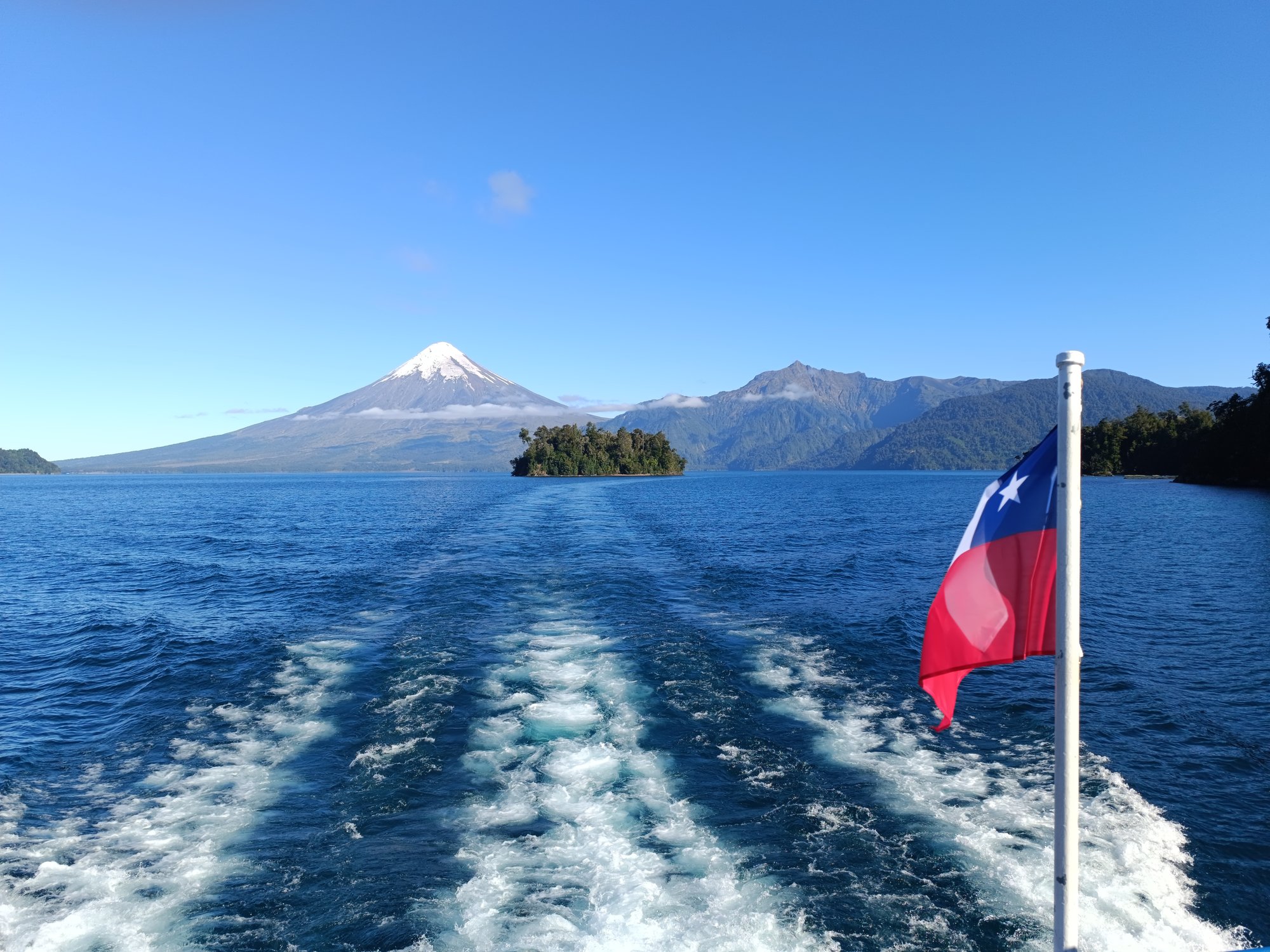
Lago Todos Los Santos
Explore Los Lagos waters
Top paddling waters
No waters available right now.
Popular Cities
Loading popular cities...
Explore near Río Petrohué
Access points
Nearby waters
More in Los Lagos

Smarter Paddling Starts in the App.
Paddleways gives you everything you need to plan smarter, paddle better, and own every trip from first launch to takeout.