Afon Hafren
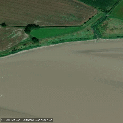
Afon Hafren
- Boat Ramps
- 0
- Access Points
- 0
- Campsites
- 0
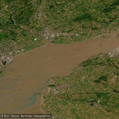
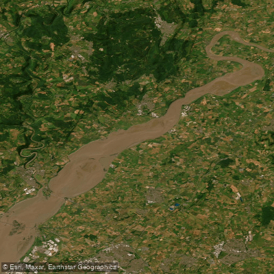
The Afon Hafren, known in English as the River Severn, is the longest river in Great Britain at 220 miles (354 km). It rises in the Cambrian Mountains of mid Wales on the Plynlimon massif at an elevation of 610 m (2,000 ft), near the Ceredigion/Powys border close to Llanidloes. From its source, the river flows through Shropshire, Worcestershire, and Gloucestershire before entering the Severn Estuary near Chepstow and ultimately the Bristol Channel.
The Severn carries the most voluminous flow of any river in England and Wales, with an average flow rate of 107 m³/s (3,800 cu ft/s) measured at Apperley, Gloucestershire. This substantial volume makes it a particularly reliable summer touring river at times when other rivers in the region may be running too low for paddling.
The river passes through or near a number of historically significant locations, including Ironbridge, Shrewsbury, Worcester, and Gloucester. These settlements along its course offer cultural and historical interest for paddlers on multi-day trips. The county towns of Shrewsbury, Worcester, and Gloucester each sit directly on the river's course.
The name of the river has deep historical roots. During the Roman occupation it was known by the Romano-British Latin name Sabrina, thought to derive from the British word sabrinā. The Welsh name, Afon Hafren, reflects this ancient lineage. The English name "Severn" is an anglicised form of the same Celtic origin, with one proposed etymology suggesting it refers to a gap in the coastline, pointing to the estuary.
Given its length and the volume of water it carries, the Severn is well suited to extended touring expeditions. Its reliable summer flows make it a practical choice for paddlers planning trips during drier months when other regional rivers may not be navigable.
Water access, boat ramps & amenities
Learn how to get on Afon Hafren. Uncover great paddling access points, boat ramps, and all the facilities you need for an unforgettable day on the water. Some locations shown may border or include private property. Always check property boundaries and applicable regulations before visiting. PaddleWays's Public & Private Land layer can help you plan your access with confidence.
Paddle smarter with real-time insights
Whether you're en route and conditions shift or you're looking for the best spot based on current flows, we enable you to make informed decisions on the fly.








Find Places to Paddle

Over 400,000 Places to Paddle
Every user gets free access to launch points, boat ramps, and public property parcels.


Water and weather conditions (10 day forecast)
See the best times to paddle Afon Hafren and check the forecast before you go.
Epney
All Flow Stations
Paddling near Afon Hafren

Explore England waters
Top paddling waters
No waters available right now.
Popular Cities
Loading popular cities...
Explore near Afon Hafren

Smarter Paddling Starts in the App.
Paddleways gives you everything you need to plan smarter, paddle better, and own every trip from first launch to takeout.