Afon Hafren
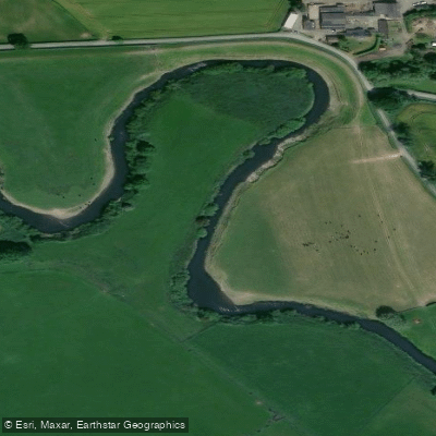
Afon Hafren
- Boat Ramps
- 12
- Access Points
- 7
- Campsites
- 32
The Afon Hafren, known in English as the River Severn, is the longest river in Great Britain at 220 miles (354 km). It rises in the Cambrian Mountains of mid Wales on the Plynlimon massif at an elevation of 610 metres (2,000 ft), near the Ceredigion/Powys border close to Llanidloes. From its source in the Hafren Forest, the river flows through Shropshire, Worcestershire, and Gloucestershire before entering the Severn Estuary near Chepstow and ultimately the Bristol Channel.
The river carries the most voluminous flow of any river in England and Wales, with an average flow rate of 107 cubic metres per second measured at Apperley, Gloucestershire. This substantial volume makes the Severn a particularly reliable summer touring river, remaining paddleable when many other rivers in the region may be running too low. The upper reaches near the source are not navigable at low flows; one source-to-sea expedition found that paddling became practical from a point near Garthmyl on the B4385, rather than from the source itself.
The river passes through or near several historically significant locations, including Ironbridge, Shrewsbury, Worcester, and Gloucester. The county towns of Shrewsbury, Worcester, and Gloucester all lie directly on its course, offering potential access and resupply points for multi-day touring paddlers.
The river's Welsh name, Afon Hafren, derives from the legendary figure Habren (or Hafren), a character from early British mythology who was said to have been drowned in the river, after which it bore her name. The Roman name for the river was Sabrina. This deep cultural and mythological heritage gives the river a distinctive historical character that extends well beyond its physical dimensions.
The Severn is primarily regarded as a touring river suited to paddlers with appropriate experience, given its length, variable conditions, and the tidal nature of its lower reaches approaching the estuary. The river becomes tidal in its lower section, which introduces additional considerations for trip planning in that stretch.
Water access, boat ramps & amenities
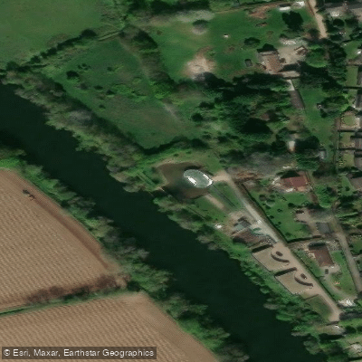
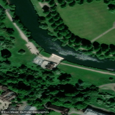
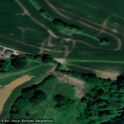
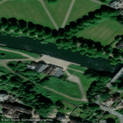
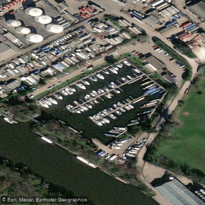
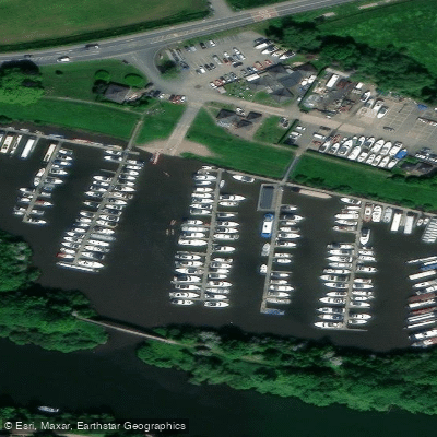
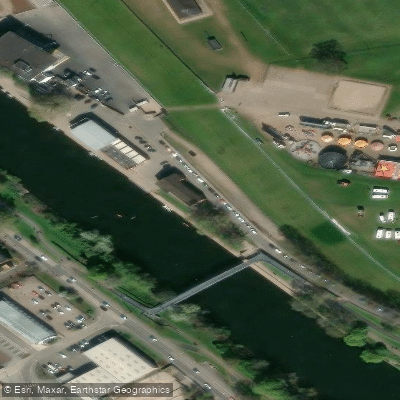
Learn how to get on Afon Hafren. Uncover great paddling access points, boat ramps, and all the facilities you need for an unforgettable day on the water. Some locations shown may border or include private property. Always check property boundaries and applicable regulations before visiting. PaddleWays's Public & Private Land layer can help you plan your access with confidence.
Paddle smarter with real-time insights
Whether you're en route and conditions shift or you're looking for the best spot based on current flows, we enable you to make informed decisions on the fly.








Find Places to Paddle

Over 400,000 Places to Paddle
Every user gets free access to launch points, boat ramps, and public property parcels.


Water and weather conditions (10 day forecast)
See the best times to paddle Afon Hafren and check the forecast before you go.
Severn At Abermule
All Flow Stations
Paddling near Afon Hafren
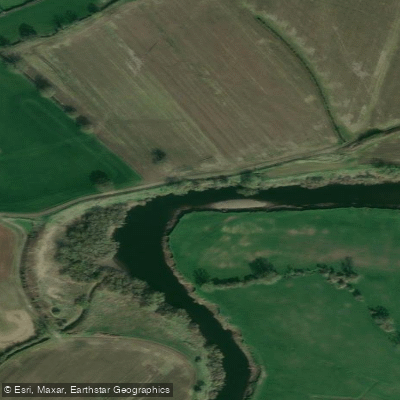
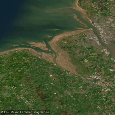

Explore England waters
Top paddling waters
No waters available right now.
Popular Cities
Loading popular cities...
Explore near Afon Hafren
Access points
- Frankwell Quay Slipway
- Shrewsbury Canoe Hire
- Slipway, Apperley, The Coal House Inn
- Slipway, Ashleworth, The Boat Inn
- Slipway, Diglis Island
- Slipway, Kempsey
- Slipway, Mythe Bridge
- Slipway, Pixham
- Slipway, Saxon Lode Cottages
- Slipway, Sea Scouts Worcester
- Slipway, The Lower Lode
- Slipway, The Outlook Riverlands
- All 51 spots
Nearby waters
More in England

Smarter Paddling Starts in the App.
Paddleways gives you everything you need to plan smarter, paddle better, and own every trip from first launch to takeout.