River Chew
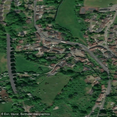
River Chew
- Boat Ramps
- 0
- Access Points
- 0
- Campsites
- 0
The River Chew is a small lowland river in Somerset, England, rising in the Mendip Hills near Chewton Mendip at an elevation of around 305 metres and flowing approximately 17 miles (27 km) northward through the Chew Valley before joining the River Avon at Keynsham, midway between Bristol and Bath. The river drains a basin of roughly 145 square kilometres and carries an average discharge of 1.18 cubic metres per second at Keynsham.
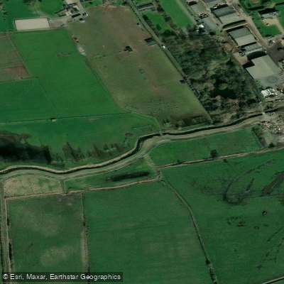
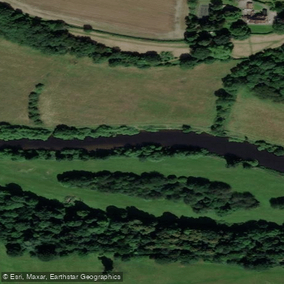
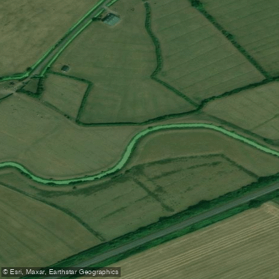
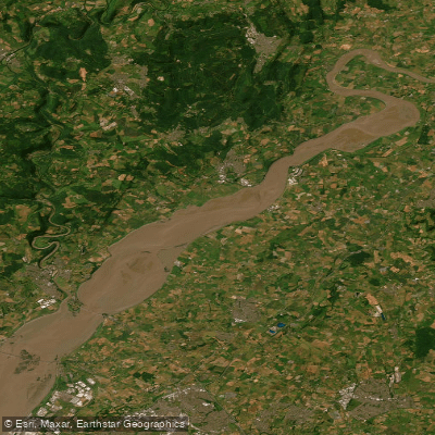
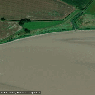
The character of the river is predominantly rural and agricultural. The valley sides and flood plains are largely used for farming, with mill sites scattered through the villages along its course. The river alternates between shallow glides and deeper pools, with abundant bankside vegetation, lilies, and reeds in many stretches. Water clarity can be high in winter low-flow conditions, though bank and land erosion gives the river a reddish-brown colouration during spate conditions following heavy rain. Periods of heavy rainfall can considerably swell the stream and have historically caused significant flooding, most notably in 1968.
According to Bristol Canoe Club, the river is paddleable from Chew Magna, near the outlet of Chew Valley Lake, through Pensford and Compton Dando and beyond toward Keynsham, where it joins the Avon. The route contains many weirs and may not be easily navigable in low water conditions. Chew Valley Lake itself is private and not available for paddling. The river is generally described as a flat-water paddle, though the presence of multiple weirs means paddlers should be prepared for portages.
Access points noted along the river include Compton Dando Bridge, where limited parking is available via a kissing gate, and Uplands Bridge, also with limited parking. The Two Rivers footpath follows the river from Compton Dando all the way to Keynsham and on to the River Avon, which may assist with logistics.
The river supports a notable range of wildlife. Environment Agency fish surveys have recorded salmon and sea trout parr in the Compton Dando stretch, alongside brown trout, grayling, chub, barbel, dace, roach, perch, and eels. The river and its catchment are considered ecologically significant, with several Sites of Special Scientific Interest in the surrounding area.
Water access, boat ramps & amenities
Learn how to get on River Chew. Uncover great paddling access points, boat ramps, and all the facilities you need for an unforgettable day on the water. Some locations shown may border or include private property. Always check property boundaries and applicable regulations before visiting. PaddleWays's Public & Private Land layer can help you plan your access with confidence.
Paddle smarter with real-time insights
Whether you're en route and conditions shift or you're looking for the best spot based on current flows, we enable you to make informed decisions on the fly.








Find Places to Paddle

Over 400,000 Places to Paddle
Every user gets free access to launch points, boat ramps, and public property parcels.


Water and weather conditions (10 day forecast)
See the best times to paddle River Chew and check the forecast before you go.
Keynsham
All Flow Stations
Paddling near River Chew
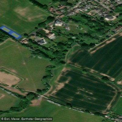
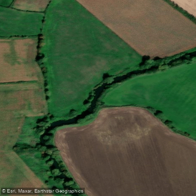
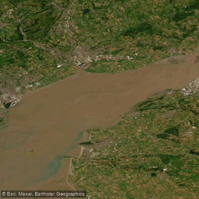

Explore England waters
Top paddling waters
No waters available right now.
Popular Cities
Loading popular cities...
Explore near River Chew

Smarter Paddling Starts in the App.
Paddleways gives you everything you need to plan smarter, paddle better, and own every trip from first launch to takeout.