River Barle
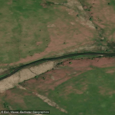
River Barle
- Boat Ramps
- 0
- Access Points
- 0
- Campsites
- 1
The River Barle rises near Simonsbath on Exmoor in Somerset at an elevation of around 400 metres and flows approximately 39.6 kilometres (24.6 miles) before joining the River Exe at Exebridge in Devon. The river passes through Withypool and Simonsbath along its course, running through Exmoor National Park for much of its length.
The upper reaches of the Barle are characterised by whitewater rapids graded at Class 2 (with some sections approaching 3), making it suitable for beginner to intermediate kayakers and canoeists. It is notable as one of the very few naturally occurring whitewater rivers in England. Two distinct paddling sections are commonly referenced: Simonsbath to Tarr Steps (approximately 16 kilometres) and Tarr Steps to the Exe confluence (approximately 13 kilometres).
Water levels are a key planning consideration. The Bushford gauge is the primary reference point for the Barle, with levels at Bushford running roughly 0.5 metres higher and approximately 2.5 hours later than at Simonsbath. Recommended levels at Dulverton are 0.5 metres on the low end and above 0.75 metres on the high end, while Tarr Steps is considered paddleable between 0.75 and 1.1 metres. Given the river's dependence on rainfall, conditions are most reliably suitable during wetter months.
The river flows through the Somerset Wildlife Trust's Mounsey Wood Nature Reserve and the Knaplock and North Barton Site of Special Scientific Interest (SSSI), first notified in 1954. The SSSI designation reflects the ecological importance of the corridor, which supports kingfishers and is one of the only locations of great burnet on Exmoor. The Eurasian otter has also been recorded as a habitat species in the river itself.
For much of its route, the Two Moors Way long-distance footpath follows the river's banks. The river is also a recognised salmon and trout fishery, which paddlers should be aware of when planning trips, particularly in relation to angling activity along the banks.
A Paddle UK (British Canoeing) waterways licence covers paddling on the Barle, and membership provides access to 4,500 kilometres of waterways across England and Wales.
Water access, boat ramps & amenities
Learn how to get on River Barle. Uncover great paddling access points, boat ramps, and all the facilities you need for an unforgettable day on the water. Some locations shown may border or include private property. Always check property boundaries and applicable regulations before visiting. PaddleWays's Public & Private Land layer can help you plan your access with confidence.
Paddle smarter with real-time insights
Whether you're en route and conditions shift or you're looking for the best spot based on current flows, we enable you to make informed decisions on the fly.








Find Places to Paddle

Over 400,000 Places to Paddle
Every user gets free access to launch points, boat ramps, and public property parcels.


Water and weather conditions (10 day forecast)
See the best times to paddle River Barle and check the forecast before you go.
Brushford
All Flow Stations
Paddling near River Barle
River Taff
River Axe

Bristol Channel
River Parrett
Congresbury Yeo
Bristol Channel Inner North
River Brue
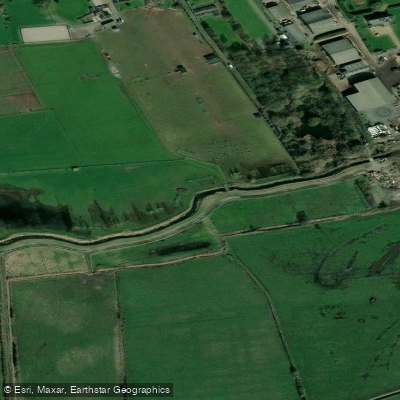
Land Yeo
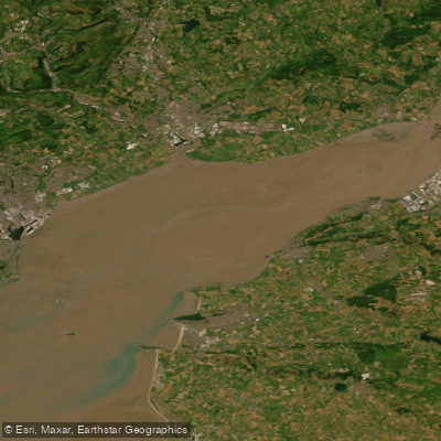
Severn Lower
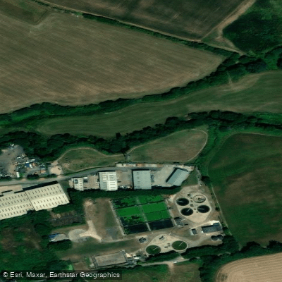
River Tone
Explore England waters
Top paddling waters
No waters available right now.
Popular Cities
Loading popular cities...
Explore near River Barle

Smarter Paddling Starts in the App.
Paddleways gives you everything you need to plan smarter, paddle better, and own every trip from first launch to takeout.