Swansea Bay
- Saltwater
- Bay
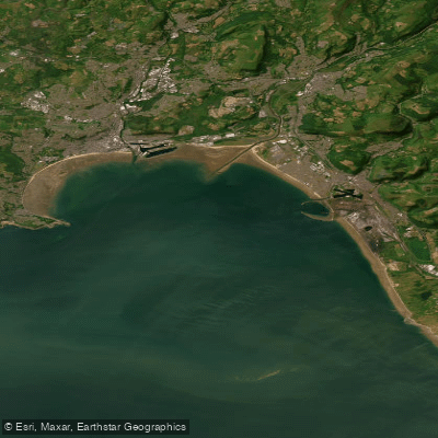
Swansea Bay
- Saltwater
- Bay
- Sq. miles
- 43
- Boat Ramps
- 4
- Access Points
- 0
- Campsites
- 0
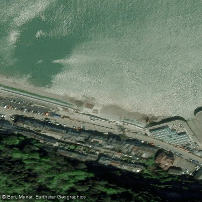
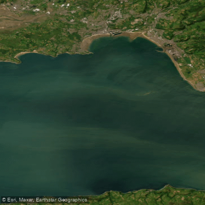
Swansea Bay is a large coastal bay on the Bristol Channel, forming a significant stretch of coastline between Port Talbot and the city of Swansea. The bay's shape has been compared to the Bay of Naples, and its coastline features a mix of industrial heritage, towns, and long sandy beaches. For paddlers, the primary consideration is the significant tidal range and strong flows of the Bristol Channel, which present a notable challenge and require careful planning regarding timing and direction. The coastline along the bay transitions from the industrial landmarks of Port Talbot, including historic giant cranes, to more urban and developed areas near Swansea itself.
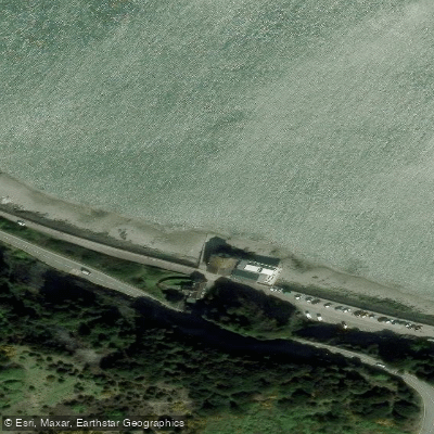
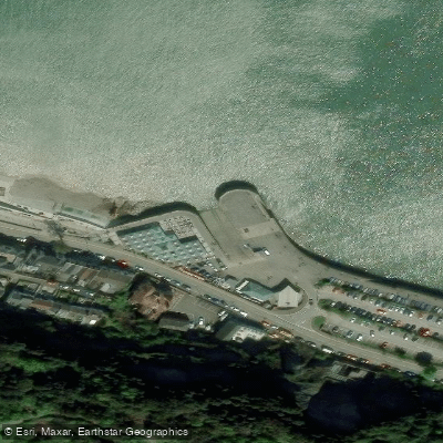
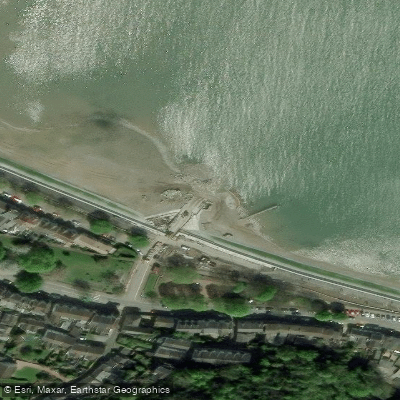
Several launch spots for paddlecraft exist along the bay. Specific put-in points include Oystermouth Road, the area opposite St Helens Rugby Ground, and Knab Rock, which has a smaller slipway. The wide promenade near smart apartments and the Civic Centre in Swansea also provides coastal access. Paddlers can incorporate sections of the Wales Coast Path, which runs along the edge of the bay, for trip planning. The bay is exposed to the full fetch of the Bristol Channel, making wind conditions and wave action a primary safety factor, especially given the powerful tidal currents. Boat traffic can be expected near the Swansea Marina area and the commercial docks at Port Talbot.
The paddling experience offers views of industrial history juxtaposed with coastal scenery. Notable sights include the giant cranes of Port Talbot and the sandy beaches of the Gower Peninsula at the western edge of the bay. The area is part of a heavily industrialized region, one of the oldest in the world, which shapes its character. Facilities for paddlers appear limited to basic public access points and slips; amenities like cafes are found in the marinas and along the promenades in Swansea.
Water access, boat ramps & amenities
Learn how to get on Swansea Bay. Uncover great paddling access points, boat ramps, and all the facilities you need for an unforgettable day on the water. Some locations shown may border or include private property. Always check property boundaries and applicable regulations before visiting. PaddleWays's Public & Private Land layer can help you plan your access with confidence.
Paddle smarter with real-time insights
Whether you're en route and conditions shift or you're looking for the best spot based on current flows, we enable you to make informed decisions on the fly.








Find Places to Paddle

Over 400,000 Places to Paddle
Every user gets free access to launch points, boat ramps, and public property parcels.


Tides, wind & water conditions (10 day forecast)
On open water, wind and tide matter as much as the weather. See the best times to paddle Swansea Bay and check the marine forecast before you launch.
Loading tide predictions…
Paddling near Swansea Bay

Explore England waters
Top paddling waters
No waters available right now.
Popular Cities
Loading popular cities...
Explore near Swansea Bay

Smarter Paddling Starts in the App.
Paddleways gives you everything you need to plan smarter, paddle better, and own every trip from first launch to takeout.