River Blythe
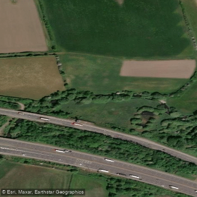
River Blythe
- Boat Ramps
- 0
- Access Points
- 0
- Campsites
- 1
The River Blyth in Suffolk is a tidal estuary offering a straightforward out-and-back paddle between Walberswick and Blythburgh, covering approximately 8 miles round trip. The character of the paddle is typical of a Suffolk estuary, with open and potentially exposed stretches that require paddlers to be prepared for variable conditions. The route is considered suitable for intermediate paddlers of at least 2-star level, and is not recommended for those in short play boats. Longer touring or sea kayaks are more appropriate given the distance and exposure.
Tidal planning is essential on this stretch. The estuary is tidal, and trip timing should be coordinated around local tide times, with Southwold used as the reference point for high water calculations.
A car park is available at the end of the B1387, the road running to and through Walberswick from the A12. Paddlers should follow the main road until it approaches the river, where parking is available on either side. A small slipway just downstream of the passenger ferry crossing serves as the launch point. A parking charge may apply at Walberswick.
Given the exposed nature of the estuary and the distance involved, appropriate layered clothing for cold and wet conditions is advisable, along with food, a flask, and spare dry clothing. The route is not considered suitable for novice paddlers or those unable to sustain the full distance.
Water access, boat ramps & amenities
Learn how to get on River Blythe. Uncover great paddling access points, boat ramps, and all the facilities you need for an unforgettable day on the water. Some locations shown may border or include private property. Always check property boundaries and applicable regulations before visiting. PaddleWays's Public & Private Land layer can help you plan your access with confidence.
Paddle smarter with real-time insights
Whether you're en route and conditions shift or you're looking for the best spot based on current flows, we enable you to make informed decisions on the fly.








Find Places to Paddle

Over 400,000 Places to Paddle
Every user gets free access to launch points, boat ramps, and public property parcels.


Water and weather conditions (10 day forecast)
See the best times to paddle River Blythe and check the forecast before you go.
Cheswick Green
All Flow Stations
Paddling near River Blythe
Explore England waters
Top paddling waters
No waters available right now.
Popular Cities
Loading popular cities...
Explore near River Blythe
Access points
Nearby waters
More in England

Smarter Paddling Starts in the App.
Paddleways gives you everything you need to plan smarter, paddle better, and own every trip from first launch to takeout.