River Trent
River Trent
- Boat Ramps
- 7
- Access Points
- 10
- Campsites
- 5
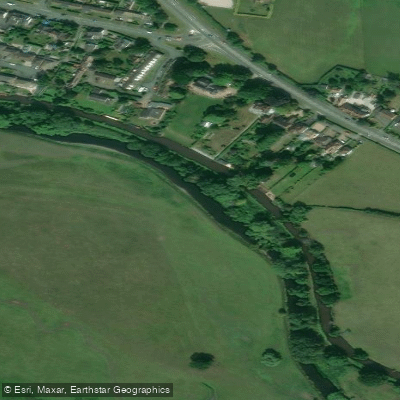
The River Trent is the third longest river in the UK at 185 miles, rising in the Staffordshire moors and flowing through much of the Midlands before joining the River Ouse and entering the North Sea via the Humber Estuary. It passes through major urban centres including Stoke-on-Trent and Nottingham, and the paddleable section runs approximately 94.8 miles. The river is graded 1, rising to grade 2 in parts during high water, making it broadly accessible to paddlers of varying experience levels.
A waterways licence is required to paddle the Trent, as it is a Statutory Navigation. Paddle UK membership includes a licence covering this and other waterways in England and Wales. The licensed section runs from Gainsborough to Wilden Ferry. Below Gainsborough the river becomes tidal, and there is no speed limit on this lower tidal stretch. Paddlers venturing onto the tidal section are advised to treat it with appropriate caution, particularly around bends.
Several established routes and access points exist along the river. In Nottingham, a popular 9.3-mile loop departs from the City Ground near Trent Bridge, crosses the river to Meadow Lane Lock, joins the Nottingham and Beeston Canal through the city centre, and returns via the River Trent after Beeston Lock, passing Wilford Church and Trent Bridge. The route takes approximately three hours and involves portages at locks. Victoria Embankment off London Road (A60) is another commonly used launch point in Nottingham, with parking close to the water. Hazards on the Nottingham stretch include submerged rocks near the launch at the City Ground, and shallow sections at low water levels, particularly toward the right bank. The flow can be felt for roughly half a mile below Beeston Weir.
Further upstream, the upper Trent between Stoke-on-Trent and Stone passes through open fields and countryside, though the river can be very shallow in this section and higher rainfall improves conditions. The Trent Valley Paddle Trail guide provides detailed information on routes, distances, access points, toilets, and points of interest throughout the valley. The river corridor supports a variety of wildlife, flora, and fauna, and the Trent Valley is recognised for its ecological value. Facilities along the river include marinas at locations such as Farndon and Sawley, with slipways available at West Stockwith and other points.
Water access, boat ramps & amenities
Learn how to get on River Trent. Uncover great paddling access points, boat ramps, and all the facilities you need for an unforgettable day on the water. Some locations shown may border or include private property. Always check property boundaries and applicable regulations before visiting. PaddleWays's Public & Private Land layer can help you plan your access with confidence.
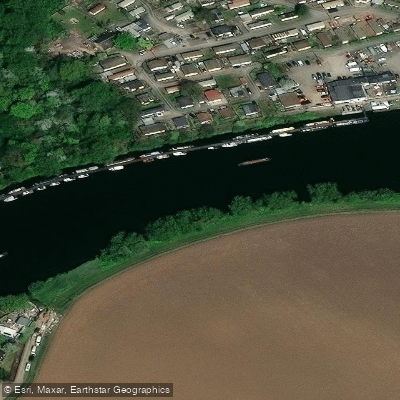
Beeston Marina
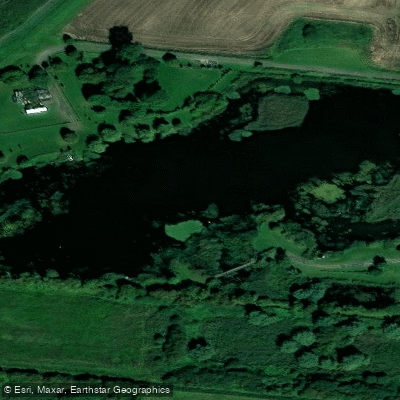
Brick Ponds
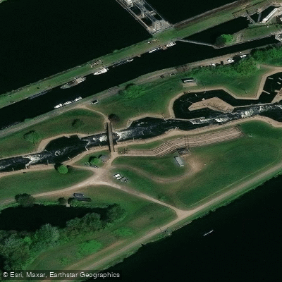
Holme Pierrepont Whitewater Course
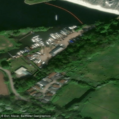
Kingfisher Wharf
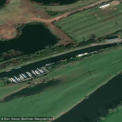
Nottingham Yacht Club
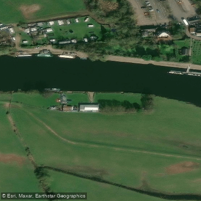
Scout Activity Centre Trent Lock
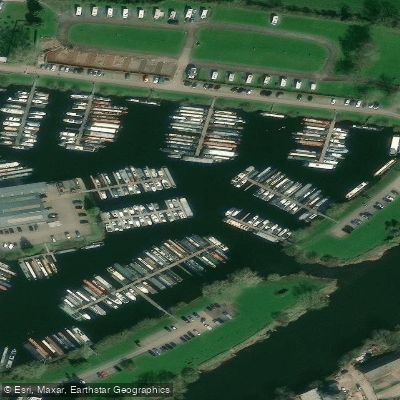
Shardlow Marina
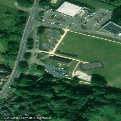
Stafford & Stone Canoe Club
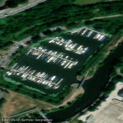
The Kings Marina
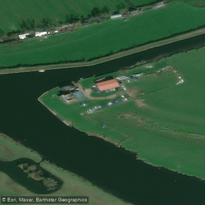
Trent Valley Sailing Club
Paddle smarter with real-time insights
Whether you're en route and conditions shift or you're looking for the best spot based on current flows, we enable you to make informed decisions on the fly.








Find Places to Paddle

Over 400,000 Places to Paddle
Every user gets free access to launch points, boat ramps, and public property parcels.


Water and weather conditions (10 day forecast)
See the best times to paddle River Trent and check the forecast before you go.
Great Haywood
All Flow Stations
Paddling near River Trent
Explore England waters
Top paddling waters
No waters available right now.
Popular Cities
Loading popular cities...
Explore near River Trent
Access points
Nearby waters
More in England

Smarter Paddling Starts in the App.
Paddleways gives you everything you need to plan smarter, paddle better, and own every trip from first launch to takeout.