River Sow

River Sow
- Boat Ramps
- 0
- Access Points
- 1
- Campsites
- 0
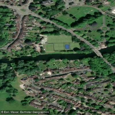
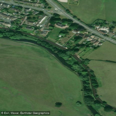
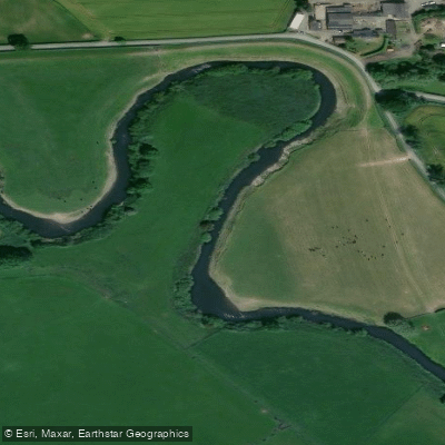
The River Sow is a tributary of the River Trent, flowing through Stafford in Staffordshire. It is a relatively short, meandering waterway, with a maximum width of around 3 metres in some stretches, giving it an intimate, enclosed character as it winds through rural countryside and past the town of Stafford.
No licence is required to paddle the River Sow. The river is generally considered suitable for beginners, with gentle bends and mild currents throughout most of its course. More experienced paddlers can seek out quieter and less accessible stretches. The River Sow Loop is a noted trail for those planning a route on this water.
The river passes through picturesque rural areas, with lush greenery along its banks. Wildlife is present throughout, and fish are commonly visible in the water. Species including Chub, Roach, Pike, Bream, Perch, and Barbel inhabit the river, with Chub reaching up to 5 lbs and Pike recorded up to 19 lbs. Anglers also use the river, particularly around weir pools and sharp bends, which are worth noting as potential points of interest or congestion for paddlers.
One notable feature along the river is a weir pool near Great Bridgeford Hall Farm. Weirs are a standard hazard requiring assessment before running or portaging, and paddlers should approach with appropriate caution. The river can carry weed growth during summer months, while in winter the water tends to shallow up and run clear, only colouring after heavy rainfall.
The River Sow also has historical and infrastructural interest: the Staffordshire and Worcestershire Canal follows the valley of the Sow, crossing it by aqueduct in places, and there is an ongoing restoration project to re-establish a navigable link between the canal and the river into Stafford via a lock. Paddlers may encounter canal infrastructure and construction activity in the vicinity of this junction.
The confluence of the River Sow with the River Penk occurs near Stafford, where the Sow flows on toward its junction with the Trent. This broader river network provides context for those planning longer multi-day routes in the region.
Water access, boat ramps & amenities
Learn how to get on River Sow. Uncover great paddling access points, boat ramps, and all the facilities you need for an unforgettable day on the water. Some locations shown may border or include private property. Always check property boundaries and applicable regulations before visiting. PaddleWays's Public & Private Land layer can help you plan your access with confidence.
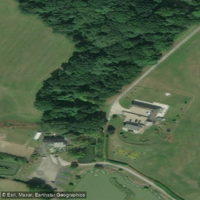
Paddle smarter with real-time insights
Whether you're en route and conditions shift or you're looking for the best spot based on current flows, we enable you to make informed decisions on the fly.








Find Places to Paddle

Over 400,000 Places to Paddle
Every user gets free access to launch points, boat ramps, and public property parcels.


Water and weather conditions (10 day forecast)
See the best times to paddle River Sow and check the forecast before you go.
Great Haywood
All Flow Stations
Paddling near River Sow

Explore England waters
Top paddling waters
No waters available right now.
Popular Cities
Loading popular cities...
Explore near River Sow
Access points
Nearby waters
More in England

Smarter Paddling Starts in the App.
Paddleways gives you everything you need to plan smarter, paddle better, and own every trip from first launch to takeout.