Paddling in Loch Lomond and The Trossachs National Park
- National Park
- Lakes
- 68
- Rivers
- 336
- Access
- 11
- Boat Ramps
- 0
- Shops
- 0
Scotland's first national park holds a remarkable concentration of water. Loch Lomond and The Trossachs sits less than an hour from Glasgow, yet its interior is genuinely wild — a landscape shaped more by lochs and rivers than by roads.
The park contains 22 lochs and a network of rivers draining the southern Highlands, giving paddlers a range of water types within a compact geography. Loch Lomond anchors the paddling.
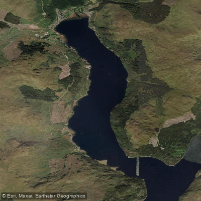
At 24 miles long, it is the largest inland stretch of water in Britain, and the Highland Boundary Fault crossing it east to west means the northern end feels categorically different from the southern — narrower, deeper, more exposed.
The loch's many islands create sheltered bays and tight passages worth exploring by kayak or canoe, and Luss on the western shore is an established put-in point.
The southern basin is busier in summer; the northern reaches demand more respect for wind and fetch. The Trossachs to the east of the loch hold quieter water.
Lochs Katrine, Achray, and Chon sit among forested hillsides and offer calmer paddling away from the main tourist corridor.
For those who want moving water, the rivers draining into and out of the park — the Teith, the Dochart, the Endrick Water — carry Highland rainfall down through varied terrain.
Levels matter on these rivers; they respond quickly to rain and can run very differently across seasons.
One park-specific rule shapes any multi-day trip: camping byelaws cover certain lochshores within Camping Management Zones from 1 March through 30 September. During those months, a permit is required to camp in those zones.
The park authority issues permits and holds current details — check directly before planning an overnight paddle. The water here is real Highland water. Cold, fast to change, and indifferent to the calendar. That's not a warning so much as the whole point.
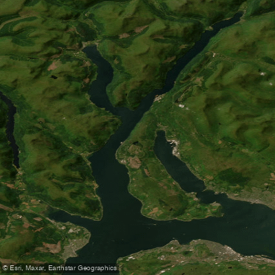
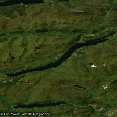
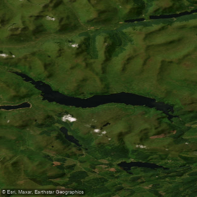
Top waters to paddle near Loch Lomond And The Trossachs National Park
Water and weather conditions (10 day forecast)
See the best times to paddle Loch Lomond and The Trossachs National Park and check the forecast before you go.
No forecast data available.
Paddle smarter with real-time insights
Whether you're en route and conditions shift or you're looking for the best spot based on current flows, we enable you to make informed decisions on the fly.







Paddling near Loch Lomond and The Trossachs National Park
Loading...
Gateway towns
Where to base yourself for paddling in Loch Lomond and The Trossachs National Park.
- BallochWest Dunbartonshire
The park's southern gateway, with loch cruises, water sports, Loch Lomond Shores, and direct train links from Glasgow.
- CallanderStirling
Main base for the Trossachs area, on the park's eastern edge, with shops, accommodation, and easy access to trails and lochs.
- DrymenStirling
Village gateway to the eastern shores of Loch Lomond and a key staging point on the West Highland Way.
- TyndrumStirling
Transport hub in the Breadalbane area serving hillwalkers, with road and rail connections into the park's northern reaches.
Explore Loch Lomond and The Trossachs National Park
Top paddling waters
Popular Cities
Loading popular cities...

Smarter Paddling Starts in the App.
Paddleways gives you everything you need to plan smarter, paddle better, and own every trip from first launch to takeout.