Loch Tay
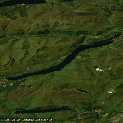
Loch Tay
- Boat Ramps
- 1
- Access Points
- 2
- Campsites
- 3
Loch Tay is located in the historic central region of Breadalbane in the Central Highlands of Scotland, in Perthshire. It is the largest loch in Perthshire and one of the deepest freshwater lochs in Scotland. The loch stretches approximately 15 miles (24 km) in length, oriented broadly east to west, with the River Tay flowing out from its eastern end at Kenmore and several tributaries entering from the west near Killin. The north shore is flanked by the Ben Lawers mountain range, much of which is designated as a National Nature Reserve.
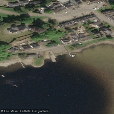
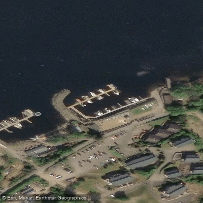
The loch offers flat-water paddling throughout its length, making it accessible to a wide range of skill levels. The eastern end near Kenmore is a popular launch point, with a beach accessible from a lay-by along the A827 from Aberfeldy. The western end near Killin also provides access, including a stretch upstream under a bridge where the River Lochay enters the loch. Taymouth Marina at Kenmore offers berthing and launching facilities, with a launching fee of £20. Loch Tay Highland Lodges, located on the north shore near Killin, serves as another base for paddling activities.
The western end of the loch features small islands that provide camping opportunities and are home to local beavers. The loch also contains a number of crannogs — artificial Iron Age islands constructed by dropping rocks to build platforms, upon which timber houses were built on stilts. A crannog site and interpretive centre on the loch allows paddlers to explore this prehistoric heritage. One crannog is located near Loch Tay Highland Lodges. An ancient stone circle is also present in the area.
Wildlife of interest includes ospreys and sea eagles, which have been observed along the loch. The RAF has used the loch as a training venue, so occasional low-flying aircraft are possible.
Wind can be a significant factor on the loch given its length and orientation; paddlers have reported working into headwinds for extended periods. The loch connects westward to the upper Tay river system and eastward to the River Tay proper, which includes moving water and rapids downstream of Kenmore, making multi-day touring routes possible. Guided paddleboarding and canoeing sessions are available from April to October, suggesting these months represent the primary paddling season.
Water access, boat ramps & amenities
Learn how to get on Loch Tay. Uncover great paddling access points, boat ramps, and all the facilities you need for an unforgettable day on the water. Some locations shown may border or include private property. Always check property boundaries and applicable regulations before visiting. PaddleWays's Public & Private Land layer can help you plan your access with confidence.
Paddle smarter with real-time insights
Whether you're en route and conditions shift or you're looking for the best spot based on current flows, we enable you to make informed decisions on the fly.







Scotland licenses and regulations

Find Places to Paddle

Over 400,000 Places to Paddle
Every user gets free access to launch points, boat ramps, and public property parcels.


Water and weather conditions (10 day forecast)
See the best times to paddle Loch Tay and check the forecast before you go.
No forecast data available.
Paddling near Loch Tay
River Avon
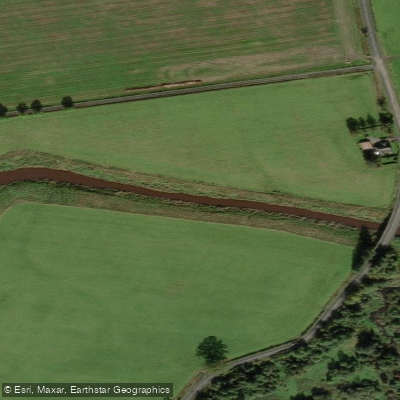
River Forth
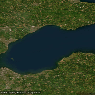
Firth of Forth
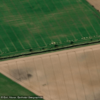
River Eden
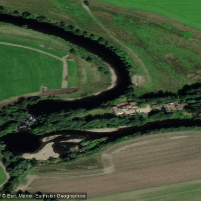
River Earn
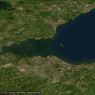
Kinghorn to Leith Docks
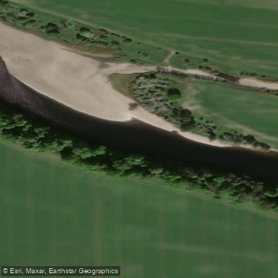
River Tay
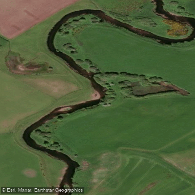
Allan Water
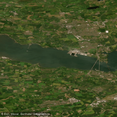
Lower Forth Estuary
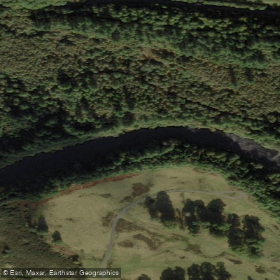
River Teith
Explore Scotland waters
Top paddling waters
No waters available right now.
Popular Cities
Loading popular cities...
Explore near Loch Tay

Smarter Paddling Starts in the App.
Paddleways gives you everything you need to plan smarter, paddle better, and own every trip from first launch to takeout.