Cramond
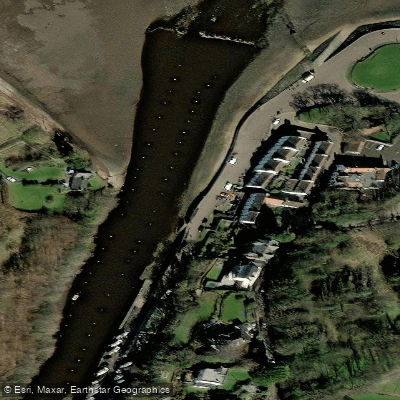
Cramond
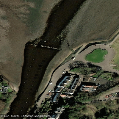
Cramond sits at the mouth of the River Almond where it drains into the Firth of Forth, making it a natural access point for exploring both the river and the wider shoreline.
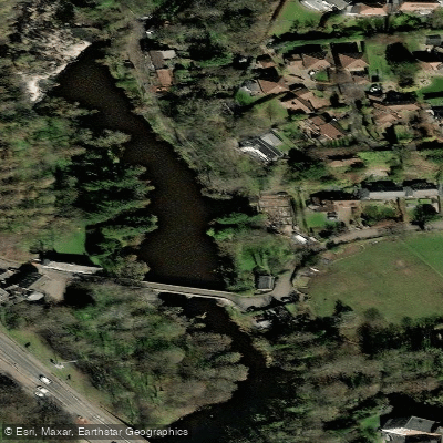
The village serves as the starting point for the River Almond Walkway, a popular route that follows the riverbank upstream and offers good opportunities to spot wildlife including ducks, grebes, and the distinctive Dipper.
From Cramond, walkers can also reach Cramond Island at low tide via a causeway, or head west along the coastal path toward Queensferry, passing landmarks such as Hunter's Crag, Snab Point, and Dalmeny House.
The surrounding geology reflects the river's passage through Carboniferous sedimentary rocks and the Midland Valley Sill, formed by ancient igneous intrusions some 330 million years ago.
Nearby points of interest
Find excellent paddling spots, easy access to boat ramps, and all the amenities you need for a memorable day. Your adventure starts here.
Water and weather conditions (10 day forecast)
Check the forecast at Cramond before you go paddling.
No forecast data available.
Paddling near Cramond
River Avon
River Tweed
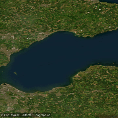
Firth of Forth
River Eden
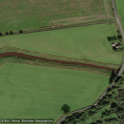
River Forth
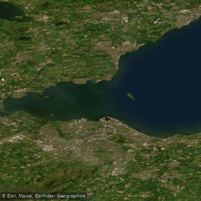
Kinghorn to Leith Docks
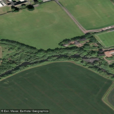
River Tyne
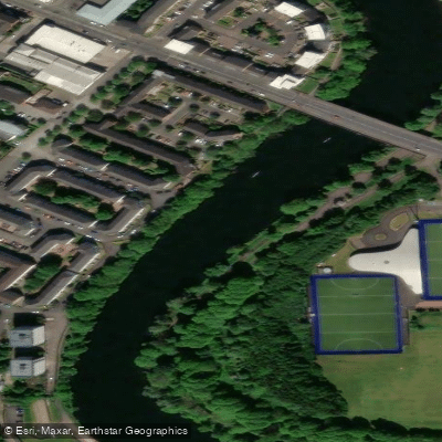
River Clyde
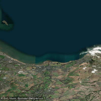
Leith Docks to Port Seton
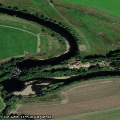
River Earn
Scotland licenses and regulations
Explore Scotland waters
Top paddling waters
No waters available right now.
Popular Cities
Loading popular cities...
Explore near Cramond
Nearby spots
Nearby waters
More in Scotland

Smarter Paddling Starts in the App.
Paddleways gives you everything you need to plan smarter, paddle better, and own every trip from first launch to takeout.