Allan Water
Allan Water
- Boat Ramps
- 0
- Access Points
- 2
- Campsites
- 0
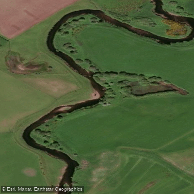
The Allan Water is a river in Scotland, flowing through Kinbuck and Dunblane before reaching Bridge of Allan, where it joins the River Forth. It is classified as a grade 3+ run, making it suitable for paddlers with solid whitewater skills. The river is known for its rocky character, with numerous rapids requiring careful line selection, particularly at lower water levels.
A common put-in is at Kinbuck, where the river begins with a relatively flat section before the gradient picks up. One of the first significant features encountered is Ashfield weir, a large drop of approximately 3 metres in height. The fish ladder on river right provides a runnable line for kayakers, while canoes are better suited to lining down. Immediately downstream, another drop follows that can be too rocky to run at lower levels, requiring portaging or lining. Further downstream, a series of rocky rapids continues to demand attention and precise paddling through to Dunblane, where the river passes through a more populated area.
The river is best paddled at adequate water levels, as low levels expose rocks and make many features unrunnable or awkward. A gauge reading of just over one metre has been noted as a workable level. Given Scotland's rainfall patterns, winter and early spring typically offer the most reliable flows. The river drains a catchment that responds relatively quickly to rainfall, so levels can change.
The Allan Water is classified as salmonid waters, supporting salmon and sea trout populations, which reflects the generally good quality of the river's habitat. The catchment has a history of industrial use, with up to 12 mill dams historically present between Kinbuck and Bridge of Allan, though the river corridor now passes through largely rural and semi-rural scenery, with wildlife including deer visible along the banks.
The Teith and the Tay are commonly cited as alternative options when the Allan Water is running too low, which gives some indication of the Allan's position within the local paddling landscape as a river that requires reasonable rainfall to be at its best.
Water access, boat ramps & amenities
Learn how to get on Allan Water. Uncover great paddling access points, boat ramps, and all the facilities you need for an unforgettable day on the water. Some locations shown may border or include private property. Always check property boundaries and applicable regulations before visiting. PaddleWays's Public & Private Land layer can help you plan your access with confidence.
Paddle smarter with real-time insights
Whether you're en route and conditions shift or you're looking for the best spot based on current flows, we enable you to make informed decisions on the fly.







Scotland licenses and regulations

Find Places to Paddle

Over 400,000 Places to Paddle
Every user gets free access to launch points, boat ramps, and public property parcels.


Water and weather conditions (10 day forecast)
See the best times to paddle Allan Water and check the forecast before you go.
Bridge Of Allan
All Flow Stations
Paddling near Allan Water
River Avon
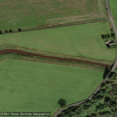
River Forth
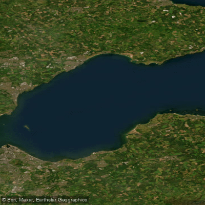
Firth of Forth
River Eden
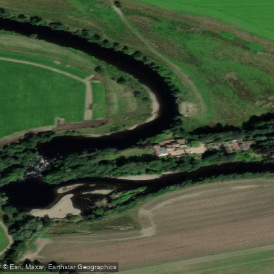
River Earn
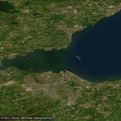
Kinghorn to Leith Docks
River Tay
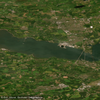
Lower Forth Estuary
River Teith
Explore Scotland waters
Top paddling waters
No waters available right now.
Popular Cities
Loading popular cities...
Explore near Allan Water
Nearby waters
More in Scotland

Smarter Paddling Starts in the App.
Paddleways gives you everything you need to plan smarter, paddle better, and own every trip from first launch to takeout.