River Tay
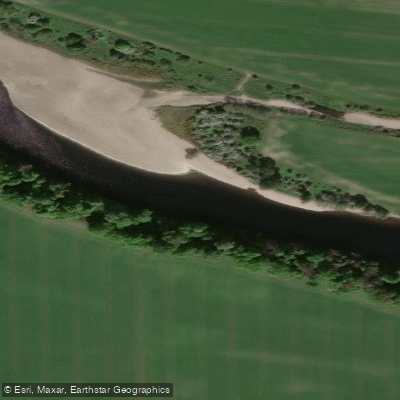
River Tay
- Boat Ramps
- 0
- Access Points
- 12
- Campsites
- 4
The River Tay (Tatha in Scottish Gaelic) is Scotland's longest river at 117 miles (188km) and the UK's 7th longest overall. It carries the highest water volume discharge of any river in Scotland, averaging 100 cubic metres per second, and remains notably high in flow for much of the year even when other rivers have dropped. The river system begins on the flanks of Ben Lui and flows east across the Highlands before becoming tidal at Perth, eventually emptying into the North Sea via the Firth of Tay south of Dundee.
The most common put-in for multi-day expeditions is at Killin on Loch Tay, which is 24km long and typically takes two days to cross. The river proper begins at Kenmore, where the outflow of Loch Tay marks the start of moving water. From Kenmore downstream to Aberfeldy, the river offers grade 1–2 rapids suitable for developing whitewater skills such as breaking in and out, ferry gliding, and wave surfing. The standout technical feature is Grandtully Rapids, home to Scotland's national whitewater training venue, rated a solid grade 3. Depending on water levels, paddlers may choose to portage here. Further downstream toward Perth, notable features include Campsie Linn, Stanley Mills, and Thistle Brig. The river becomes tidal at Perth, and the tidal section extending to the Firth of Tay contains fast-moving water that requires experience and careful timing to navigate safely.
For shorter trips, the Perth city section is popular. A small slipway on the right bank just upstream of the railway bridge serves as a convenient launch point. The route around Moncrieffe (Friarton) Island covers approximately 6.4km and is rated easy to moderate depending on tide and water level. The tidal influence means conditions can vary significantly, and tandem paddling is recommended for less experienced paddlers in this section. The Broughty Ferry section near Dundee offers sea and touring kayaking along the Firth of Tay coast, with views of the 16th-century Broughty Ferry Castle and opportunities to observe seabirds, seals, and occasionally dolphins.
The river passes through diverse Perthshire countryside, with the Ben Lawers mountain range visible to the north of Loch Tay. Ancient Crannogs (historic water-based dwellings) are visible along the loch. Wild camping along the riverbanks is a common feature of multi-day expeditions on the upper river.
Water access, boat ramps & amenities
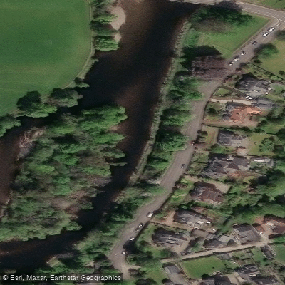
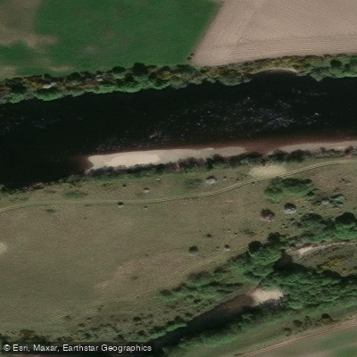
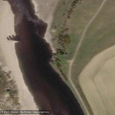
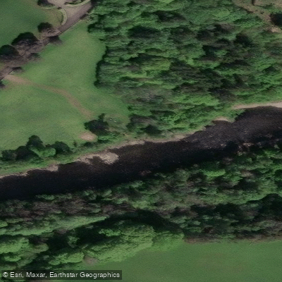
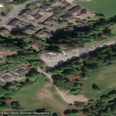
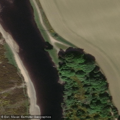
Learn how to get on River Tay. Uncover great paddling access points, boat ramps, and all the facilities you need for an unforgettable day on the water. Some locations shown may border or include private property. Always check property boundaries and applicable regulations before visiting. PaddleWays's Public & Private Land layer can help you plan your access with confidence.
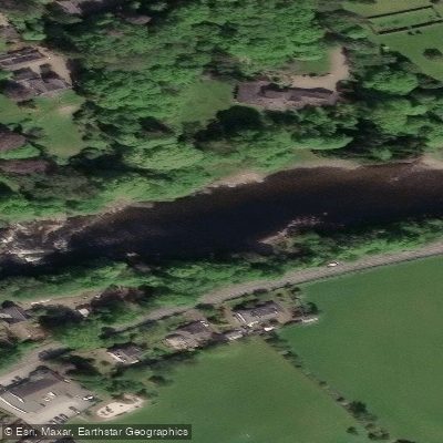
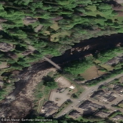
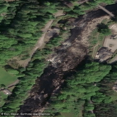
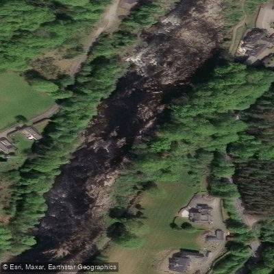
Paddle smarter with real-time insights
Whether you're en route and conditions shift or you're looking for the best spot based on current flows, we enable you to make informed decisions on the fly.







Scotland licenses and regulations

Find Places to Paddle

Over 400,000 Places to Paddle
Every user gets free access to launch points, boat ramps, and public property parcels.


Water and weather conditions (10 day forecast)
See the best times to paddle River Tay and check the forecast before you go.
Pitnacree
All Flow Stations
Paddling near River Tay
River Eden
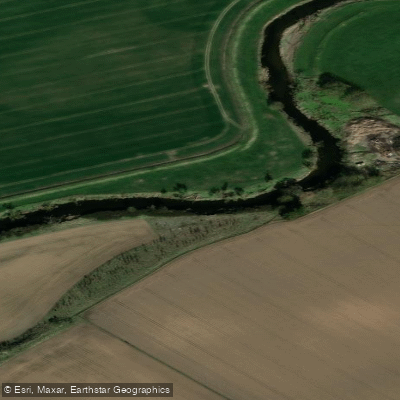
River Isla
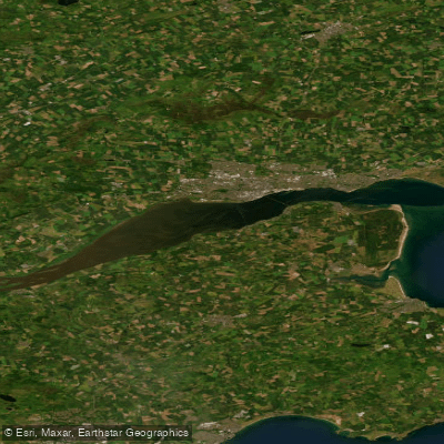
Firth of Tay
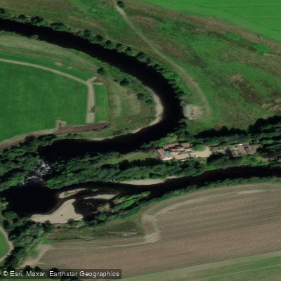
River Earn
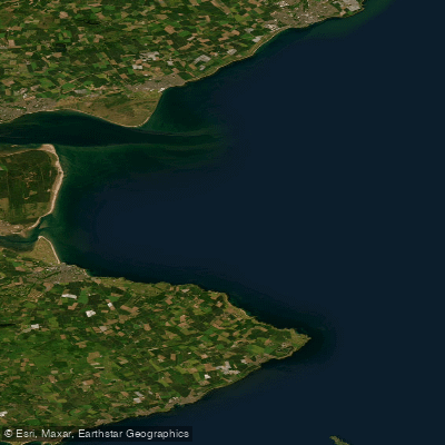
Carnoustie to Fife Ness
River Ericht
River Garry
Lower Tay Estuary
Allan Water
Explore Scotland waters
Top paddling waters
No waters available right now.
Popular Cities
Loading popular cities...
Explore near River Tay
Access points
Nearby waters
More in Scotland

Smarter Paddling Starts in the App.
Paddleways gives you everything you need to plan smarter, paddle better, and own every trip from first launch to takeout.