Firth of Tay
- Saltwater
- Sound
Firth of Tay
- Saltwater
- Sound
- Sq. miles
- 38
- Boat Ramps
- 0
- Access Points
- 1
- Campsites
- 2
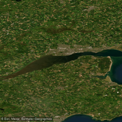
The Firth of Tay is the extensive tidal estuary where Scotland's longest river, the River Tay, meets the North Sea on the east coast. This saltwater sound stretches from Perth, where the river becomes tidal, past the city of Dundee on its north bank, and out to the open sea. The estuary is characterized by fast-moving tidal currents, and paddling the entire section on an outgoing tide is a lengthy undertaking, navigable only by experienced paddlers who understand the conditions. A primary access point for coastal paddling is Broughty Ferry Beach, located just outside Dundee, which serves as a launch site for exploring the Firth. The area near Newburgh on the southern shore also features moorings and coastal activity. The Firth is exposed to the North Sea, meaning paddlers must contend with significant wind exposure and fetch. Major hazards include the powerful tidal currents and the potential for substantial boat traffic, given the presence of Dundee and the channel's use for navigation. The aesthetic is one of a broad, working estuary with views of coastal communities, historic structures like the Tay Rail and Road Bridges, and the open sea. The experience is suited for skilled paddlers seeking a challenging coastal journey, often undertaken as the culmination of a multi-day trip down the River Tay, with destinations like Broughty Ferry marking a logical endpoint.
Water access, boat ramps & amenities
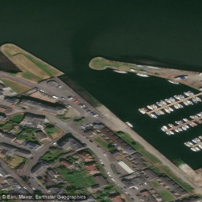
Learn how to get on Firth of Tay. Uncover great paddling access points, boat ramps, and all the facilities you need for an unforgettable day on the water. Some locations shown may border or include private property. Always check property boundaries and applicable regulations before visiting. PaddleWays's Public & Private Land layer can help you plan your access with confidence.
Paddle smarter with real-time insights
Whether you're en route and conditions shift or you're looking for the best spot based on current flows, we enable you to make informed decisions on the fly.







Scotland licenses and regulations

Find Places to Paddle

Over 400,000 Places to Paddle
Every user gets free access to launch points, boat ramps, and public property parcels.


Tides, wind & water conditions (10 day forecast)
On open water, wind and tide matter as much as the weather. See the best times to paddle Firth of Tay and check the marine forecast before you launch.
Loading tide predictions…
Paddling near Firth of Tay
River Eden
River Isla
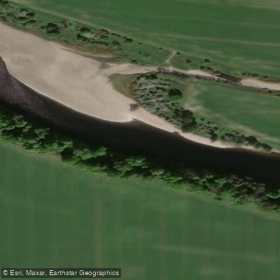
River Tay
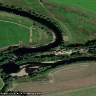
River Earn
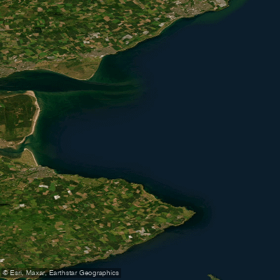
Carnoustie to Fife Ness
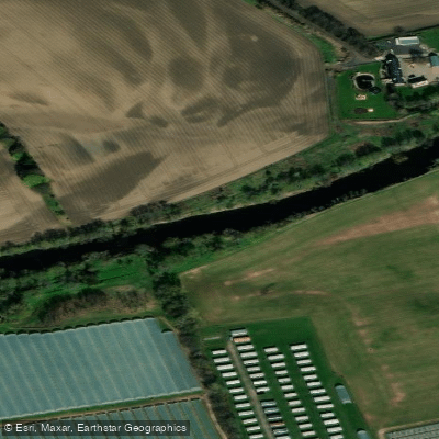
River Ericht
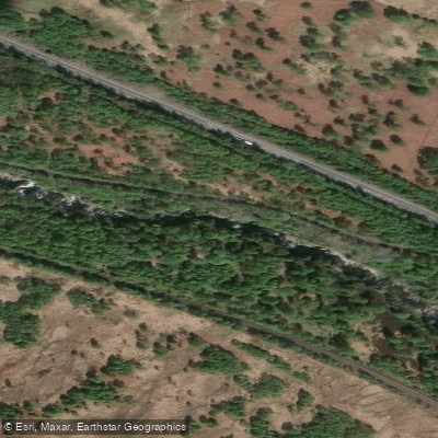
River Garry
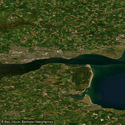
Lower Tay Estuary
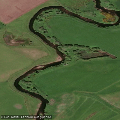
Allan Water
Explore Scotland waters
Top paddling waters
No waters available right now.
Popular Cities
Loading popular cities...
Explore near Firth of Tay

Smarter Paddling Starts in the App.
Paddleways gives you everything you need to plan smarter, paddle better, and own every trip from first launch to takeout.