River Isla
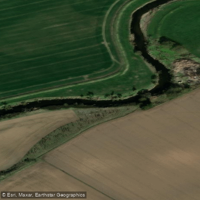
River Isla
- Boat Ramps
- 0
- Access Points
- 1
- Campsites
- 1
The River Isla (Scottish Gaelic: Abhainn Ìle) is a tributary of the River Tay, running approximately 46 miles (74 km) through Kirkton of Glenisla and Strathmore in Angus and Perthshire, Scotland. The river drains into the Tay and passes through agricultural lowlands as well as wooded stretches, offering varied paddling character along its length.
One documented touring section runs approximately 11 km between Meigle and Couttie Bridge near Coupar Angus in Tay Country, Perthshire. This stretch is rated moderate in difficulty and is suitable for paddlers with some prior kayaking experience; it is considered appropriate for ages 12 and up. The first roughly 3 km of this section passes through forested terrain with numerous meanders and tree-lined banks, followed by a slower, more open stretch of river for the remaining distance to the takeout.
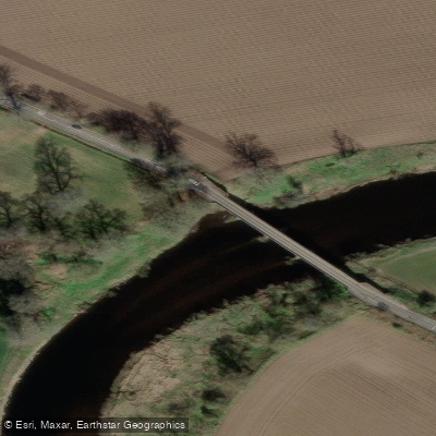
The put-in for this section is near Meigle, and the takeout is at a small layby on the southeast edge of Couttie Bridge. The layby is accessed via the A923 road from Blairgowrie toward Coupar Angus; after crossing the bridge, the layby is on the left. Paddlers are advised not to block the farmer's access at this point.
The wooded upper portion of this section is known habitat for kingfishers, beavers, and otters. The river is prone to flooding in winter, which can result in river blockages such as fallen trees or debris that paddlers may need to navigate around or portage.
Paddlers should come prepared with warm, non-cotton clothing and footwear suitable for getting wet. Dry bags are recommended for carrying spare layers, food, camera equipment, and medications. Given the river's flood-prone nature in winter, conditions and potential obstructions are worth considering when planning a trip during that season.
Water access, boat ramps & amenities
Learn how to get on River Isla. Uncover great paddling access points, boat ramps, and all the facilities you need for an unforgettable day on the water. Some locations shown may border or include private property. Always check property boundaries and applicable regulations before visiting. PaddleWays's Public & Private Land layer can help you plan your access with confidence.
Paddle smarter with real-time insights
Whether you're en route and conditions shift or you're looking for the best spot based on current flows, we enable you to make informed decisions on the fly.







Scotland licenses and regulations

Find Places to Paddle

Over 400,000 Places to Paddle
Every user gets free access to launch points, boat ramps, and public property parcels.


Water and weather conditions (10 day forecast)
See the best times to paddle River Isla and check the forecast before you go.
Wester Cardean
Paddling near River Isla
River Eden
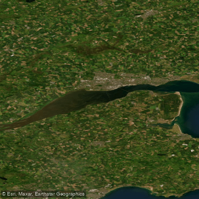
Firth of Tay
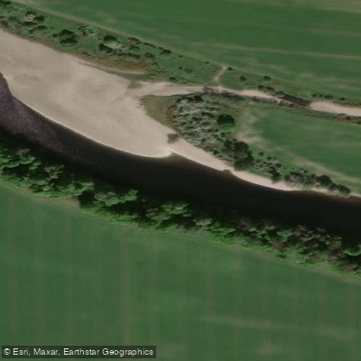
River Tay
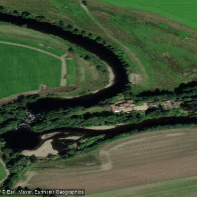
River Earn
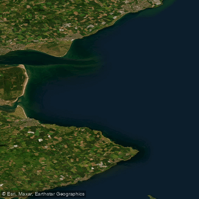
Carnoustie to Fife Ness
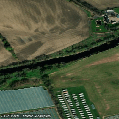
River Ericht
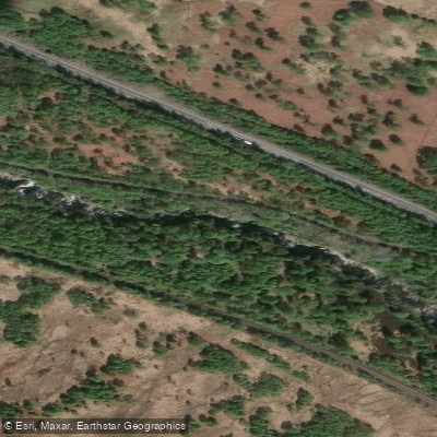
River Garry
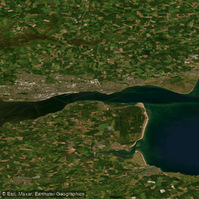
Lower Tay Estuary
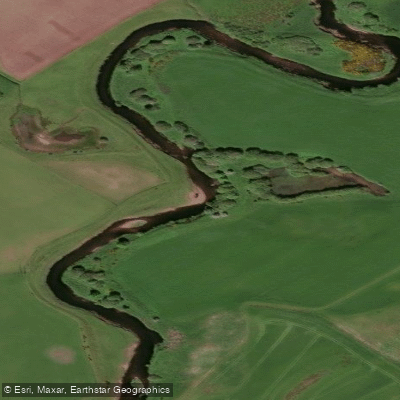
Allan Water
Explore Scotland waters
Top paddling waters
No waters available right now.
Popular Cities
Loading popular cities...
Explore near River Isla

Smarter Paddling Starts in the App.
Paddleways gives you everything you need to plan smarter, paddle better, and own every trip from first launch to takeout.