River Ericht
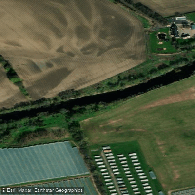
River Ericht
- Boat Ramps
- 0
- Access Points
- 3
- Campsites
- 0
The River Ericht flows through Perthshire in Scotland's Central Highlands, passing through the town of Blairgowrie before joining the River Tay system. The classic whitewater section runs approximately 5km and is typically completed in one to two hours, graded 2/3 with one grade 5 rapid. A SEPA gauge on the river indicates minimum paddleable levels; anything above 0.9m is considered sufficient flow.
The put-in for the upper whitewater section is accessed from an old section of the A93, approximately two miles north of Blairgowrie. The road is now gated but has an unlocked gate with an SCA sign roughly 20 metres in. The road is no longer maintained, so expect trees, mud, and debris. Park in the layby 100 metres north of the closed metal bridge. Getting to the water involves a steep, muddy 50-metre scramble down to a small eddy; ropes are recommended for lowering boats. The standard take-out is above the Keithbank mill weir.
The most significant hazard on the river is Cargill's Leap, a grade 5 rapid featuring two narrow channels, both with hard recirculation below. The top channel has a chicken shoot on river right, but it leads directly into the recirculation, which pushes paddlers onto a stone bank. Cargill's Leap has claimed at least one fatality, a paddler researching for the SCA's Scottish White Water guidebook. The Keithbank mill weir is steep and best avoided; the normal take-out is positioned above it. A portage around Cargill's Leap is possible on river right.
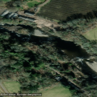
The river passes through a dramatic gorge roughly three miles upstream of Blairgowrie, with cliff walls rising approximately 20 metres, a semi-open cave feature, and Craighall Castle perched on the cliff above. The gorge section is considered one of the more visually striking stretches, with waterfalls entering from the sides and notable rock formations throughout.
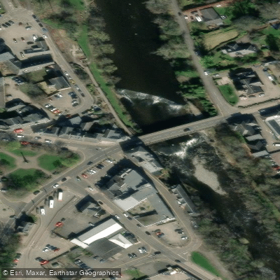
A lower, more accessible section begins below the road bridge in Blairgowrie, involving small rapids in the first few kilometres before transitioning to mellow meanders downstream of the Kitty Swanson footbridge. This section runs to Couttie Bridge on the A923 toward Coupar Angus, where a small layby on the southeast edge of the bridge serves as a take-out. This lower section is rated moderate and is suitable for paddlers with some experience, recommended for ages 12 and up.
The river is an important salmon spawning tributary and is designated part of a European Special Area of Conservation for salmon.
Water access, boat ramps & amenities
Learn how to get on River Ericht. Uncover great paddling access points, boat ramps, and all the facilities you need for an unforgettable day on the water. Some locations shown may border or include private property. Always check property boundaries and applicable regulations before visiting. PaddleWays's Public & Private Land layer can help you plan your access with confidence.
Paddle smarter with real-time insights
Whether you're en route and conditions shift or you're looking for the best spot based on current flows, we enable you to make informed decisions on the fly.







Scotland licenses and regulations

Find Places to Paddle

Over 400,000 Places to Paddle
Every user gets free access to launch points, boat ramps, and public property parcels.


Water and weather conditions (10 day forecast)
See the best times to paddle River Ericht and check the forecast before you go.
Craighall (Perth)
Paddling near River Ericht
River Eden
River Isla
Firth of Tay
River Tay
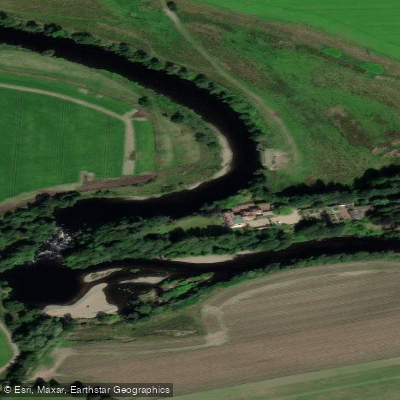
River Earn
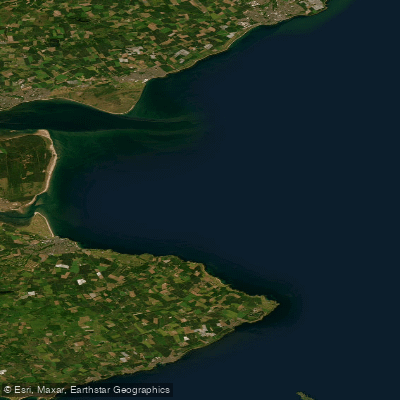
Carnoustie to Fife Ness
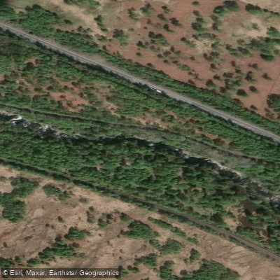
River Garry
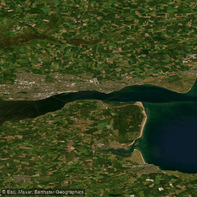
Lower Tay Estuary
Allan Water
Explore Scotland waters
Top paddling waters
No waters available right now.
Popular Cities
Loading popular cities...
Explore near River Ericht
Access points
Nearby waters
More in Scotland

Smarter Paddling Starts in the App.
Paddleways gives you everything you need to plan smarter, paddle better, and own every trip from first launch to takeout.