Afon Mawddach
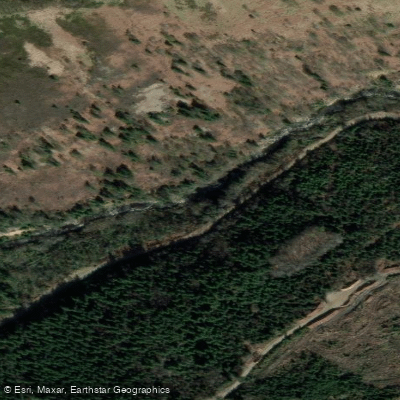
Afon Mawddach
- Boat Ramps
- 0
- Access Points
- 0
- Campsites
- 3
The Afon Mawddach rises north of Dduallt in Snowdonia and flows westward through spectacular mountain terrain before forming a wide, sandy estuary that meets the sea at Barmouth. The catchment is bounded to the east by the Aran Fawddwy massif and to the west and north by the Harlech dome, giving the river a dramatic mountain backdrop throughout its length. The estuary stretches roughly 8 miles from Dolgellau to Barmouth, where the Barmouth railway bridge marks the tidal mouth.
The estuary is the most accessible and well-documented section for paddlers. A circular paddle route of approximately 2.25 miles can be completed in 1 to 1.5 hours with no portages required. Tidal assistance is available if the trip is timed correctly, making this a relatively straightforward outing. Canoeing, kayaking, and paddleboarding are all permitted on the estuary route. The surrounding landscape includes mountains on both sides, and the estuary has historical significance as a centre of shipbuilding from at least the 18th century, with gold panning having taken place further upriver at Coed-y-Brenin.
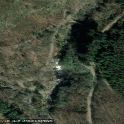
The upper river above the estuary has a more technical whitewater character, with gorge sections and notable features including Rhaeadr Mawddach waterfall. Video documentation shows paddlers running this section at gauge levels around 1.2. However, paddlers should be aware that access to at least one upper stretch — between the Eden confluence and grid reference 730234 — has been flagged by the Welsh Environmental Agency as having no paddling access. Anyone planning to paddle the upper river should verify current access arrangements before putting on.
The river supports an active salmon and trout fishery, and European seabass are present in the tidal reaches. The estuary is popular with kayakers during summer months. The Mawddach Trail, a traffic-free walking and cycling route, runs along the southern bank of the estuary between Dolgellau and Morfa Mawddach, providing useful context for shuttle logistics.
Water access, boat ramps & amenities
Learn how to get on Afon Mawddach. Uncover great paddling access points, boat ramps, and all the facilities you need for an unforgettable day on the water. Some locations shown may border or include private property. Always check property boundaries and applicable regulations before visiting. PaddleWays's Public & Private Land layer can help you plan your access with confidence.
Paddle smarter with real-time insights
Whether you're en route and conditions shift or you're looking for the best spot based on current flows, we enable you to make informed decisions on the fly.








Find Places to Paddle

Over 400,000 Places to Paddle
Every user gets free access to launch points, boat ramps, and public property parcels.


Water and weather conditions (10 day forecast)
See the best times to paddle Afon Mawddach and check the forecast before you go.
Mawddach At Tyddyn Gwladys
Paddling near Afon Mawddach
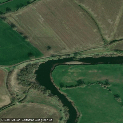
River Dee
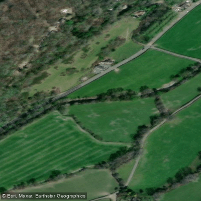
Afon Ceiriog
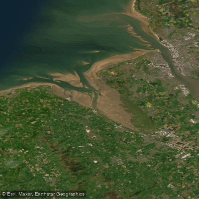
Dee (N. Wales)
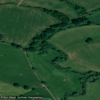
River Weaver
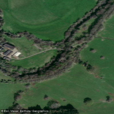
Afon Tanat

MERSEY
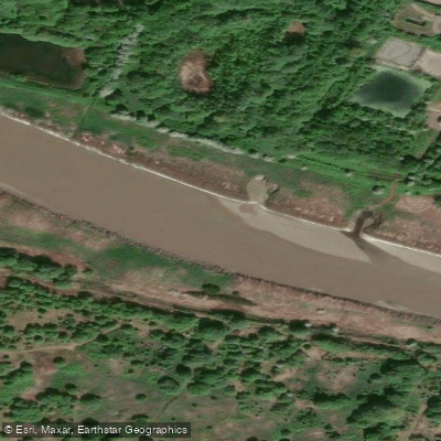
River Mersey
Afon Efyrnwy
Mersey Mouth
Afon Hafren
Explore Wales waters
Top paddling waters
No waters available right now.
Popular Cities
Loading popular cities...
Explore near Afon Mawddach

Smarter Paddling Starts in the App.
Paddleways gives you everything you need to plan smarter, paddle better, and own every trip from first launch to takeout.