Cardigan Bay South
- Saltwater
- Bay
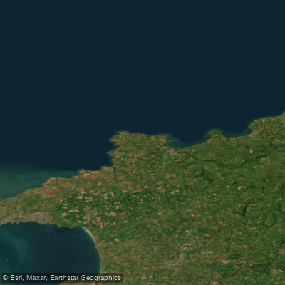
Cardigan Bay South
- Saltwater
- Bay
- Sq. miles
- 63
- Boat Ramps
- 0
- Access Points
- 0
- Campsites
- 2
Cardigan Bay South is a coastal bay within the Pembrokeshire region of Wales, forming the southern section of the larger Cardigan Bay. This marine area is characterized by a significant tidal range, which must be a primary consideration for paddlers. Launch and take-out points are available at coastal towns and villages along its shore, such as Fishguard, which consists of a Lower Town area with a historic harbour. The bay is exposed to prevailing winds from the southwest and west, generating considerable fetch that can lead to challenging sea conditions, especially for small craft. The area experiences significant commercial and recreational boat traffic, including fishing vessels and ferries operating from ports like Fishguard, requiring paddlers to maintain situational awareness and likely cross designated shipping channels. The coastline features numerous beaches, some of which may have surf zones that affect entry and exit. The water body is known for its wildlife, including seals, puffins, and porpoises. The surrounding coast is dotted with seaside towns and offers scenic views. Water quality in the Cardigan Bay South area has been assessed as "good" according to recent environmental reports. Paddlers should be prepared for cool to cold water temperatures typical of the Celtic Sea, with seasonal variations. Specific regulations may apply, particularly concerning marine conservation areas within the bay, and paddlers should consult local authorities for the latest guidance.
Water access, boat ramps & amenities
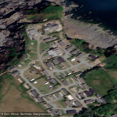
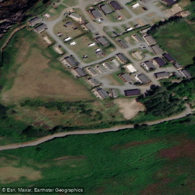
Learn how to get on Cardigan Bay South. Uncover great paddling access points, boat ramps, and all the facilities you need for an unforgettable day on the water. Some locations shown may border or include private property. Always check property boundaries and applicable regulations before visiting. PaddleWays's Public & Private Land layer can help you plan your access with confidence.
Paddle smarter with real-time insights
Whether you're en route and conditions shift or you're looking for the best spot based on current flows, we enable you to make informed decisions on the fly.








Find Places to Paddle

Over 400,000 Places to Paddle
Every user gets free access to launch points, boat ramps, and public property parcels.


Tides, wind & water conditions (10 day forecast)
On open water, wind and tide matter as much as the weather. See the best times to paddle Cardigan Bay South and check the marine forecast before you launch.
Loading tide predictions…
Paddling near Cardigan Bay South
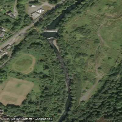
Afon Tawe
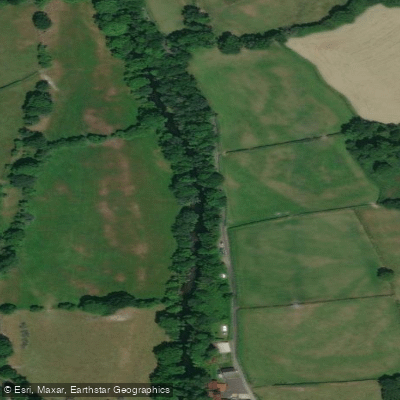
Afon Tywi
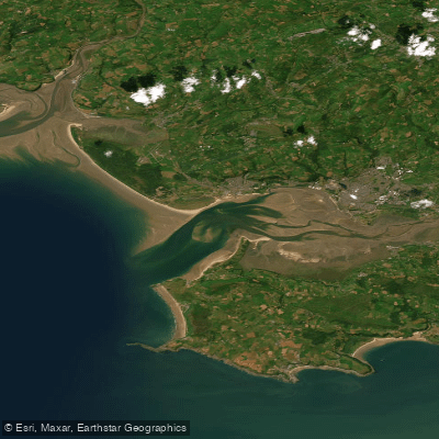
Burry Inlet Outer
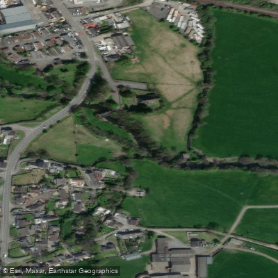
River Taf
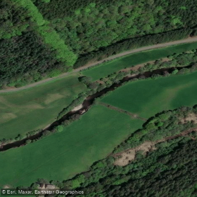
Afon Cothi

Bristol Channel
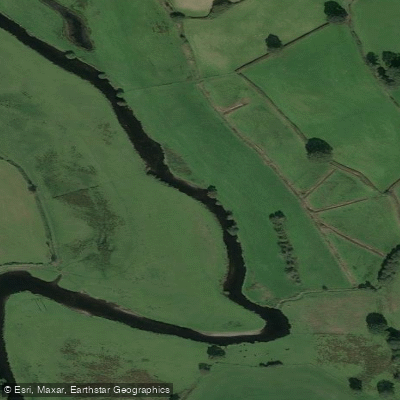
Afon Teifi
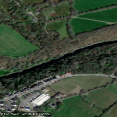
Afon Teifi
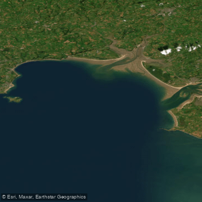
Carmarthen Bay
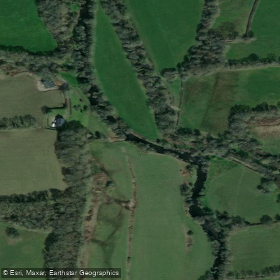
Eastern Cleddau
Explore Wales waters
Top paddling waters
No waters available right now.
Popular Cities
Loading popular cities...
Explore near Cardigan Bay South

Smarter Paddling Starts in the App.
Paddleways gives you everything you need to plan smarter, paddle better, and own every trip from first launch to takeout.