Glaslyn
- Saltwater
- Estuary
Glaslyn
- Saltwater
- Estuary
- Sq. miles
- 6
- Boat Ramps
- 0
- Access Points
- 0
- Campsites
- 0
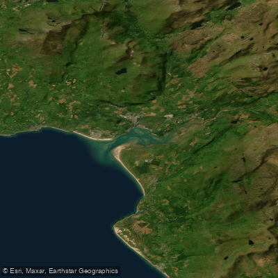
The Glaslyn is a river system in Snowdonia, Gwynedd, with distinct upper and lower sections offering different paddling experiences. The upper river, particularly near Pont Aberglaslyn, features fast-flowing rapids and a gorge, suitable for experienced whitewater kayakers. This section requires high skill due to powerful currents, submerged boulders, and the potential for entrapment, as conditions can become dangerous, especially after rain when water levels swell. A tragic fatality has occurred here, underscoring the hazard. The river flows into Llyn Gwynant, a 113-acre natural lake on the Afon Glaslyn popular with outdoor centres. Access to Llyn Gwynant is via a private campsite at its north end, requiring a permit and a fee of £5 per boat per day, plus a day visitor charge; launching is allowed from 9am to 10pm. The river continues from the lake and is also paddled from Nantmor, where the rapids through the gorge end at Pont Afon Glaslyn, providing a fairly clear stretch. The overall character ranges from intense, technical whitewater in the upper reaches to more placid lake paddling on Llyn Gwynant, set within the dramatic mountain scenery of Snowdonia National Park. The area is a habitat for diverse wildlife, including the Glaslyn Ospreys near Pont Croesor. For lake paddling specifically, Llyn Padarn is an alternative with sheltered bays that are good for instruction when other locations are too windy, though group organisers may require a permit. Facilities for paddlers are limited and often fee-based, with specific launch points like slipways and honesty box payments at some locations.
Water access, boat ramps & amenities
Learn how to get on Glaslyn. Uncover great paddling access points, boat ramps, and all the facilities you need for an unforgettable day on the water. Some locations shown may border or include private property. Always check property boundaries and applicable regulations before visiting. PaddleWays's Public & Private Land layer can help you plan your access with confidence.
Paddle smarter with real-time insights
Whether you're en route and conditions shift or you're looking for the best spot based on current flows, we enable you to make informed decisions on the fly.








Find Places to Paddle

Over 400,000 Places to Paddle
Every user gets free access to launch points, boat ramps, and public property parcels.


Tides, wind & water conditions (10 day forecast)
On open water, wind and tide matter as much as the weather. See the best times to paddle Glaslyn and check the marine forecast before you launch.
Loading tide predictions…
Paddling near Glaslyn
River Dee
River Mersey
Dee (N. Wales)
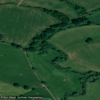
River Weaver
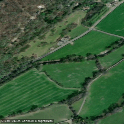
Afon Ceiriog
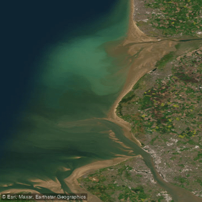
Mersey Mouth
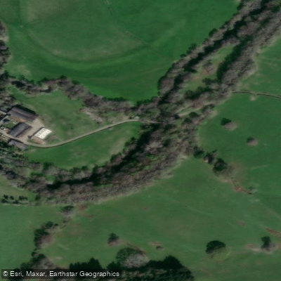
Afon Tanat
Afon Efyrnwy

MERSEY
Afon Conwy
Explore Wales waters
Top paddling waters
No waters available right now.
Popular Cities
Loading popular cities...
Explore near Glaslyn

Smarter Paddling Starts in the App.
Paddleways gives you everything you need to plan smarter, paddle better, and own every trip from first launch to takeout.