Monmouthshire and Brecon Canal
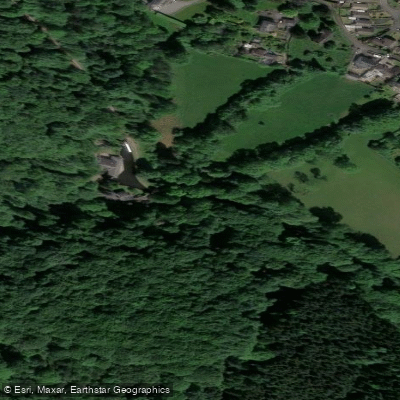
Monmouthshire and Brecon Canal
- Boat Ramps
- 6
- Access Points
- 5
- Campsites
- 2
The Monmouthshire and Brecon Canal, commonly known as the Mon & Brec, runs approximately 35–36 miles through South Wales, almost entirely within the Brecon Beacons National Park. One of its defining characteristics is that it is not connected to the main British canal network, which keeps boat traffic considerably lighter than on most other canals. The canal follows the mountainside above the River Usk valley, offering views of the Brecon Beacons, including Pen y Fan and the distinctively shaped Sugarloaf Mountain near Abergavenny. The navigable section stretches from Brecon Basin in the north to Cwmbran in the south, with a notable 23-mile lock-free stretch making it one of the longest uninterrupted cruising sections in the UK.
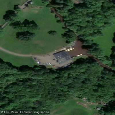
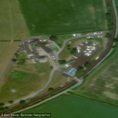
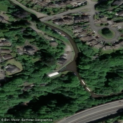
For paddlers, the full navigable length presents around 6 locks to portage over the 36 miles. Two well-documented routes are available: Brecon to Gilwern (18.5 miles, 9 portages including locks and lift bridges, estimated 5.5–10 hours) and Gilwern to Sebastopol/South Sebastopol Moorings (16.5 miles, 0 portages, estimated 4–8.5 hours). Shorter day trips are also popular, such as Brecon to Pencelli (approximately 4.5 miles for a half day) or Talybont-on-Usk to Llangattock. Access points include Brecon Basin (LD3 7EW), Gilwern Wharf (NP7 0EL), Govilon Wharf, Goytre Wharf, and South Sebastopol Moorings (NP44 1FT). The canal passes through or near the Blaenavon World Heritage Site, the Llangattock escarpment (a Site of Special Scientific Interest with an extensive cave network), historic lime kilns, and the Big Pit Mining Museum.
A waterways licence is required to paddle the canal. This is included with Paddle UK (British Canoeing) membership or can be purchased separately from the Canal and River Trust. Paddle Cymru membership also covers this waterway. Paddlers should be prepared to pull to the bank to allow narrowboats to pass, particularly during summer months when boat traffic increases. Some sections can occasionally be closed, so checking ahead is advisable.
Canoe hire is available at Goytre Wharf and through Wye Valley Canoes at Brecon. Facilities along the route include canalside pubs and cafes, with notable stops at Pencelli (Royal Oak pub), Llangynidr (Coach and Horses), and Gilwern (Towpath Inn). The canal corridor also supports wildlife interest, particularly around the Llangattock escarpment SSSI.
Water access, boat ramps & amenities
Learn how to get on Monmouthshire and Brecon Canal. Uncover great paddling access points, boat ramps, and all the facilities you need for an unforgettable day on the water. Some locations shown may border or include private property. Always check property boundaries and applicable regulations before visiting. PaddleWays's Public & Private Land layer can help you plan your access with confidence.
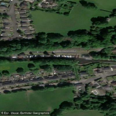
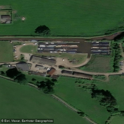
Paddle smarter with real-time insights
Whether you're en route and conditions shift or you're looking for the best spot based on current flows, we enable you to make informed decisions on the fly.








Find Places to Paddle

Over 400,000 Places to Paddle
Every user gets free access to launch points, boat ramps, and public property parcels.


Water and weather conditions (10 day forecast)
See the best times to paddle Monmouthshire and Brecon Canal and check the forecast before you go.
Usk At Llandetty
Paddling near Monmouthshire and Brecon Canal
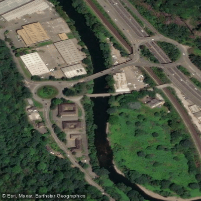
River Taff
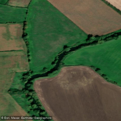
River Avon
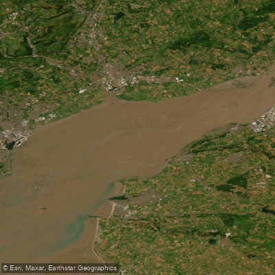
Severn Lower
Afon Gwy
Land Yeo

Bristol Channel
Congresbury Yeo
Afon Hafren
Bristol Channel Inner North
River Axe
Explore Wales waters
Top paddling waters
No waters available right now.
Popular Cities
Loading popular cities...
Explore near Monmouthshire and Brecon Canal
Access points
Nearby waters
More in Wales

Smarter Paddling Starts in the App.
Paddleways gives you everything you need to plan smarter, paddle better, and own every trip from first launch to takeout.