Pembrokeshire South
- Saltwater
- Bay
Pembrokeshire South
- Saltwater
- Bay
- Sq. miles
- 159
- Boat Ramps
- 1
- Access Points
- 0
- Campsites
- 2
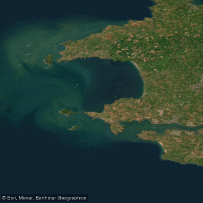
Pembrokeshire South refers to the extensive and varied coastline of southern Pembrokeshire, offering a premier sea-kayaking and paddle boarding environment. This is a rugged, saltwater coastline within the UK's only coastal national park, characterized by cliffs, secluded coves, and numerous award-winning sandy beaches. The overall character for paddlers is one of exposed, open-water conditions with significant tidal influence, requiring careful planning. Key launch and take-out points include the sandy beaches at popular resorts such as Saundersfoot and Tenby's North Beach, which provide direct access to the water. Amroth beach is another noted launch site, quieter than Saundersfoot, though access down the sea defences can be steep. These east-facing beaches like Saundersfoot and Amroth are generally more sheltered, often providing flat water ideal for beginners and families, especially at high tide when the sandy expanses are reduced. As the tide recedes, these beaches grow considerably, exposing more sand and creating different conditions.
The coastline is highly exposed to wind and swell from the Atlantic, making wind exposure and fetch significant factors. While the east-facing bays can be calm, the area is a noted birthplace of British surfing and coasteering, indicating that swell and wave action are common, particularly on westerly aspects. Paddlers must be prepared for surf zones at beach entries and exits. Tidal currents are a major consideration, with the lowest point on the adjacent Coast Path noted at only 2 meters above low water, underscoring the large tidal range. Timing trips with the tide is crucial, especially for exploring features like the Telpin headland near Amroth, which is best accessed as the tide recedes. The area is rich with wildlife, including seals around Skomer Island, and features sea caves, cliffs, and picturesque ports like Solva and Porthgain to explore. Boat traffic can be expected near harbours such as Tenby. The presence of a national park and numerous protected areas implies a need for environmental awareness. Water temperatures follow typical seasonal patterns for the UK Atlantic coast, being coldest in winter and warmest in late summer. Facilities are available in the coastal towns, including parking, though it can be scarce during peak seasons.
Water access, boat ramps & amenities
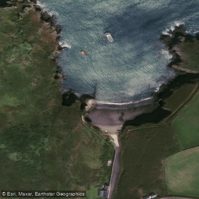
Learn how to get on Pembrokeshire South. Uncover great paddling access points, boat ramps, and all the facilities you need for an unforgettable day on the water. Some locations shown may border or include private property. Always check property boundaries and applicable regulations before visiting. PaddleWays's Public & Private Land layer can help you plan your access with confidence.
Paddle smarter with real-time insights
Whether you're en route and conditions shift or you're looking for the best spot based on current flows, we enable you to make informed decisions on the fly.








Find Places to Paddle

Over 400,000 Places to Paddle
Every user gets free access to launch points, boat ramps, and public property parcels.


Tides, wind & water conditions (10 day forecast)
On open water, wind and tide matter as much as the weather. See the best times to paddle Pembrokeshire South and check the marine forecast before you launch.
Loading tide predictions…
Paddling near Pembrokeshire South
Afon Tawe
Afon Tywi
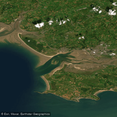
Burry Inlet Outer
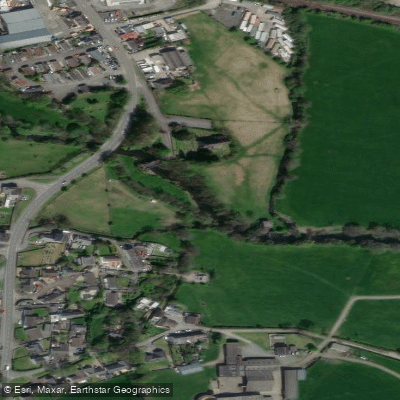
River Taf
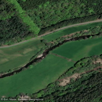
Afon Cothi

Bristol Channel
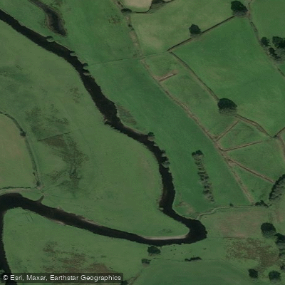
Afon Teifi
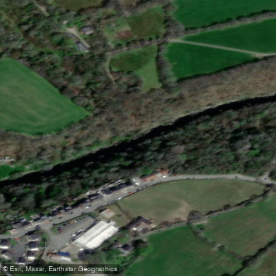
Afon Teifi
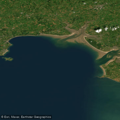
Carmarthen Bay
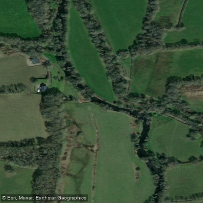
Eastern Cleddau
Explore Wales waters
Top paddling waters
No waters available right now.
Popular Cities
Loading popular cities...
Explore near Pembrokeshire South

Smarter Paddling Starts in the App.
Paddleways gives you everything you need to plan smarter, paddle better, and own every trip from first launch to takeout.