Western Cleddau
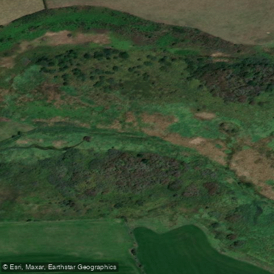
Western Cleddau
- Boat Ramps
- 0
- Access Points
- 0
- Campsites
- 0
The Western Cleddau is a river in Pembrokeshire, West Wales, forming part of the broader Daugleddau estuary system where it joins the Eastern Cleddau and two other rivers. The river has both an upper whitewater section and a lower tidal estuary character, with the Welsh Canoe Classics guidebook listing the Western River Cleddau as a whitewater (WW) route distinct from the Daugleddau Estuary paddle.
The tidal lower reaches are accessible from several launch points. Landshipping and Picton Point are noted as good launching spots for exploring both the Eastern and Western Cleddau. The tidal nature of the waterway means that different trips are achievable at different times and on different days, so planning around the tide is essential. The estuary can be paddled at all levels of the tide, offering flexibility for trip planning.
The landscape along the river is characterised by steep wooded banks, ancient oak woodland, salt flats, and marshes. Notable stopping points in the wider estuary system include Lawrenny Quay, Cresswell Quay, and Carew Tidal Mill. The area supports a wide range of wildlife, including herons, kingfishers, diving grebes, egrets, otters, and wading birds. Occasional seals have also been reported in the estuary.
The river and estuary are sheltered from easterly winds, which can be a practical advantage when coastal conditions are unfavourable. The quiet, largely undeveloped riverbanks and the presence of historical riverside architecture contribute to the overall character of the paddling experience.
Access to inland waters in England and Wales does not carry unequivocal legal rights, and paddlers are advised to check the current access situation before embarking on a trip, as landowner permissions can change. The tidal nature of the lower river also means that trip logistics, including shuttle arrangements, require advance planning. Guided canoe tours of the upper Daugleddau estuary are available through local operators, with tours typically lasting around three hours, and bespoke longer trips can be arranged on request.
Water access, boat ramps & amenities
Learn how to get on Western Cleddau. Uncover great paddling access points, boat ramps, and all the facilities you need for an unforgettable day on the water. Some locations shown may border or include private property. Always check property boundaries and applicable regulations before visiting. PaddleWays's Public & Private Land layer can help you plan your access with confidence.
Paddle smarter with real-time insights
Whether you're en route and conditions shift or you're looking for the best spot based on current flows, we enable you to make informed decisions on the fly.








Find Places to Paddle

Over 400,000 Places to Paddle
Every user gets free access to launch points, boat ramps, and public property parcels.


Water and weather conditions (10 day forecast)
See the best times to paddle Western Cleddau and check the forecast before you go.
Western Cleddau At Prendergast Mill
All Flow Stations
Paddling near Western Cleddau
Afon Tawe
Afon Tywi
Burry Inlet Outer
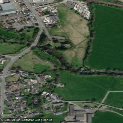
River Taf
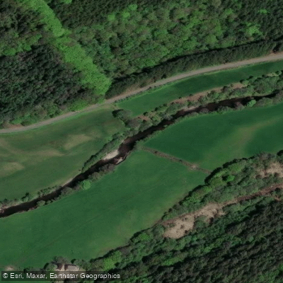
Afon Cothi

Bristol Channel
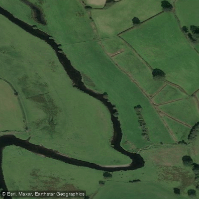
Afon Teifi
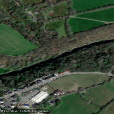
Afon Teifi
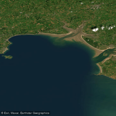
Carmarthen Bay
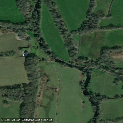
Eastern Cleddau
Explore Wales waters
Top paddling waters
No waters available right now.
Popular Cities
Loading popular cities...
Explore near Western Cleddau

Smarter Paddling Starts in the App.
Paddleways gives you everything you need to plan smarter, paddle better, and own every trip from first launch to takeout.