New Ross Port
- Saltwater
- Estuary
New Ross Port
- Saltwater
- Estuary
- Sq. miles
- 2.6
- Boat Ramps
- 0
- Access Points
- 1
- Campsites
- 0
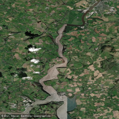
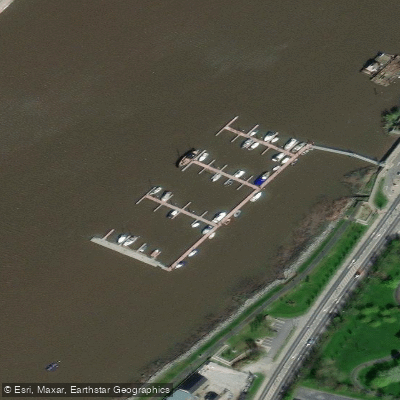
New Ross Port is the tidal section of the River Barrow, a major river estuary in County Wexford. The port area centers on the town of New Ross, which is the lowest road crossing point on the river. The primary access point for paddlers is the slipway at New Ross Boat Club, located north of the O’Hanrahan Bridge. This facility includes a dedicated pontoon for easy access for canoes, kayaks, and other small craft. The Three Sisters Marina, situated close to the town center, offers berthing for visiting vessels, though it is geared more toward larger boats. The overall character of paddling here is defined by significant commercial and recreational boat traffic within a working port environment. The navigation authority is the New Ross Port Company, which monitors VHF Channel 14; paddlers should be aware of ship movements and are advised to contact the port company when planning to be on the water. The Barrow Railway Bridge, a fixed structure with a clearance of approximately 7.1 meters above the high-water mark, spans the river mouth. Tidal currents are a major consideration, increasing in strength as you travel upriver from the sea. Near Ballyhack, currents can run at 3 to 4 knots on the ebb tide, especially after heavy rain, which necessitates careful tidal planning. The journey from the open sea to New Ross takes about four hours by boat, indicating a considerable distance and exposure for paddlers venturing from coastal waters. The river banks near the town feature historical and cultural points of interest, including the Dunbrody Famine Ship. A disused railway line along the riverbank is being transformed into a Greenway, linking New Ross with Waterford City. The water body is part of the Three Sisters river system, which includes the Barrow, Nore, and Suir rivers, and it flows into the broader Suir Estuary. Lighting along the river is being limited, which is a consideration for evening paddles.
Water access, boat ramps & amenities
Learn how to get on New Ross Port. Uncover great paddling access points, boat ramps, and all the facilities you need for an unforgettable day on the water. Some locations shown may border or include private property. Always check property boundaries and applicable regulations before visiting. PaddleWays's Public & Private Land layer can help you plan your access with confidence.
Paddle smarter with real-time insights
Whether you're en route and conditions shift or you're looking for the best spot based on current flows, we enable you to make informed decisions on the fly.







Co. Wexford licenses and regulations
No licenses or regulations available for Co. Wexford.
Find Places to Paddle

Over 400,000 Places to Paddle
Every user gets free access to launch points, boat ramps, and public property parcels.


Tides, wind & water conditions (10 day forecast)
On open water, wind and tide matter as much as the weather. See the best times to paddle New Ross Port and check the marine forecast before you launch.
Loading tide predictions…
Paddling near New Ross Port

Barrow
Suir
Eastern Celtic Sea (HAs 13;17)
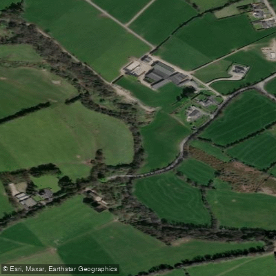
Clodiagh [Portlaw]
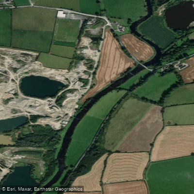
Slaney
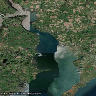
Barrow Suir Nore Estuary
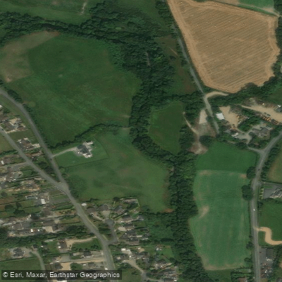
Avonbeg
Avonmore
Pollanassa
Explore Wexford waters
Top paddling waters
No waters available right now.
Popular Cities
Loading popular cities...
Explore near New Ross Port
Access points
Nearby waters
More in Co. Wexford

Smarter Paddling Starts in the App.
Paddleways gives you everything you need to plan smarter, paddle better, and own every trip from first launch to takeout.