Erne (Lough) (Upper)
Erne (Lough) (Upper)
- Boat Ramps
- 0
- Access Points
- 0
- Campsites
- 1
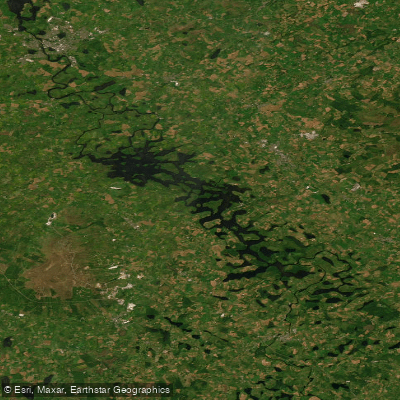
Upper Lough Erne is located in County Fermanagh, Northern Ireland, forming the southern portion of the Erne system — counterintuitively positioned to the south of Lower Lough Erne. The lough is characterized by a maze of bays, narrow channels of slow-moving water, and innumerable islands and peninsulas, making it one of the most sheltered and beginner-friendly paddling venues in Northern Ireland. This complex landscape is the result of a flooded drumlin terrain, giving the lough a fragmented, intricate geography quite different from the open expanse of Lower Lough Erne to the north.
The overall character of Upper Lough Erne is calm and well-suited to families and novice paddlers. The sheltered channels and numerous islands provide natural protection from wind, and the flow of the Erne system runs from south to north — from Upper to Lower Lough Erne — though the current on the lough sections themselves is negligible. Wind direction is a far more significant factor than current when planning a paddle here.
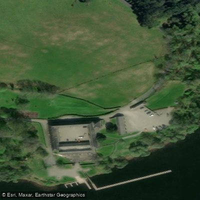
Access to the water is free and no licence is required. Numbered access points along the Lough Erne Canoe Trail serve the area, including Carrybridge (Access Point 7), Knockninny (Access Point 8), Smith's Strand (Access Point 9), and Crom Estate (Access Point 10). Because the lough's island-dotted layout allows paddlers to loop back to their starting point, shuttles are generally unnecessary, though local hire providers can arrange them if needed.
Upper Lough Erne connects to a broader network of waterways. To the south, the Woodford River links to the Shannon-Erne Waterway, which extends approximately 63 km to Leitrim in the Republic of Ireland and ultimately all the way to Limerick. To the north, the River Erne flows through Enniskillen and connects to Lower Lough Erne. The River Erne flowing in from Belturbet also links the system to Lough Oughter and Lough Gowna in County Cavan.
Points of interest accessible by paddle include Crom Estate, Knockninny, Naan Island, Trannish Island, and what is locally referred to as Hara Krishna Island. The surrounding shores support notable wildlife including whooper swans and great crested grebes. The area is also noted for wild camping opportunities along quiet stretches of shoreline.
Water access, boat ramps & amenities
Learn how to get on Erne (Lough) (Upper). Uncover great paddling access points, boat ramps, and all the facilities you need for an unforgettable day on the water. Some locations shown may border or include private property. Always check property boundaries and applicable regulations before visiting. PaddleWays's Public & Private Land layer can help you plan your access with confidence.
Paddle smarter with real-time insights
Whether you're en route and conditions shift or you're looking for the best spot based on current flows, we enable you to make informed decisions on the fly.







Co. Cavan licenses and regulations
No licenses or regulations available for Co. Cavan.
Find Places to Paddle

Over 400,000 Places to Paddle
Every user gets free access to launch points, boat ramps, and public property parcels.


Water and weather conditions (10 day forecast)
See the best times to paddle Erne (Lough) (Upper) and check the forecast before you go.
No forecast data available.
Paddling near Erne (Lough) (Upper)

Shannon [Upper]
Donegal Bay
Erne
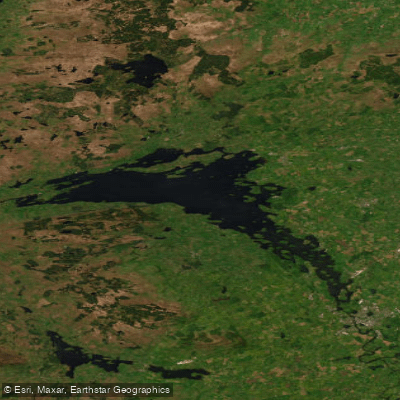
Lower Lough Erne
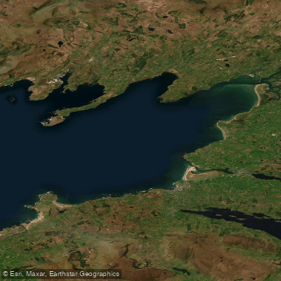
Donegal Bay (Erne)

Inny [Shannon]
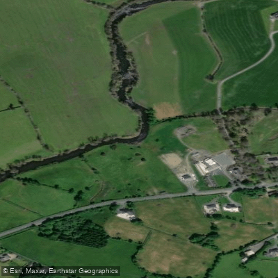
Annalee
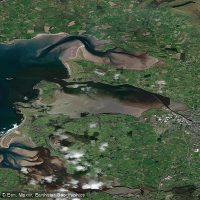
Garavoge Estuary
Cloone [Lough Rinn]
Explore Cavan waters
Top paddling waters
No waters available right now.
Popular Cities
Loading popular cities...
Explore near Erne (Lough) (Upper)
Access points
Nearby waters
More in Co. Cavan

Smarter Paddling Starts in the App.
Paddleways gives you everything you need to plan smarter, paddle better, and own every trip from first launch to takeout.