Lough Sheelin
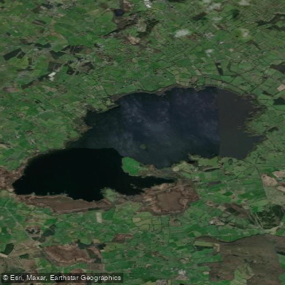
Lough Sheelin
- Boat Ramps
- 0
- Access Points
- 0
- Campsites
- 0
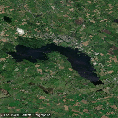
Lough Sheelin is a limestone freshwater lake in central Ireland, sitting at the meeting point of Counties Westmeath, Meath, and Cavan, near the villages of Finnea and Mountnugent. It measures approximately 8 km long and up to 4 km wide, covering a surface area of around 19 km² (roughly 4,500 acres). The lake is part of the River Inny system, which feeds into the Shannon catchment. With an average depth of just 4.4 m and a maximum depth of 15 m, the water is relatively shallow throughout, and the high pH of the limestone-rich water gives it notable clarity. The lake contains ten islands, which add navigational interest and variety to any circuit of the water.
Public access points are available at Inny Bridge, Finea, Rusheen Bay, Crover Pier, and Kilnahard Pier. Private berthage can be arranged through Sailors Garden and Ross Shore. Parking is available at most access points, though spaces fill quickly on dry summer weekends.
The lake holds Special Protection Area (SPA) status for birdlife, with peak wildlife activity occurring between November and March. The surrounding landscape includes Mullaghmeen Forest, which offers walking trails with maps available at the forest entrance.
Paddlers sharing the water with anglers should be aware that Lough Sheelin is a heavily managed brown trout fishery, and the open angling season runs from 1 March to 12 October. Boat traffic from fishing activity is likely during this period, particularly during peak hatch windows. The lake fishes best in moderate winds with a small wave, which means paddlers can expect variable surface conditions depending on wind direction. The relatively shallow average depth means wave chop can build quickly in open water. Anglers and other water users are advised to exercise standard safety precautions given the exposed nature of the lake.
Lough Sheelin sits roughly 120 km northwest of Dublin. Road access follows the N3 through Cavan or the M4 via Athlone, with signage for Finea and Mountnugent directing visitors to the main public jetties.
Water access, boat ramps & amenities
Learn how to get on Lough Sheelin. Uncover great paddling access points, boat ramps, and all the facilities you need for an unforgettable day on the water. Some locations shown may border or include private property. Always check property boundaries and applicable regulations before visiting. PaddleWays's Public & Private Land layer can help you plan your access with confidence.
Paddle smarter with real-time insights
Whether you're en route and conditions shift or you're looking for the best spot based on current flows, we enable you to make informed decisions on the fly.







Co. Cavan licenses and regulations
No licenses or regulations available for Co. Cavan.
Find Places to Paddle

Over 400,000 Places to Paddle
Every user gets free access to launch points, boat ramps, and public property parcels.


Water and weather conditions (10 day forecast)
See the best times to paddle Lough Sheelin and check the forecast before you go.
Mount Nugent
Paddling near Lough Sheelin

Inny [Shannon]
Erne
Outer Dundalk Bay
Boyne

Shannon [Upper]
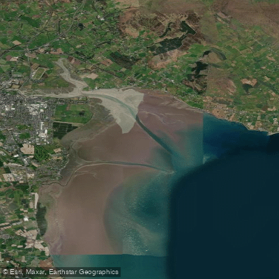
Inner Dundalk Bay
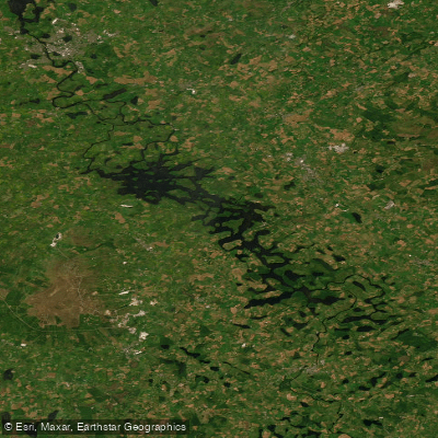
Erne (Lough) (Upper)
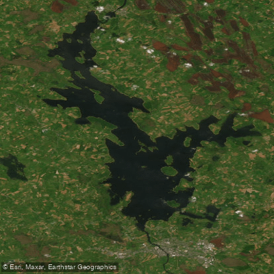
Lough Ree
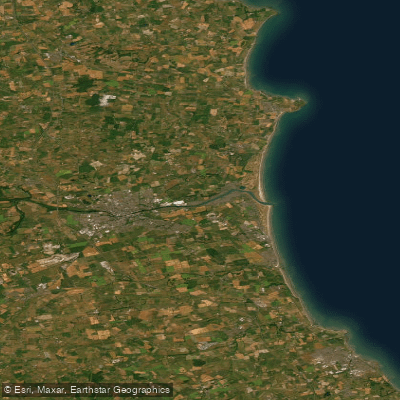
Boyne Estuary
Lough Ramor
Explore Cavan waters
Top paddling waters
No waters available right now.
Popular Cities
Loading popular cities...
Explore near Lough Sheelin

Smarter Paddling Starts in the App.
Paddleways gives you everything you need to plan smarter, paddle better, and own every trip from first launch to takeout.