Lower Shannon Estuary
- Saltwater
- Estuary
Lower Shannon Estuary
- Saltwater
- Estuary
- Sq. miles
- 47
- Boat Ramps
- 0
- Access Points
- 0
- Campsites
- 1
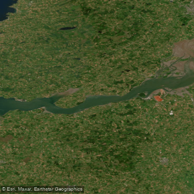
The Lower Shannon Estuary is a large, sheltered coastal water body on the west coast of Ireland, forming the final section of Ireland's longest river before it meets the Atlantic Ocean. Its southeastern shoreline within County Clare is characterized by gently sloping shores with sand beaches and mudflats, contrasting with the dramatic cliffs found elsewhere on the peninsula. This geography creates a mix of open water and more protected inshore areas. The estuary is a major deep-water marine port and transport facility, accommodating very large ships, which indicates significant and frequent commercial vessel traffic. This heavy shipping activity is a primary safety consideration for paddlers, requiring constant awareness and likely dictating specific routes to avoid main shipping channels. The area is also of considerable environmental importance, designated as a Special Area of Conservation, with extensive mudflats and a notable population of bottlenose dolphins, offering wildlife viewing opportunities. The tides are strong throughout the estuary, and obtaining tide tables is strongly recommended for trip planning. The towns of Kilrush and Carrigaholt, which house a lifeboat station and a dolphin watch center respectively, are logical points of access on the County Clare side. The water quality has been reported as unpolluted in recent sampling periods. The overall paddling experience is defined by its vast, open waters, significant industrial and natural coexistence, and the need for careful planning around tides and ship traffic.
Water access, boat ramps & amenities
Learn how to get on Lower Shannon Estuary. Uncover great paddling access points, boat ramps, and all the facilities you need for an unforgettable day on the water. Some locations shown may border or include private property. Always check property boundaries and applicable regulations before visiting. PaddleWays's Public & Private Land layer can help you plan your access with confidence.
Paddle smarter with real-time insights
Whether you're en route and conditions shift or you're looking for the best spot based on current flows, we enable you to make informed decisions on the fly.







Co. Clare licenses and regulations
No licenses or regulations available for Co. Clare.
Find Places to Paddle

Over 400,000 Places to Paddle
Every user gets free access to launch points, boat ramps, and public property parcels.


Tides, wind & water conditions (10 day forecast)
On open water, wind and tide matter as much as the weather. See the best times to paddle Lower Shannon Estuary and check the marine forecast before you launch.
Loading tide predictions…
Paddling near Lower Shannon Estuary
Shannon [Lower]
Lough Leane
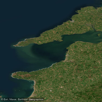
Mouth of the Shannon (HAs 23;27)
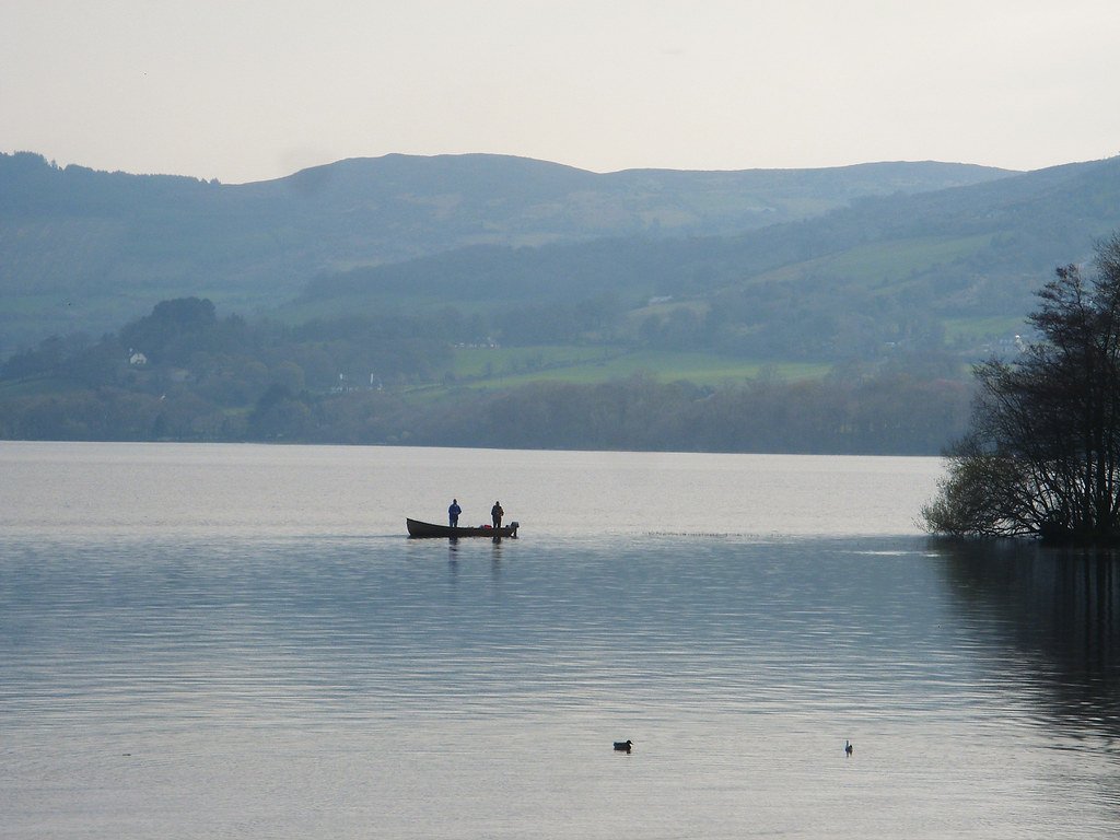
Lough Derg
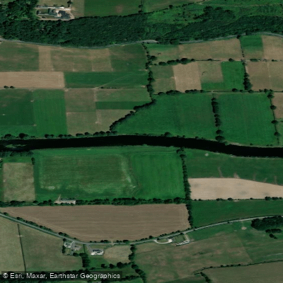
Blackwater [Munster]
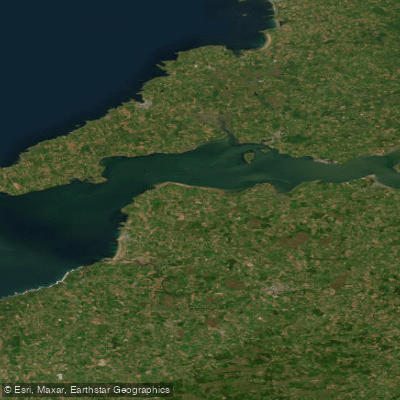
Shannon Estuary
Fergus
Inagh [Ennistymon]

Lough Corrib
Explore Clare waters
Top paddling waters
No waters available right now.
Popular Cities
Loading popular cities...
Explore near Lower Shannon Estuary

Smarter Paddling Starts in the App.
Paddleways gives you everything you need to plan smarter, paddle better, and own every trip from first launch to takeout.