Shannon Estuary
- Saltwater
- Estuary
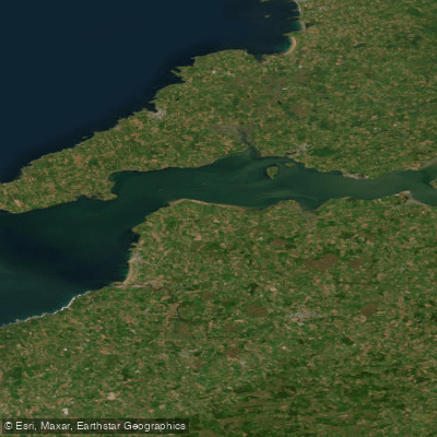
Shannon Estuary
- Saltwater
- Estuary
- Sq. miles
- 161
- Boat Ramps
- 0
- Access Points
- 0
- Campsites
- 0
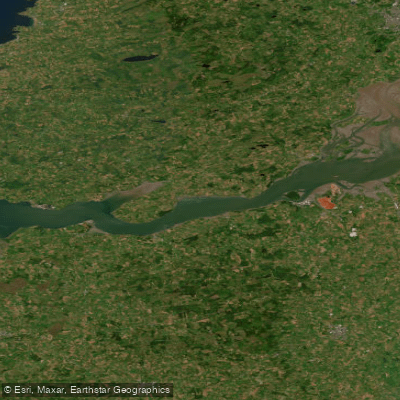
The Shannon Estuary is a large, tidal saltwater body forming the final section of Ireland's longest river, where it meets the Atlantic Ocean. It is a significant coastal feature, approximately 102 kilometers long, stretching from Limerick city out to the open sea. For paddlers, the estuary presents a distinct environment compared to the sheltered freshwater loughs upstream. The water is influenced by strong tidal flows, and the open exposure to the Atlantic can generate significant swells and wind-driven waves, which are primary hazards. The estuary's character is one of a broad, open waterway with expansive views, bordered by the counties of Clare, Limerick, and Kerry. It is ecologically rich, designated as a Special Protection Area, and is known for its populations of wetland birds and dolphins, which are regularly observed from the water. Historical sites like Carrigafoyle Castle and Scattery Island, with its ancient monastic heritage, are notable cultural landmarks along the shores. The estuary is part of the wider Shannon Blueway network, which terminates at Killaloe in County Clare, suggesting this may serve as a transition point from river to estuary paddling. Paddlers must be prepared for variable conditions, with wind and swell being the principal safety considerations, and should plan trips carefully around tides and weather forecasts due to the exposed marine environment.
Water access, boat ramps & amenities
Learn how to get on Shannon Estuary. Uncover great paddling access points, boat ramps, and all the facilities you need for an unforgettable day on the water. Some locations shown may border or include private property. Always check property boundaries and applicable regulations before visiting. PaddleWays's Public & Private Land layer can help you plan your access with confidence.
Paddle smarter with real-time insights
Whether you're en route and conditions shift or you're looking for the best spot based on current flows, we enable you to make informed decisions on the fly.







Co. Clare licenses and regulations
No licenses or regulations available for Co. Clare.
Find Places to Paddle

Over 400,000 Places to Paddle
Every user gets free access to launch points, boat ramps, and public property parcels.


Tides, wind & water conditions (10 day forecast)
On open water, wind and tide matter as much as the weather. See the best times to paddle Shannon Estuary and check the marine forecast before you launch.
Loading tide predictions…
Paddling near Shannon Estuary
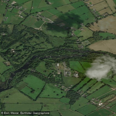
Shannon [Lower]
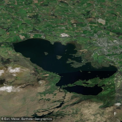
Lough Leane
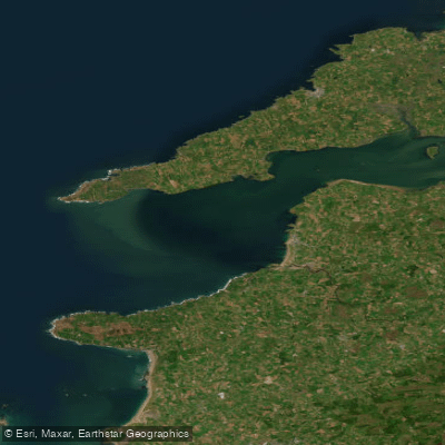
Mouth of the Shannon (HAs 23;27)
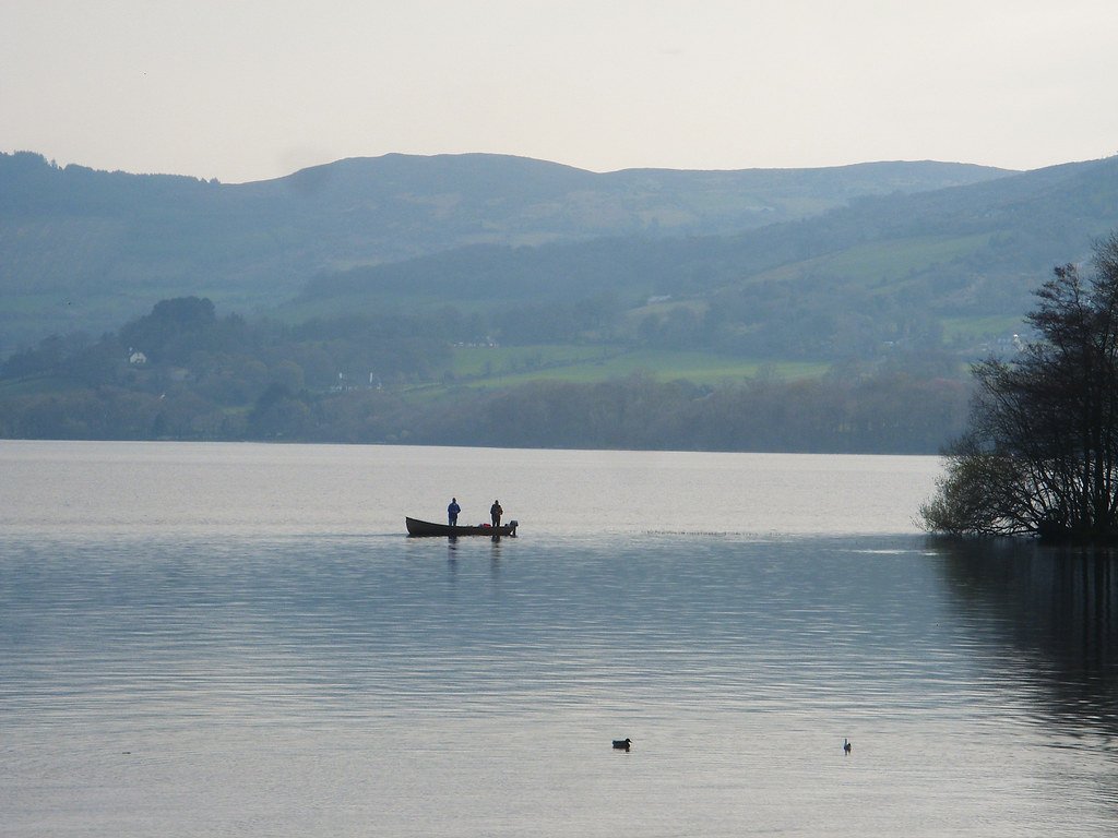
Lough Derg
Blackwater [Munster]
Fergus
Inagh [Ennistymon]
Lower Shannon Estuary

Lough Corrib
Explore Clare waters
Top paddling waters
No waters available right now.
Popular Cities
Loading popular cities...
Explore near Shannon Estuary

Smarter Paddling Starts in the App.
Paddleways gives you everything you need to plan smarter, paddle better, and own every trip from first launch to takeout.