Maigue
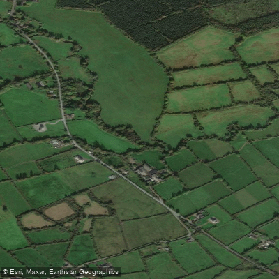
Maigue
- Boat Ramps
- 0
- Access Points
- 0
- Campsites
- 0
The River Maigue rises in the Ballyhoura Mountains in north County Cork and flows northward through Croom and Adare in County Limerick before joining the Shannon Estuary west of Limerick City. The paddleable section near Adare is approximately 3.5 kilometres long and is graded 1–3, making it one of the more accessible whitewater runs in the Munster region.
The defining feature of this stretch is its twelve weirs, separated by short flat sections. Some of the weirs offer play opportunities, and the run is compact enough to allow multiple laps in a single session. This combination of features makes the Maigue a practical training river, particularly for beginners working on weir technique and basic river reading. It is regularly used by Limerick Kayak Club as part of their Sunday trip rotation alongside the Shannon and other local rivers.
One consideration for paddlers is that the stretch from the bridge in Adare downriver for approximately 1.5 kilometres is tidal, which will affect water levels and current depending on the state of the tide. The Adare Manor estate holds a private stretch of the river, accessible only to guests of the manor, so paddlers should be aware of this boundary when planning a route.
Water levels on Irish rivers can change rapidly with rainfall, and the Maigue is no exception. Checking gauge levels before heading out is advisable, as the river may be too low in dry periods and potentially hazardous after sustained heavy rainfall. The river flows through a limestone catchment, which gives it the character typical of rich lowland limestone rivers in the region.
The town of Adare itself is the main reference point for access to this section. The run is short enough that it suits a half-day outing, and its proximity to Limerick city makes it a convenient option for paddlers based in the region. Standard whitewater safety equipment — helmet and buoyancy aid — is expected on this river, as on any moving water in Ireland.
Water access, boat ramps & amenities
Learn how to get on Maigue. Uncover great paddling access points, boat ramps, and all the facilities you need for an unforgettable day on the water. Some locations shown may border or include private property. Always check property boundaries and applicable regulations before visiting. PaddleWays's Public & Private Land layer can help you plan your access with confidence.
Paddle smarter with real-time insights
Whether you're en route and conditions shift or you're looking for the best spot based on current flows, we enable you to make informed decisions on the fly.







Co. Cork licenses and regulations
No licenses or regulations available for Co. Cork.
Find Places to Paddle

Over 400,000 Places to Paddle
Every user gets free access to launch points, boat ramps, and public property parcels.


Water and weather conditions (10 day forecast)
See the best times to paddle Maigue and check the forecast before you go.
Croom
All Flow Stations
Paddling near Maigue
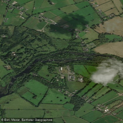
Shannon [Lower]
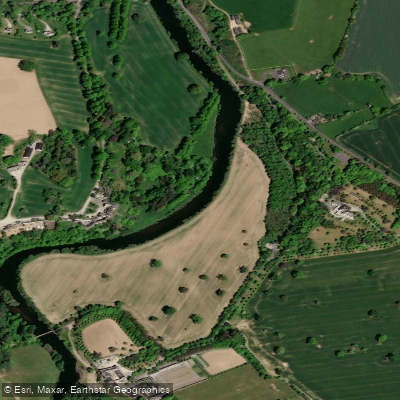
Suir
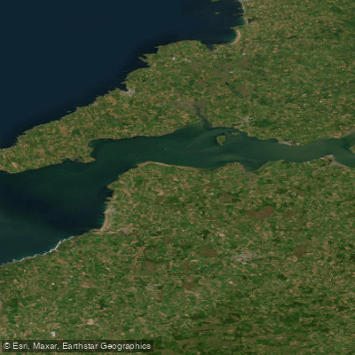
Shannon Estuary
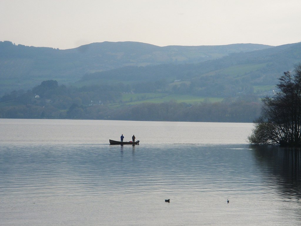
Lough Derg
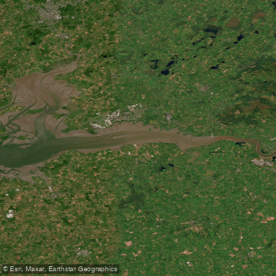
Upper Shannon Estuary
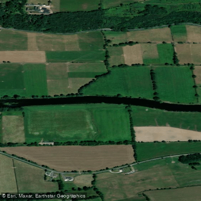
Blackwater [Munster]
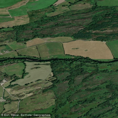
Lee [Cork]
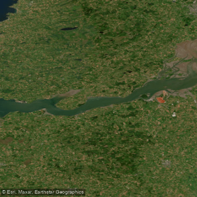
Lower Shannon Estuary
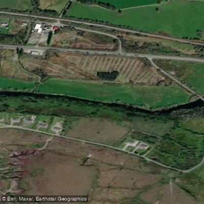
Flesk [Kerry]
Explore Cork waters
Top paddling waters
No waters available right now.
Popular Cities
Loading popular cities...
Explore near Maigue

Smarter Paddling Starts in the App.
Paddleways gives you everything you need to plan smarter, paddle better, and own every trip from first launch to takeout.