Donegal Bay (Erne)
- Saltwater
- Bay
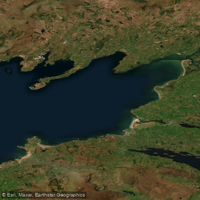
Donegal Bay (Erne)
- Saltwater
- Bay
- Sq. miles
- 87
- Boat Ramps
- 0
- Access Points
- 0
- Campsites
- 1
Donegal Bay (Erne) is a coastal waterbody on the south coast of County Donegal, facing west into the Atlantic Ocean. The bay is characterized by a long, sandy beach at Rossnowlagh, which extends for approximately 2,150 meters and is confined by Coolmore cliffs to the south and the area of Inishfad and Durnesh Lake to the north. This beach serves as a primary access point for launching and landing paddlecraft. The bay receives a strong wash of water from the Atlantic, indicating significant exposure to ocean swells and wind. This creates conditions suitable for surfing, with several surf schools operating on the beach, particularly in summer. Paddlers should anticipate a dynamic marine environment with potential for surf zones at the beach entry and exit points. The area is used for a variety of marine activities including kayaking, sailing, power boating, and jet skiing, with specific regulations for craft defined in the Maritime Craft Bye Laws, particularly regarding designated areas. The water quality status of Donegal Bay (Erne) is classified as 'High' based on recent monitoring. The surrounding area is rural but features an extensive network of houses and caravan parks, suggesting some visitor amenities are available near the beach. The bay is part of a larger hydrological system and is designated as both a Special Area of Conservation (SAC) and a Special Protection Area (SPA).
Water access, boat ramps & amenities
Learn how to get on Donegal Bay (Erne). Uncover great paddling access points, boat ramps, and all the facilities you need for an unforgettable day on the water. Some locations shown may border or include private property. Always check property boundaries and applicable regulations before visiting. PaddleWays's Public & Private Land layer can help you plan your access with confidence.
Paddle smarter with real-time insights
Whether you're en route and conditions shift or you're looking for the best spot based on current flows, we enable you to make informed decisions on the fly.







Co. Donegal licenses and regulations
No licenses or regulations available for Co. Donegal.
Find Places to Paddle

Over 400,000 Places to Paddle
Every user gets free access to launch points, boat ramps, and public property parcels.


Tides, wind & water conditions (10 day forecast)
On open water, wind and tide matter as much as the weather. See the best times to paddle Donegal Bay (Erne) and check the marine forecast before you launch.
Loading tide predictions…
Paddling near Donegal Bay (Erne)
Lower Lough Erne

Shannon [Upper]
Donegal Bay
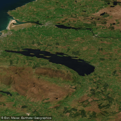
Lough Melvin
Duff
Bonet
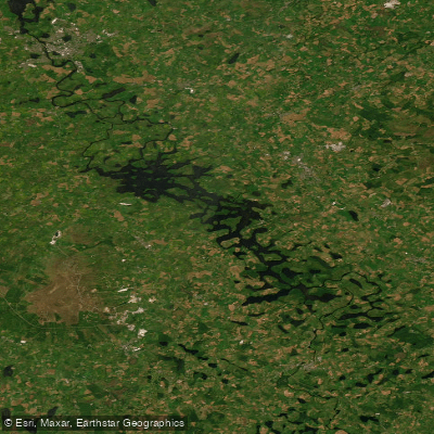
Erne (Lough) (Upper)
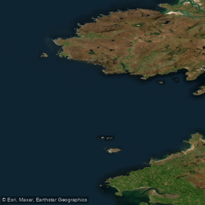
Donegal Bay Northern
Glenaniff
Explore Donegal waters
Top paddling waters
No waters available right now.
Popular Cities
Loading popular cities...
Explore near Donegal Bay (Erne)
Access points
Nearby waters
More in Co. Donegal

Smarter Paddling Starts in the App.
Paddleways gives you everything you need to plan smarter, paddle better, and own every trip from first launch to takeout.